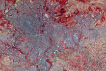
Although it is only the tenth largest country in Africa, Ethiopia is the second most populous country on the continent. Nearly a third of the country’s urban population lives in Adis Abeba (more commonly known as Addis Ababa).
Published Nov 7, 2008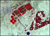
In the arid stretches of southern Algeria lies the Ouargla Oasis. The imagery shows both urbanization near the oasis, and an assortment of irrigated fields in the region.
Published Feb 1, 2009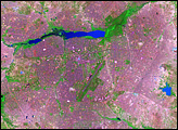
In western Africa, just south of the Sahara Desert, lies the landlocked nation of Burkina Faso. The nation experienced a 200 percent increase in urban population between 1975 and 2000. Much of that growth occurred in the capital city of Ouagadougou: Between 1960 and 1993, Ouagadougou experienced a 14-fold increase in area.
Published Jun 29, 2008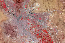
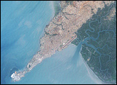
Though governed by separate countries, the cities of El Paso, Texas, and Juarez, Mexico, merge into an apparently seamless metropolis in this satellite image, but vegetation is confined mostly to the United States' side of the border.
Published Mar 15, 2009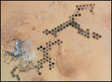
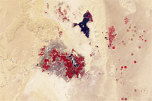
Green circles in the desert frequently indicate tracts of agriculture supported by center-pivot irrigation. The Al Khufrah Oasis in southeastern Libya (near the Egyptian border) is one of Libya’s largest agricultural projects, and is an easy-to-recognize landmark for orbiting astronauts aboard the International Space Station. Because only about 2 percent of Libya’s land receives enough rainfall to be cultivated, this project uses fossil water from a large underground aquifer. The Libyan government also has a plan called the Great Man Made River to pump and transport these groundwater reserves to the coast to support Libya’s growing population and industrial development.
Published Nov 15, 2004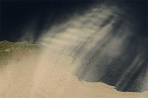
Acquired February 7, 2013, this natural-color image shows dust plumes and irrigation projects along Libya’s coast.
Published Feb 12, 2013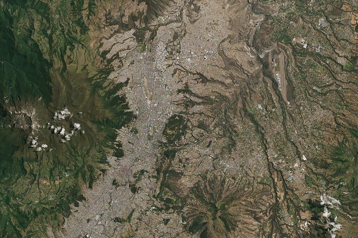
In the past three decades, Quito’s urban area has more than quadrupled.
Published Sep 30, 2019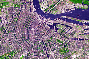
Planned at the end of the sixteenth century and built during the seventeenth, Amsterdam has inspired generations of city planners.
Published Jul 21, 2013
alert message
