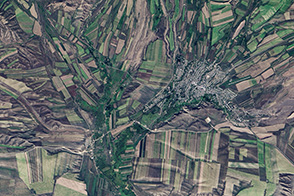
Farming and natural topography turn this Landsat image into something reminiscent of a cubist painting in shades of green and tan.
Published Sep 25, 2013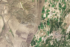
People often say that borders are not visible from space. But the line between Kazakhstan and China couldn't be clearer if it were drawn on the sand.
Published Aug 16, 2014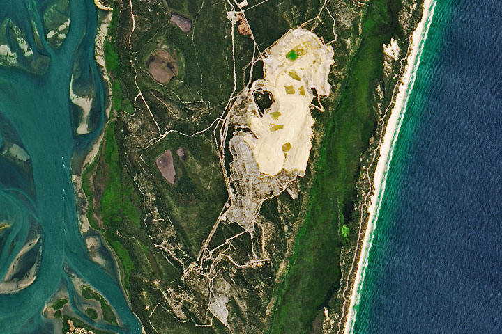
After seven decades, sand mining operations have stopped in Australia’s North Stradbroke Island.
Published May 7, 2020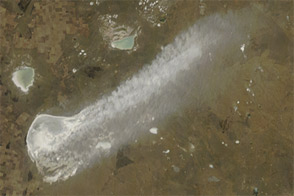
Winds occasionally loft fine dust into the air from the shores of Ozero Siletiteniz.
Published Apr 24, 2012
The pit near Phalaborwa and Kruger National Park is the most visible sign of a long history of mining in the region.
Published Jul 30, 2019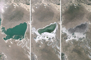
As mining and farming intensifies in this dry region, lake levels are dropping.
Published Apr 8, 2015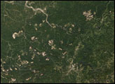
Mountaintop removal mining dramatically changes the topography across thousands of acres. Mountaintop removal mining alters this topography by reducing the elevation of the ridge lines, flattening out the steep slopes, and also by filling in hollows and stream beds with the excess rock and dirt that once topped the mountains.
Published Dec 28, 2007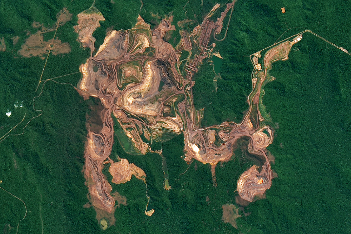
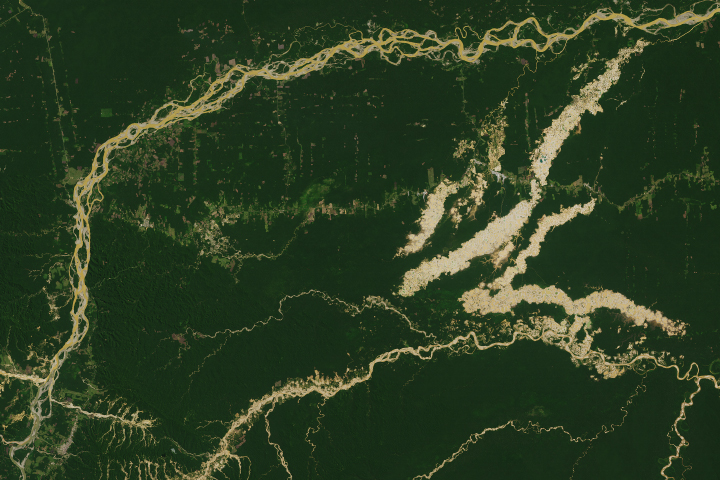
The red-brown earth exposed by open pit mines contrast with the greens of the surrounding Amazon forest.
Published Feb 23, 2019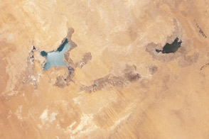
Between 2002 and 2012, water levels dropped significantly in these manmade lakes in the Sahara.
Published Jul 16, 2012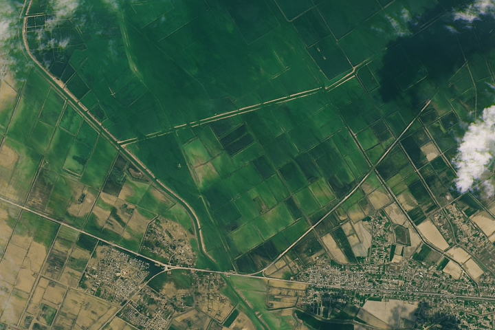
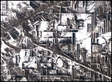
Water has stopped pouring from the broken wall of the Sardoba Reservoir, but many areas are still submerged.
Published May 11, 2020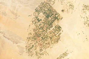
This photograph from the International Space Station presents an almost surreal view of abundant green fields in the midst of a barren desert.
Published Mar 5, 2012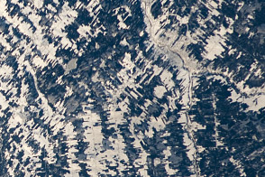
Is that a tapestry or an agricultural scene from Canada?
Published Jan 23, 2012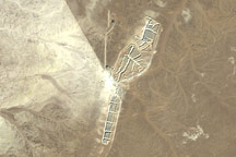
Phosphate deposits are one of Western Sahara’s few natural resources. At the Bou Craa phosphate mine, 100 kilometers (about 60 miles) from the coastal city of El Aaiún, abundant, pure phosphate deposits lie near the surface.
Published Oct 5, 2008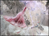
The Madre de Dios region has a rich concentration of endemic species, but their habitats are being threatened by human activity.
Published Apr 19, 2019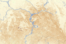
This vegetation index image shows how drought limited plant growth in southern Russia between June 26 and July 11, 2010.
Published Jul 24, 2010alert message
