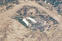
Taken on May 22, 2010, this astronaut photograph shows flooding along the Vistula River near the towns of Gorzyce, Sokolniki, and Trześń.
Published May 28, 2010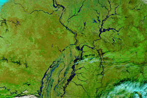
Parts of the Mississippi are swollen and spilling over its banks due to late December rains that are now flowing downstream.
Published Jan 5, 2016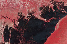
This pair of images from the Advanced Spaceborne Thermal Emission and Reflection Radiometer (ASTER) on NASA’s Terra satellite shows flooding in along the Chobe River in Namibia.
Published Apr 8, 2009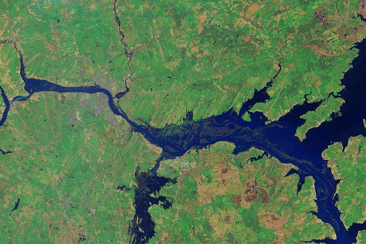
Warm temperatures and a heavy late-season snowpack led to flooding in Canada’s New Brunswick province.
Published May 9, 2018Image of the Day Land Water Floods Human Presence Remote Sensing
Acquired May 30, 2011, and June 27, 2011, these false-color images show the advance of flood waters down the Missouri River over a four-week interval.
Published Jun 28, 2011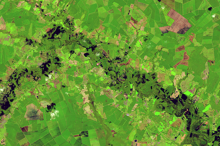
Rivers swelled from the torrential rains of Hurricane Florence.
Published Sep 22, 2018Image of the Day Land Water Severe Storms Human Presence Remote Sensing
A series of rainstorms pushed rivers in southern Great Britain to flood stage in February 2014.
Published Feb 17, 2014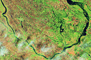
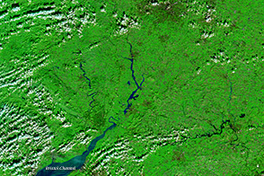
Acquired June 1, 2011, and July 2, 2002, these false-color images compare conditions along the Souris River in North Dakota.
Published Jun 6, 2011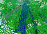
Standing on the ground, it is impossible to gauge the full scope of a disaster the size of the Kosi River floods in northeastern India. On August 18, 2008, the river, swollen with monsoon rains, burst through an embankment into an old channel. By September 2, the river’s course still took it over populated land that had not been prone to flooding in the past. To grasp the full extent of this flood, you need the view from space.
Published Sep 6, 2008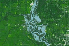
A series of heavy rainstorms raised river levels to their second highest on record.
Published Sep 29, 2016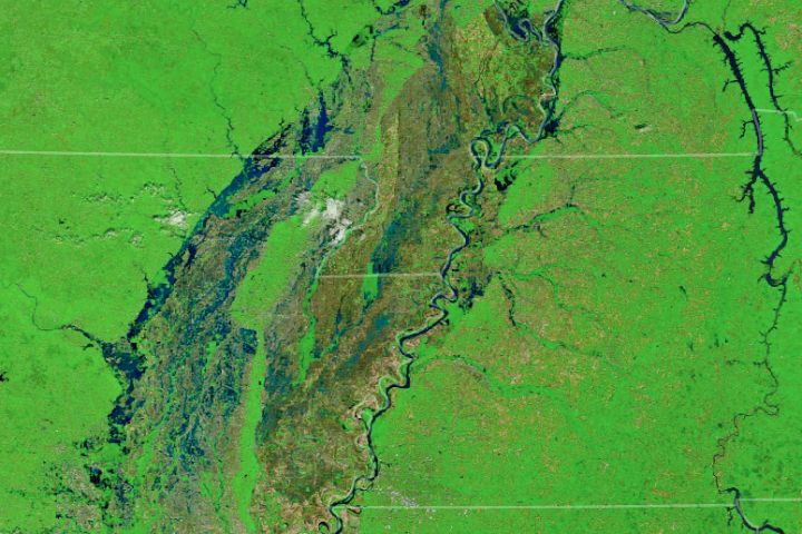
Several tributaries of the Mississippi River face record or near-record water levels.
Published May 3, 2017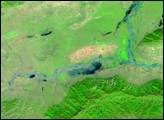
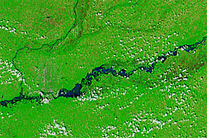
Relentless rains are to blame for ongoing flooding in northeastern China. On September 1, 2003, embankments along the Weihe river, left, burst.
Published Oct 23, 2003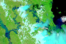
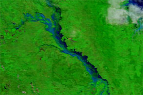
Rivers in Australia’s Fitzroy Basin are swollen in this false-color image acquired on January 4, 2011.
Published Jan 6, 2011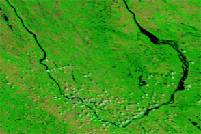
Acquired July 7, 2011, and July 4, 2010, these false-color images compare conditions along the Souris River in North Dakota, where record flooding struck in June 2011.
Published Jul 7, 2011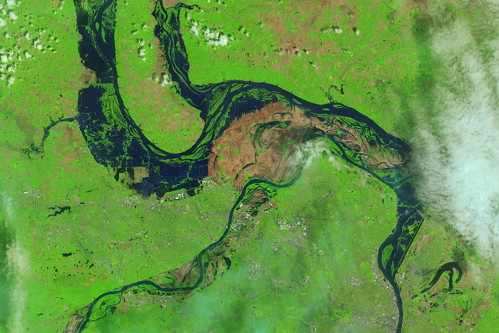
The Landsat 8 satellite observed water out of the river banks and on the floodplains near St. Louis.
Published May 9, 2019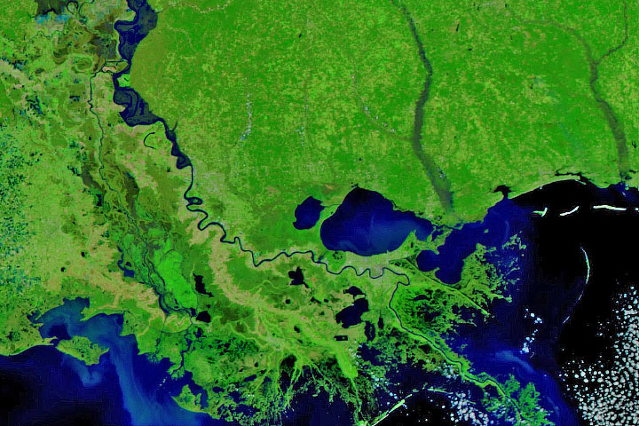
Persistent heavy rains in the first two months of 2020 have swelled rivers from Missouri to the Gulf of Mexico.
Published Feb 29, 2020Image of the Day Land Water Floods Severe Storms Human Presence Remote Sensing
Acquired in late March 2012 and 2011, these images compare conditions along the Isaac River, a tributary of Queensland’s Fitzroy River.
Published Mar 29, 2012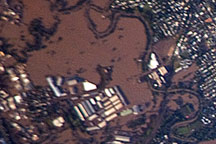
Acquired January 13, 2011 by astronauts aboard the ISS, this photograph shows extensive flooding in the Brisbane suburb of Rocklea.
Published Jan 18, 2011alert message
