
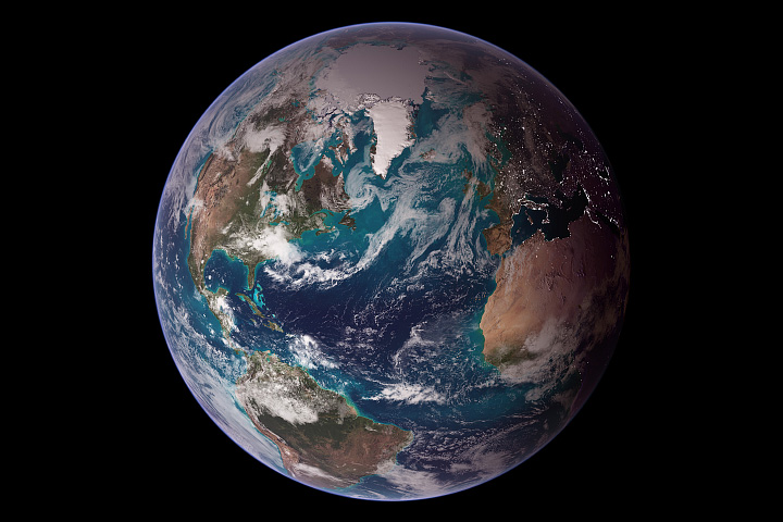
This view of Earth from space is a fusion of science and art, drawing on data from multiple satellite missions and the talents of NASA scientists and graphic artists.
Published Oct 9, 2007
This image of Earth is a composite of the first full day of data gathered by the Moderate Resolution Imaging Spectroradiometer on the Terra spacecraft.
Published Jun 30, 2000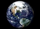

A NASA satellite captures one of its first clear views of the Arctic sea ice cap.
Published Oct 2, 2000
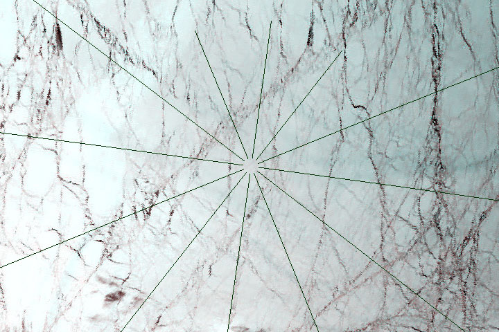
People have been marveling at glories for centuries, but satellites offer a unique perspective on the colorful optical phenomenon.
Published Jun 23, 2018
alert message
