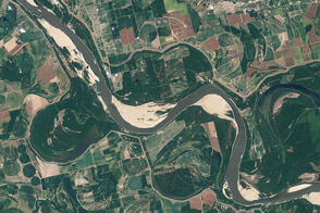
Coming off of the extreme floods of 2011, the river was approaching historic lows in the summer of 2012 near Memphis and along much of its lower reaches.
Published Aug 21, 2012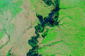
Acquired May 20, 2011, and April 14, 2011, these false-color images show water levels along the Mississippi River.
Published May 23, 2011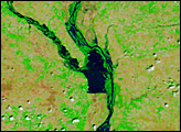
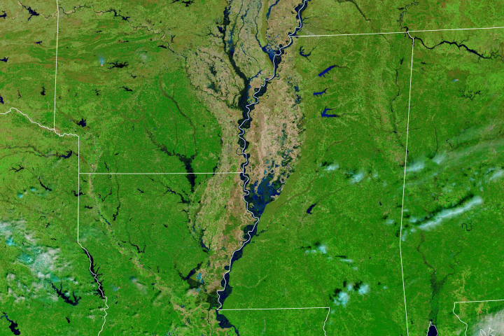
Much of the Lower Mississippi River was flooded in March.
Published Mar 20, 2019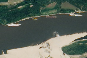
The drought of 2012 reduced traffic to one towboat at a time; groundings closed parts of the river for hours to days.
Published Aug 23, 2012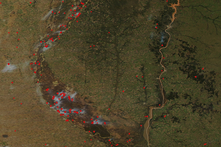
A drought around South America’s second longest river has grounded ships and contributed to a rash of fire in the delta and floodplain.
Published Jul 29, 2020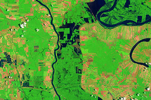
These false-color images compare conditions along the Mississippi River and Atchafalaya Basin in June 2011, during heavy flooding, and three years earlier.
Published Jun 13, 2011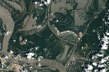
The Mississippi River is rising around Vicksburg, Mississippi, in this image taken on May 10, 2011.
Published May 11, 2011
These false-color images compare conditions along the Mississippi and Yazoo Rivers around Vicksburg in June 2011, during heavy flooding, and three years earlier.
Published Jun 14, 2011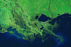
Engineers use levees, floodways, dams, and much more to control the ever restless Mississippi.
Published Mar 18, 2015alert message
