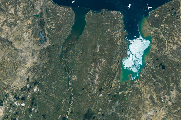
Sea ice and waterways along the north side of Canada’s high-Arctic island reveal compelling patterns when viewed from above.
Published Nov 30, 2020
In the past few centuries, a river in northwestern Canada stopped wandering and assumed a more direct route to the sea.
Published Sep 4, 2012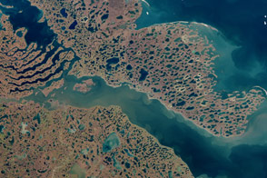
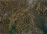
Acquired September 2, 2000, this natural-color image shows the area around Liverpool Bay in Canada’s Northwest Territories.
Published Aug 21, 2011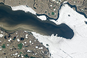
Half-frozen, half-thawed, the Taz River was in transition when Landsat 8 acquired this series of images in June 2013.
Published Jul 20, 2013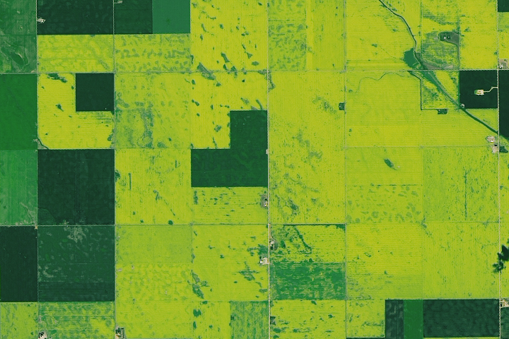
Vast tracts of the prairie turn yellow in the summer when this oil-rich crop blooms.
Published Aug 27, 2019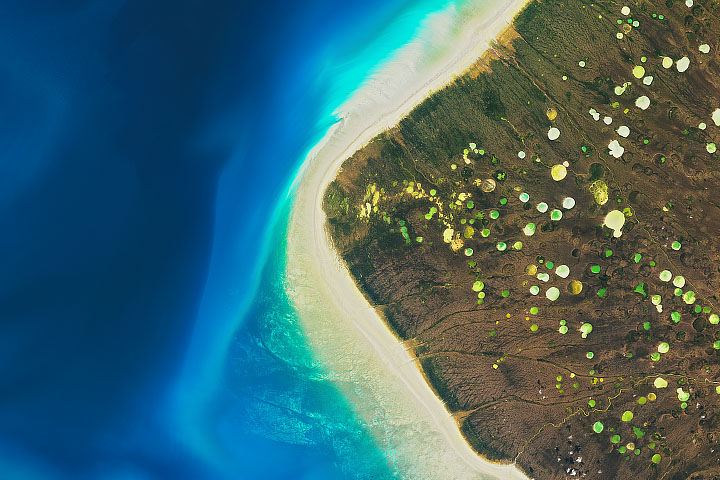
The Dewey Soper Bird Sanctuary in Canada is marked by its diverse terrain and large number of feathery inhabitants.
Published Oct 11, 2019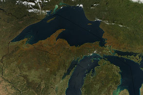
Leaves change from green to orange and brown across the United States and Canada.
Published Oct 15, 2015
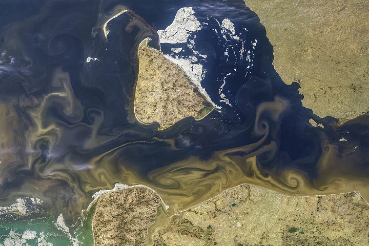
Freshwater from the Yenisei River, stained brown with organic materials, mixes with Arctic seawater off the coast of Russia.
Published Aug 17, 2019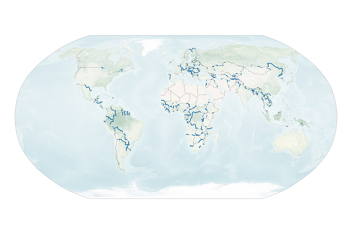
A new dataset reveals interesting patterns about where and why rivers define national borders.
Published Sep 17, 2020
Operation IceBridge, an aerial ice surveying mission, has plenty of area to cover.
Published May 9, 2014alert message
