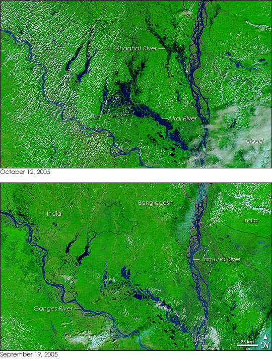
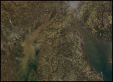
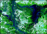
Dozens of villages were inundated when rain pushed the rivers of northwestern Bangladesh over their banks in early October 2005. The Moderate Resolution Imaging Spectroradiometer (MODIS) on NASA’s Terra satellite captured the top image of the flooded Ghaghat and Atrai Rivers on October 12, 2005. The deep blue of the rivers is spread across the countryside in the flood image, and a few clouds—light blue and white in this false-color treatment—cover the region.
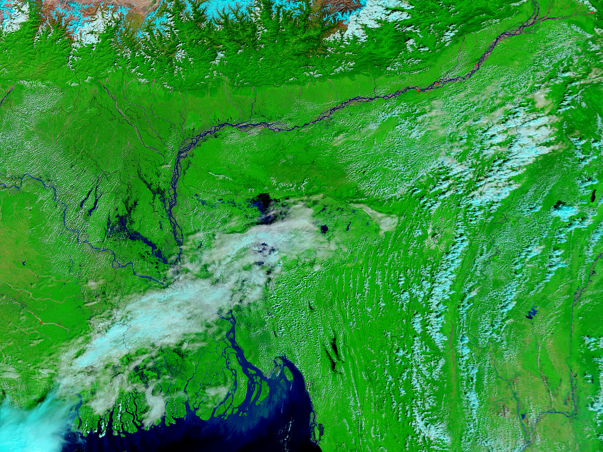
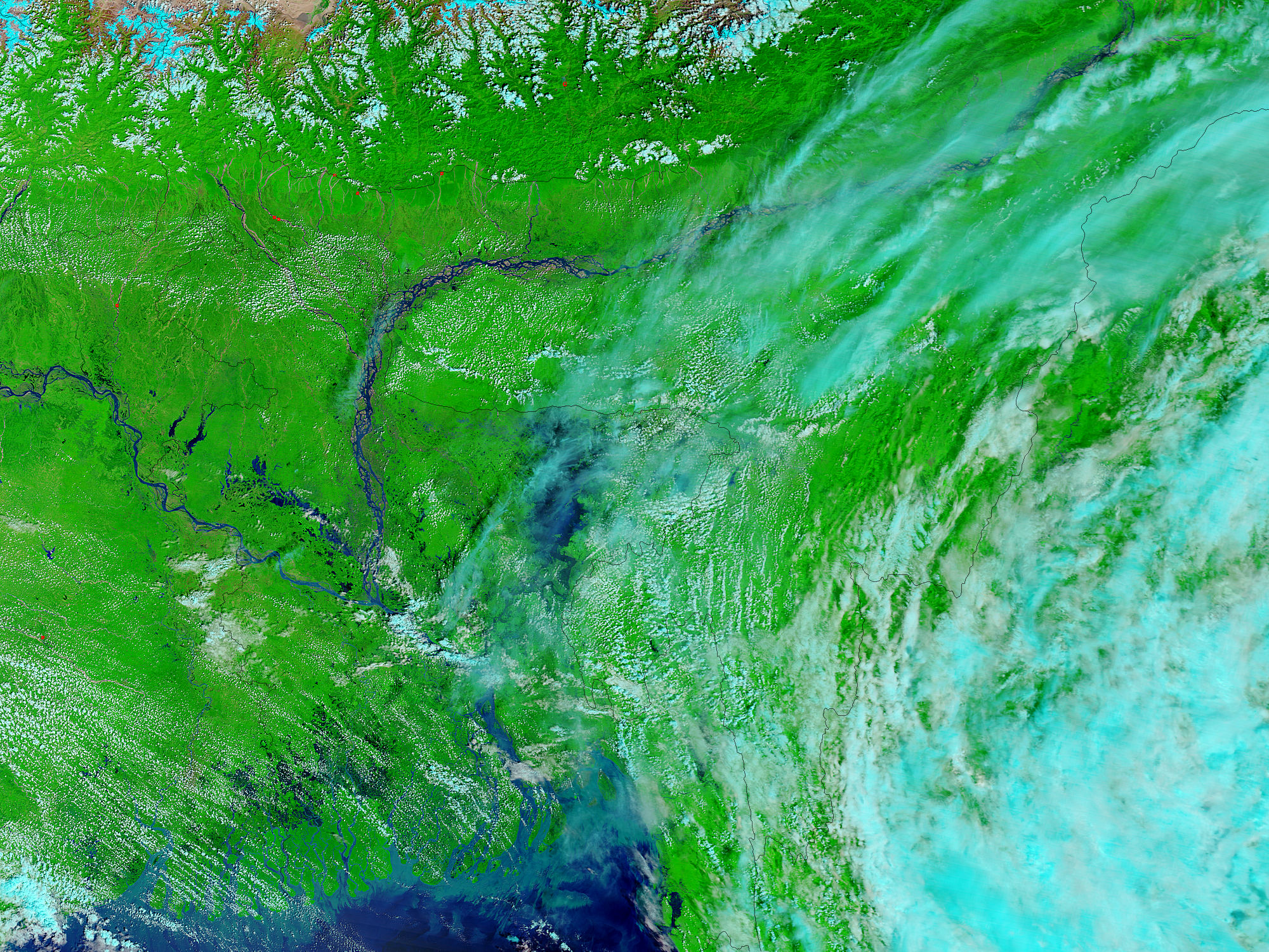
Low-lying Bangladesh floods often. The country is built over the flood plains of three major rivers, the Brahmaputra, Meghna, and Ganges Rivers. The three rivers converge in Bangladesh and empty into the Bay of Bengal through the largest river delta in the world. The flat land within each flood plain is fertile, and the country is densely populated. As a result, floods on any of the three rivers can affect a vast number of people. When all of the rivers run high with monsoon rains and melting snow from the Himalaya Mountains (the source of the rivers), much of Bangladesh can be under water. See Asian Monsoons from the American Museum of Natural History to learn more.
Daily images of Bangladesh are available from the MODIS Rapid Response System.
NASA images courtesy the MODIS Rapid Response Team at NASA GSFC.


