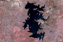
The Bafing River travels through Guinea and Mali, and eventually joins with the Senegal River in western Africa. In the 1970s, drought struck the region, prompting a multinational effort to develop irrigation and power generation.
Published Dec 28, 2008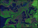
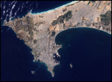
From space station altitude, astronauts can see several different climate zones in a single view.
Published Apr 21, 2019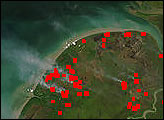
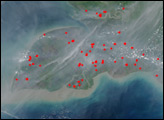
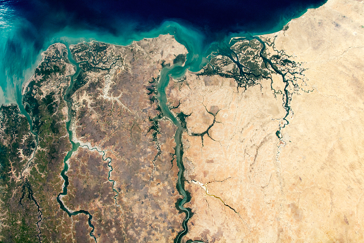
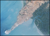
The smallest country in mainland Africa hugs its namesake river.
Published Sep 27, 2020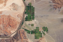
Acquired February 17, 2010, this true-color image shows emerald-green irrigated fields along the Orange River, which separates Namibia from the Republic of South Africa.
Published Mar 7, 2010
In western Africa, just south of the Sahara Desert, lies the landlocked nation of Burkina Faso. The nation experienced a 200 percent increase in urban population between 1975 and 2000. Much of that growth occurred in the capital city of Ouagadougou: Between 1960 and 1993, Ouagadougou experienced a 14-fold increase in area.
Published Jun 29, 2008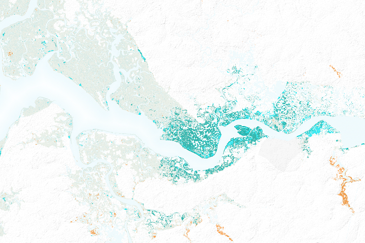
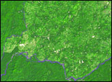
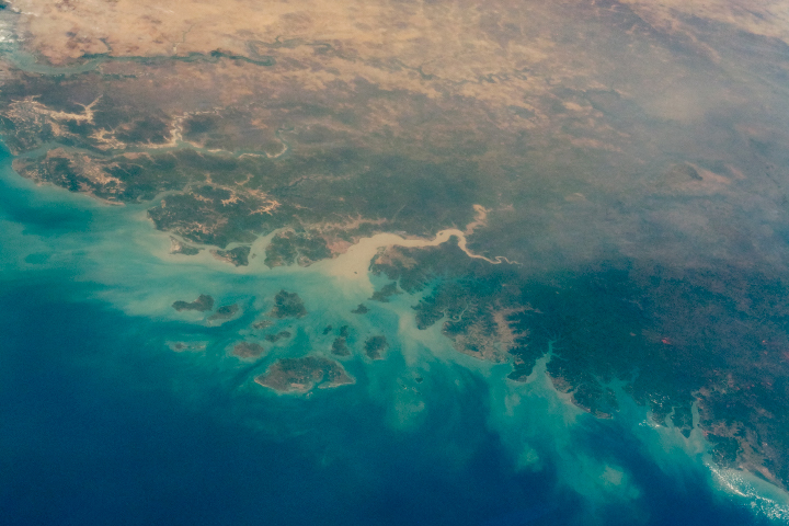
After decades of decline, satellites show mangrove forests are covering more area and growing more densely in this West African country.
Published Mar 21, 2018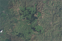
Gishwati Forest suffered severe deforestation, evident in these true-color images.
Published Jun 9, 2009