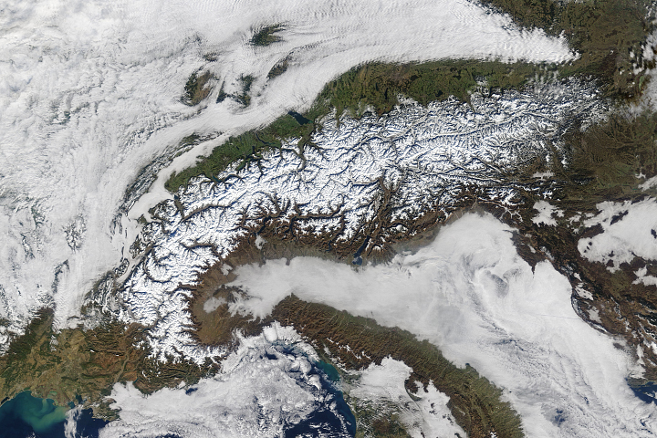
Satellite sensors help distinguish snow and ice from clouds and fog.
Published Feb 1, 2018Image of the Day Atmosphere Land Unique Imagery Snow and Ice Remote Sensing
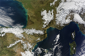
In February 2015, snow blanketed mountain ranges in southwestern Europe.
Published Feb 11, 2015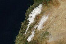
Fresh snow highlights Lebanon’s two mountain ranges in this true-color image from March 17, 2011.
Published Mar 25, 2011

This satellite map of snow cover shows that every state in the contiguous U.S., except for Florida, received snow in January 2011.
Published Feb 25, 2011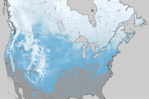
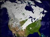
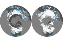
What a difference one year has made in the snow cover over North America.
Published Mar 30, 2012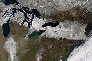
A spring storm dumped several inches of snow across the Upper Midwest and Northeast.
Published Apr 6, 2016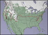
This pair of maps shows average percent snow cover in December 2008 and February 2009, the first and last months of meteorological winter in the Northern Hemisphere.
Published Mar 6, 2009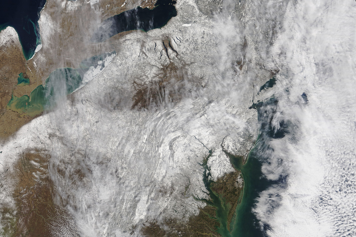
A blanket of snow imparted a wintery appearance to the eastern United States for the first few days of spring 2018.
Published Mar 23, 2018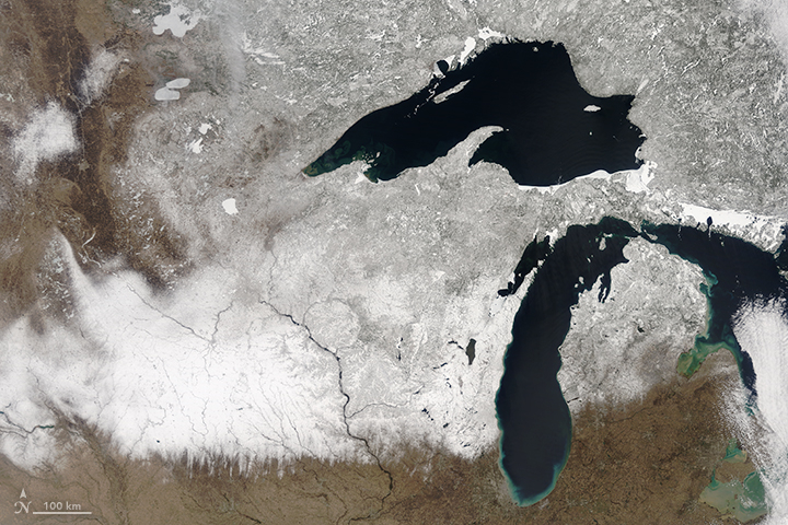
An April storm dropped record amounts of snow in some Midwest cities.
Published Apr 20, 2018

While Sochi itself appears to be dry, the mountain slopes are ready for the games.
Published Feb 8, 2014