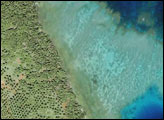
An image of Fiji’s coast shows how modern satellites can help study underwater corals even in the most remote regions.
Published Jul 4, 2015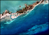
Over just a few decades, this Red Sea settlement has morphed from a small village into a haven for tourists.
Published Jan 15, 2015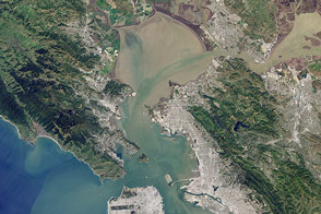
Landsat 8 can observe wavelengths of blue light that will make it easier to observe the swirl of life and water along the world’s coastlines.
Published May 31, 2013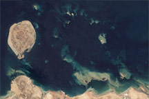
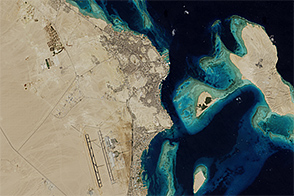
Coral reefs fringe the shoreline and islands of the United Arab Emirates in this Landsat image.
Published May 5, 2009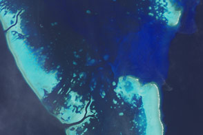
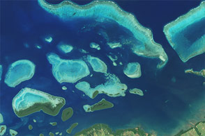
Studying corals from above could help scientists understand how these critical ecosystems will weather a changing climate.
Published Jan 31, 2016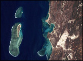

This Red Sea resort town in northern Egypt has dramatically reshaped the coastline.
Published Aug 19, 2015
A composite view of the United States represents one of the ways scientists are exploring Landsat 8’s capabilities.
Published Feb 11, 2014
50 trillion pixels of Landsat data give researchers a lot of opportunities to look at Earth processes on scales from days to decades.
Published Apr 16, 2015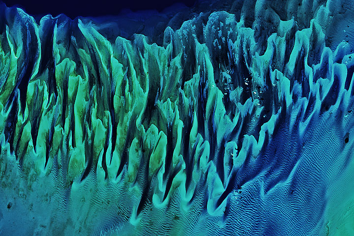
In 2002, Earth Observatory published one of the site’s most popular images: the Great Bahama Bank. Eighteen years later, the science has advanced but the sand has not.
Published May 14, 2020
What does Landsat have in common with the Gutenberg Bible, Tolstoy’s personal library, and the Book of Kells?
Published Nov 24, 2011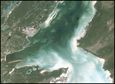
Chetumal Bay lies on the Border between Mexico and Belize. To the east of the bay, Ambergris Cay connects the Belize Barrier Reef to the Yucatan Peninsula. The north of the island is Bacalar Chico Marine Reserve. Here, the barrier reef comes very close to the east side of the island. In 1998, reefs in Belize were hit by two major events that led to heavy coral mortality: El Niño-related coral bleaching and Hurricane Mitch.
Published Oct 28, 2001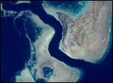

When the Landsat archive is combined with modern computing power, scientists can view the planet not just across space, but also time.
Published Jun 11, 2013Image of the Day Land Unique Imagery Human Presence Remote Sensing