
Using Landsat to track patterns in irrigation may help water managers sketch out a more sustainable future for the Ogallala Aquifer in the central United States.
Published Jul 9, 2018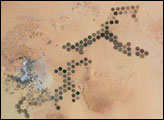
Green circles in the desert frequently indicate tracts of agriculture supported by center-pivot irrigation. The Al Khufrah Oasis in southeastern Libya (near the Egyptian border) is one of Libya’s largest agricultural projects, and is an easy-to-recognize landmark for orbiting astronauts aboard the International Space Station. Because only about 2 percent of Libya’s land receives enough rainfall to be cultivated, this project uses fossil water from a large underground aquifer. The Libyan government also has a plan called the Great Man Made River to pump and transport these groundwater reserves to the coast to support Libya’s growing population and industrial development.
Published Nov 15, 2004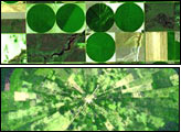
Around the world, agricultural practices have developed as a function of topography, soil type, crop type, annual rainfall, and tradition. This montage of six images from shows differences in field geometry and size in different parts of the world.
Published May 30, 2006
Water from the Kaidu River made it possible to turn part of the Taklamakan Desert into an oasis for agriculture, but it has also disturbed the water table.
Published Aug 18, 2012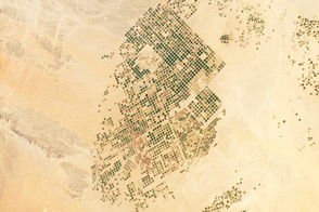
This photograph from the International Space Station presents an almost surreal view of abundant green fields in the midst of a barren desert.
Published Mar 5, 2012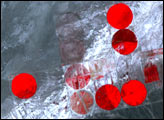
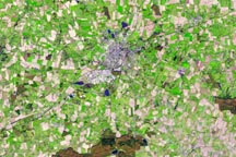
Vestiges of Medieval Brittany mingle with signs of modern civilization in this simulated natural color satellite image of Chateaubriant, France.
Published Mar 10, 2010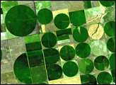
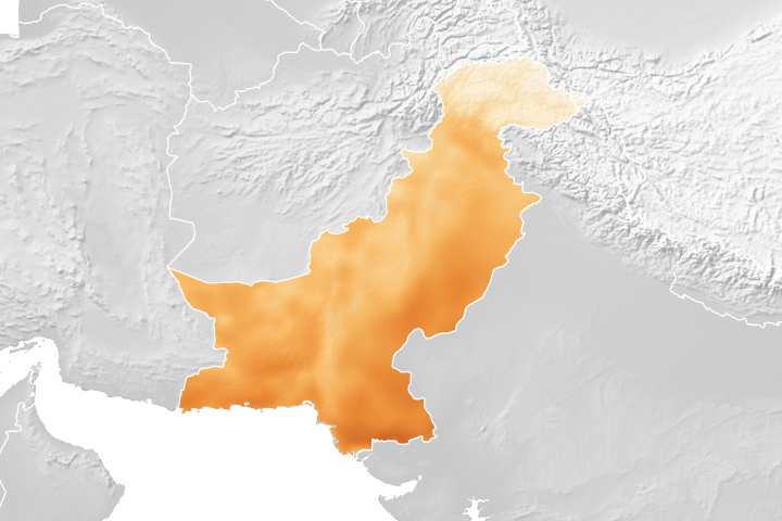
A project using NASA satellite data helps reduce overwatering and enhances crop yields for Pakistani farmers.
Published Oct 18, 2018
For more than 100 years, groups in the western United States have fought over water. During the 1880s, sheep ranchers and cattle ranchers argued over drinking water for their livestock on the high plains. In 1913, the city of Los Angeles began to draw water away from small agricultural communities in Owen Valley, leaving a dusty dry lake bed. In the late 1950s, construction of the Glen Canyon Dam catalyzed the American environmental movement. Today, farmers are fighting fishermen, environmentalists, and Native American tribes over the water in the Upper Klamath River Basin. The Landsat 7 satellite, launched by NASA and operated by the U.S. Geological Survey, documented an extreme drought in the area along the California/Oregon border in the spring of 2001.
Published Sep 8, 2001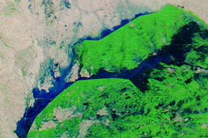
Acquired September 21, 2012, and September 1, 2012, these images compare conditions in farmed fields west of the Indus River in Pakistan. Floods struck the region in September 2012.
Published Sep 22, 2012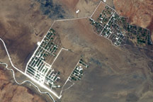
The Shebelle River has its headwaters in the Ethiopian Highlands, and transports water and sediment 1,000 kilometers to the southeast across Ethiopia and into Somalia.
Published Apr 11, 2011