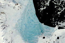
Changing weather conditions left their mark on sea ice along the Antarctic Peninsula in late 2008 and early 2009. In mid-December 2008, melt water resting on the sea ice colored it sky blue. At the beginning of 2009, however, the sea ice appeared snowy white, and cracks had begun along the ice margin.
Published Jan 9, 2009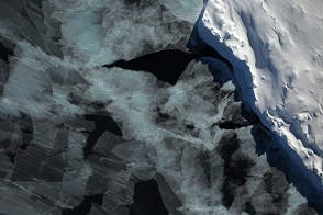
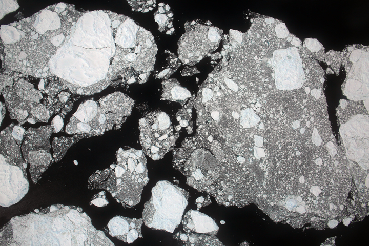
A spectacular view of sea ice was captured during an Operation IceBridge flight in 2014; the mission surveyed ice at both poles again in 2015, this time simultaneously.
Published Oct 4, 2015
New elevation measurements will give researchers an unprecedented understanding of the thickness of sea ice, which will be used to help improve climate modeling and forecasts.
Published Dec 18, 2018
Winds pushed Antarctic sea ice north of its typical location in February 2013.
Published Mar 1, 2013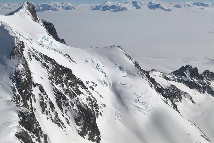
Approaching the icy continent by aircraft, the vast expanse of water and ice is suddenly broken by gray and brown rocky mountaintops
Published Dec 28, 2017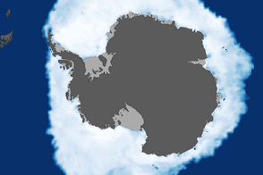
As the Arctic experienced a new record summer minimum for ice extent, the Antarctic set a new record for maximum winter sea ice.
Published Oct 11, 2012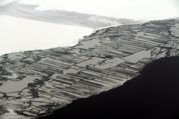
As a result of the collision, blocks of ice slide above and below each other in a pattern that resembles a zipper or interlocking fingers.
Published Nov 22, 2017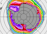
Areas of new sea ice are visible in the vicinity of the Larsen C ice shelf off the Antarctic Peninsula.
Published Jan 2, 2018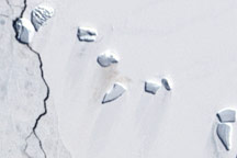
A guano stain betrays the location of an emperor penguin colony on Antarctic ice in this Landsat image from December 4, 2002.
Published Jun 5, 2009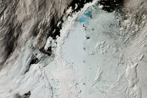
The northernmost arm of Antarctica is a hotspot of research because its retreating glaciers are a large contributor to sea level rise.
Published Feb 24, 2017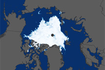
These satellite-based maps show sea ice concentration in the Arctic and Antarctic during September 2008 and February 2009, the months of the sea ice maximums and minimums in the respective hemispheres.
Published Apr 21, 2009
The 2014 arctic sea ice minimum is the sixth lowest on record, while antarctic sea ice continues to exceed the record maximum extent.
Published Sep 24, 2014
Due to accelerated Arctic losses, Earth has been shedding sea ice since 1979 at an annual rate of 35,000 square kilometers (13,500 square miles).
Published Feb 11, 2015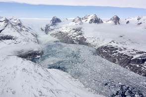
NASA aircraft return to the Arctic to assess the health of the region’s ice.
Published May 3, 2012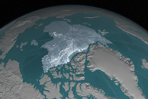
In 1984, there were 1.86 million square kilometers of old ice spread across the Arctic at its yearly minimum extent. In September 2016, there were only 110,000 square kilometers of old ice left.
Published Nov 4, 2016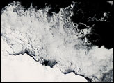
On February 24, 2008—late summer in the Southern Hemisphere—the Moderate Resolution Imaging Spectroradiometer (MODIS) on NASA’s Aqua satellite captured this image of lingering sea ice in the Southern Ocean.
Published Feb 28, 2008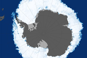
In 2015, the annual maximum extent of Antarctic sea ice dropped below previous consecutive years of record highs.
Published Oct 18, 2015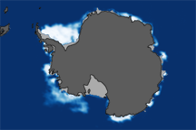
This pair of images shows Antarctic sea ice concentrations at the 2008 winter maximum and the 2009 summer minimum compared to the median ice extent from 1979–2000.
Published May 23, 2009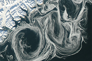
Thin sea ice swirled along the east coast of Greenland in October 2012, against a backdrop of overall thinning sea ice.
Published Oct 27, 2012