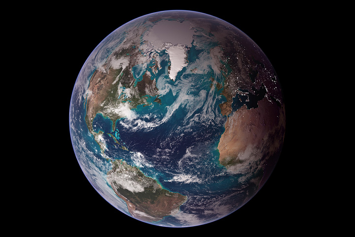
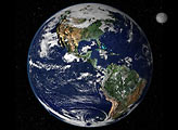
This view of Earth from space is a fusion of science and art, drawing on data from multiple satellite missions and the talents of NASA scientists and graphic artists.
Published Oct 9, 2007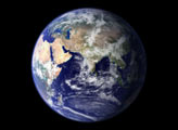
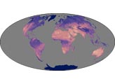
Using a collection of satellite images and data, scientists and visualizers stitched together months of observations of Earth’s land surface, oceans, sea ice, and clouds into a seamless, true-color mosaic.
Published Feb 11, 2002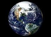
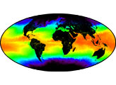
This image of Earth is a composite of the first full day of data gathered by the Moderate Resolution Imaging Spectroradiometer on the Terra spacecraft.
Published Jun 30, 2000
This true-color image shows North and South America as they would appear from 35,000 km (22,000 miles) above the Earth.
Published Oct 17, 2000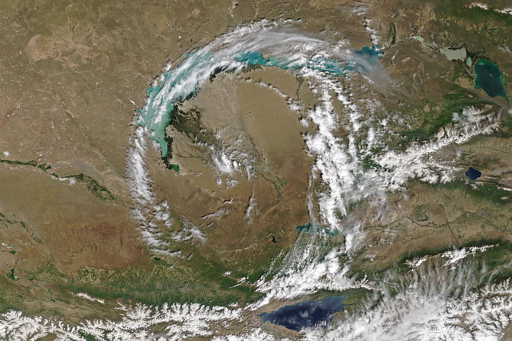
Sometimes the atmosphere churns up peculiar-looking cloud formations that are as notable for aesthetic reasons as they are for scientific ones.
Published May 29, 2018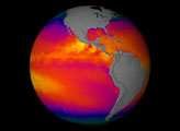
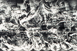
Fifty years ago, NASA launched the first of seven satellites that revolutionized how we study weather, the atmosphere, and other Earth systems.
Published Oct 12, 2014Image of the Day Atmosphere Water Severe Storms Remote Sensing
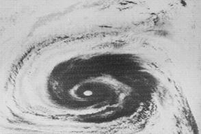
Before there was a Blue Marble photograph or composite image of Earth, there was TIROS IX.
Published Apr 22, 2015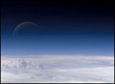
Atmospheric gases scatter blue wavelengths of visible light more than other wavelengths, giving the Earth’s visible edge a blue halo. At higher and higher altitudes, the atmosphere becomes so thin that it essentially ceases to exist. Gradually, the atmospheric halo fades into the blackness of space. This astronaut photograph captured on July 20, 2006, shows a nearly translucent moon emerging from behind the halo.
Published Feb 2, 2007