A mix of uplifting salt and other sedimentary and metamorphic rocks make for colorful landscapes in the Persian Gulf.
Published Oct 26, 2020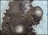
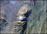
The Zagros Mountains in southwestern Iran present an impressive landscape of long linear ridges and valleys. Formed by collision of the Eurasian and Arabian tectonic plates, the ridges and valleys extend hundreds of kilometers. Stresses induced in the Earth’s crust by the collision caused extensive folding of the preexisting layered sedimentary rocks. Subsequent erosion removed softer rocks, such as mudstone and siltstone while leaving harder rocks, such as limestone and dolomite. This differential erosion formed the linear ridges of the Zagros Mountains. This astronaut photograph of the southwestern edge of the Zagros mountain belt includes another common feature of the region—a salt dome (Kuh-e-Namak or “mountain of salt” in Farsi).
Published Apr 17, 2006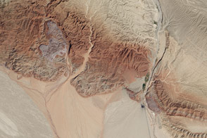
In this active tectonic environment, salt squeezes through faults in the rock until it reaches the surface and flows like a glacier.
Published Oct 25, 2015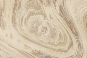
The rocks of Dasht-e Kavir tell tales of a much wetter environment millions of years ago.
Published Feb 17, 2013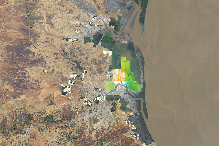
The west-central state of Gujarat accounts for nearly three-quarters of India’s annual salt production.
Published Oct 21, 2019
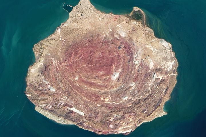
Southeastern Iran is home to numerous salt domes and salt glaciers, which have been built over time by the movement of Earth’s crust.
Published Nov 13, 2017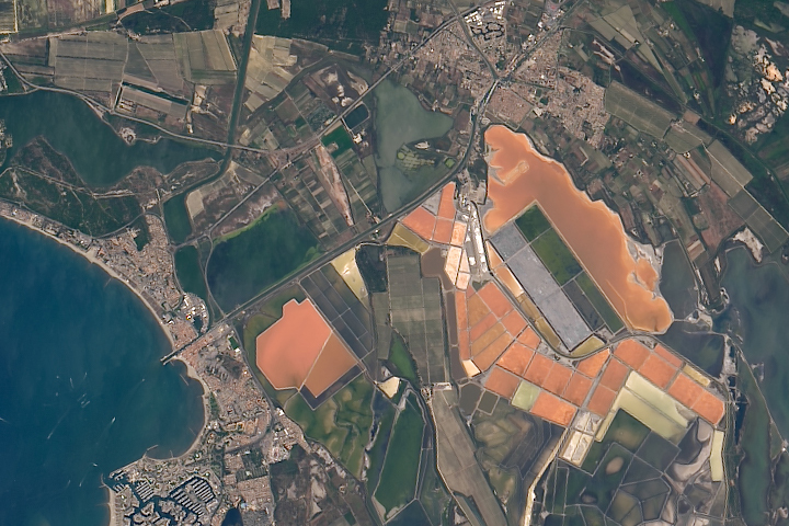
The salt produced from tidal marshes in southern France is the product of ideal climate conditions and careful management.
Published Apr 4, 2019
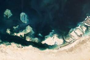
The United Arab Emirates coast is home to complex assortment of natural features.
Published Apr 13, 2013
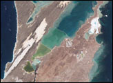
Colorful, mineral-rich salt flats are nestled between the Promontory Mountains and the Great Salt Lake.
Published Oct 4, 2020
This natural-color image shows Henrietta Island, with a smooth, dome-capped surface and a rugged coastline, illuminated by low-angled sunlight.
Published May 3, 2009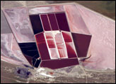
This detailed astronaut photograph shows the salt ponds of one of Africa’s major producers of soda ash (sodium carbonate) and salt. Soda ash is used for making glass, in metallurgy, in the detergent industry, and in chemical manufacture. The image shows a small part of the great salt flats of central Botswana known as the Makgadikgadi Salt Pans.
Published May 13, 2007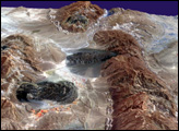

The ghostly white shapes northeast and immediately southwest of Wrangel Island are sea ice. Over the course of the satellite record, Arctic sea ice has advanced and retreated past Wrangel Island many times. From 1979 to 2000, the sea ice edge at the end of summer generally fell somewhere in the vicinity of Wrangel Island, but this is not the first summer when the sea ice edge has retreated well north of the island.
Published Aug 29, 2008