As the destructive California fire nears full containment, it has left behind an expanse of charred land.
Published Nov 19, 2018
A wildfire in Fresno County, California has burned more than 28,000 acres.
Published Jul 20, 2020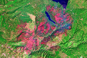
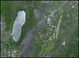
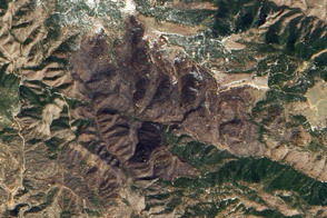
One of a number of large wildfires that have affected northern California in 2012, the Chips fire burned more than 75,000 acres by the time firefighters had contained it.
Published Sep 5, 2012
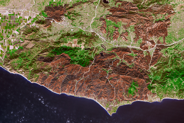
The Thomas fire has set new records while ravaging several communities.
Published Dec 24, 2017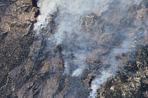
This false-color image illustrates the extent of the Station Fire in southern California.
Published Sep 15, 2009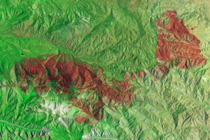
Little heat remained, but the California fire left behind a burn scar spanning almost 50 square miles.
Published Jul 7, 2015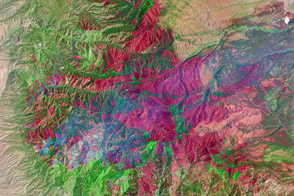
The Whitewater-Baldy Fire is the largest on record in New Mexico.
Published Jun 14, 2012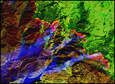
The Lower North Fork Fire burned 4,140 square acres.
Published Apr 10, 2012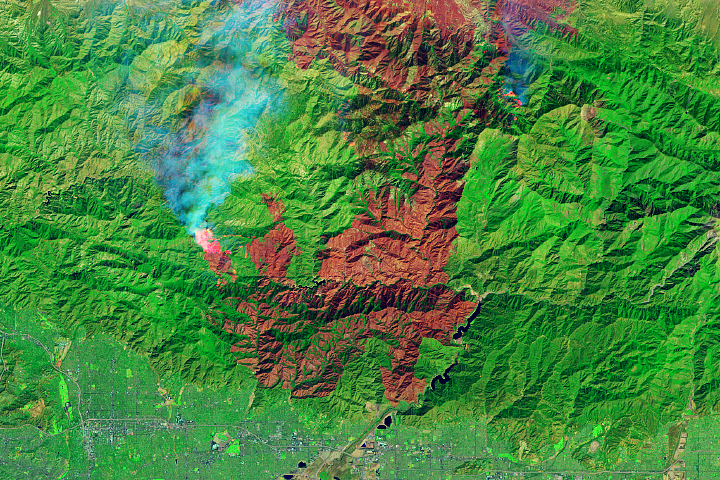
The fire is among the largest Los Angeles County has ever faced.
Published Sep 23, 2020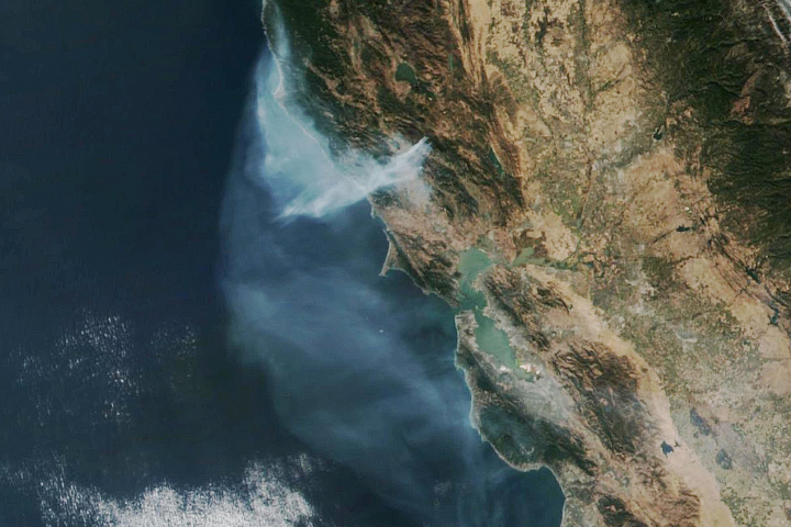
The eastern part of the fire was active overnight, expanding the burned area to 76,000 acres.
Published Oct 30, 2019
In August 2013, the Silver Fire burned 20,000 acres near Banning, California.
Published Aug 14, 2013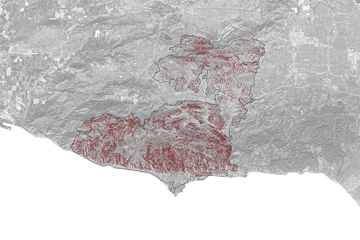
A NASA project is providing maps of satellite data to emergency response teams during the Woolsey Fire.
Published Nov 16, 2018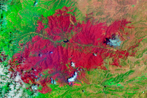
The EO-1 satellite observed the burn scar from the Little Bear Fire.
Published Jun 14, 2012