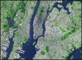
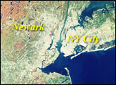
This false-color satellite image shows greater New York City. The Island of Manhattan is bordered by the Hudson River to the west and the East River to the east. In the middle of Manhattan, Central Park appears as a long green rectangle running roughly north-south with a large lake in the middle. Also visible are parts of Staten Island and Long Island.
Published Aug 4, 2003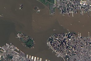
These images from September 12, 2011, and September 2, 2010, compare conditions in the Hudson River near Ellis Island. In the wake of storms, sediment filled the river in 2011.
Published Sep 13, 2011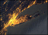
Bright city lights along the coastline and interior delineate the eastern coast of the United States at night.
Published Apr 13, 2003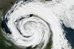
Extratropical storms are fueled by interactions between warm and cold air masses.
Published Aug 12, 2016
Typhoon Haiyan’s winds and storm surge caused widespread damage to the coastal city.
Published Nov 20, 2013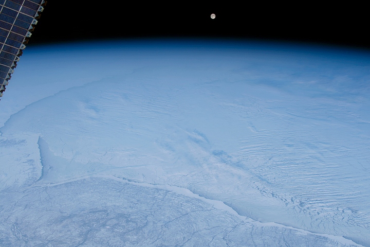
The winter scene includes icy shorelines and frozen landscapes around Hudson Bay under thin, wrinkled clouds.
Published Dec 30, 2019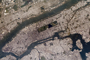
The most populous city in the United States has several connections to this national holiday.
Published Nov 28, 2013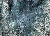
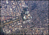
George Washington not only served as the namesake for the capital city of the United States, he also chose its location, perhaps envisioning the transportation possibilities that the Potomac River flowing past the site would provide. Recognizable in this image are the Capitol Building, the Washington Monument (and its shadow), and the Lincoln Memorial, along the northeast bank of the Potomac River.
Published May 22, 2006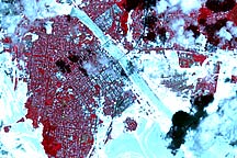
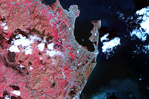
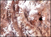
Acquired January 5, 2011, this false-color image shows flooding along the Fitzroy River, around the city of Rockhampton, Queensland.
Published Jan 5, 2011