Free, open-access imagery helps scientists monitor remote areas and protect tropical forests.
Published Nov 19, 2013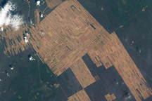
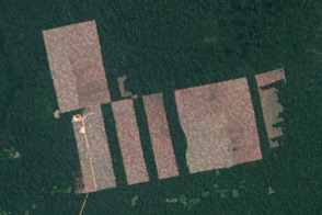
This photograph shows deforestation and agricultural development along Rio Parapetí in Bolivia between 1995 and 2008.
Published Dec 22, 2008
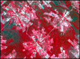
The colors of the agricultural fields surrounding Paris are striking in thespringtime, even when viewed from a 400-kilometer orbital altitude, as seen in this photography taken by astronauts on board the International Space Station.
Published May 12, 2002
50 trillion pixels of Landsat data give researchers a lot of opportunities to look at Earth processes on scales from days to decades.
Published Apr 16, 2015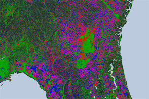
Open-access data from the NASA-USGS Landsat mission and cloud computing make for a highly detailed view of gains and losses in global and regional tree cover since 2000.
Published Nov 16, 2013
When the Landsat archive is combined with modern computing power, scientists can view the planet not just across space, but also time.
Published Jun 11, 2013Image of the Day Land Unique Imagery Human Presence Remote Sensing
Earth science satellites are designed to study our home planet’s surface and atmosphere, but occasionally they capture views of other objects in low-Earth orbit such as satellites, the International Space Station, and rocket debris.
Published Jun 29, 2016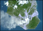
An Earth Observatory reader used widely available software to correct the oblique perspective of an earlier photograph of Montserrat and to adjust the color. The story of how he modified the image includes step-by-step instructions that can be applied to other photographs.
Published Mar 27, 2002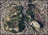
This high-resolution photograph taken by astronauts on board the International Space Station shows details of Athens’ historic ruins. The detail panel shows actual pixels for the area of the Acropolis—some of the most distinctive features are the Parthenon, and Odeum of Herodes Atticus.
Published Dec 22, 2002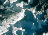
Mt. Everest is the highest (29,035 feet, 8850 meters) mountain in the world. This detailed look at Mt. Everest and Lhotse is part of a more extensive photograph of the central Himalaya taken in October 1993 that is one of the best views of the mountain captured by astronauts to date.
Published Feb 4, 2001
What does Landsat have in common with the Gutenberg Bible, Tolstoy’s personal library, and the Book of Kells?
Published Nov 24, 2011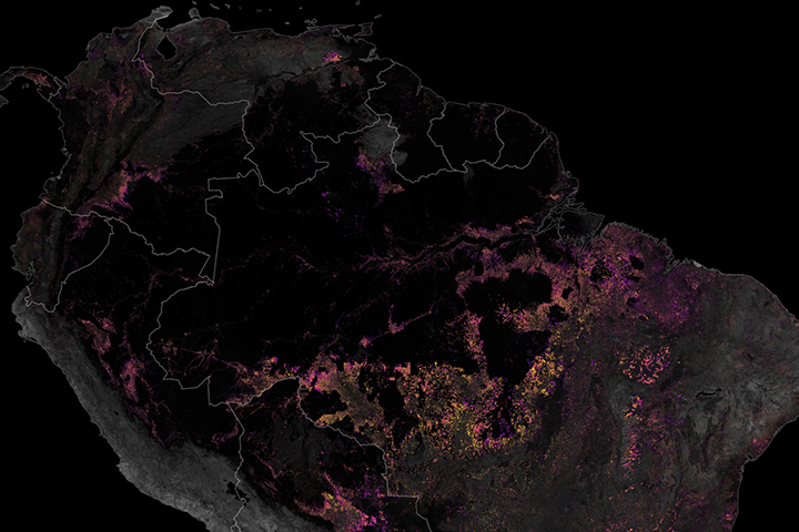
Satellites have played a key role in monitoring and reducing the rate of deforestation in the rainforest.
Published Dec 19, 2019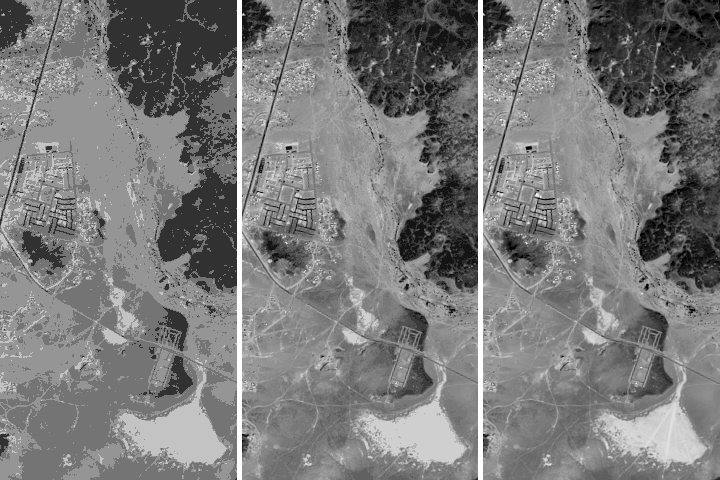
Being able to see traces of human history in satellite imagery is dependent on what details can be resolved on a given image. There are four main types of image resolution.
Published Oct 4, 2017
The opening of the Landsat data archive and a partnership with Google has allowed researchers to track the fine details of forest change around the world.
Published May 7, 2015
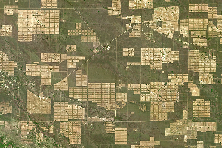
Roughly 20 percent of Gran Chaco’s forest has been converted into farmland or grazing land since 1985.
Published May 1, 2018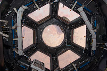
Primarily designed to give astronauts a way to see the outside of the ISS, it also provides stunning panoramic views of Earth and space.
Published Feb 20, 2010