With so much of its water diverted, the Colorado River Delta has dried out and lost much of its vegetation and wildlife.
Published Jun 18, 2020
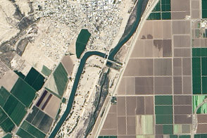
With nearly all of the Colorado River’s water diverted for human uses, its delta has withered. A plan to release some water from dams and reservoirs this spring offers hope for a greener future.
Published Mar 22, 2014
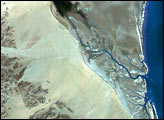
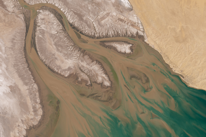
The Colorado River is the largest watershed in the southwestern US, emptying into the Salton Trough before reaching the Sea of Cortez. Over the past 2-3 million years, river sediments built a delta that extends from the US-Mexico border for a distance of 87 miles (140 kilometers). However, today the Colorado River delta is undergoing significant erosion and diminishing in size due to the lack of sediment replenishment from upstream sources.
Published Jun 28, 2004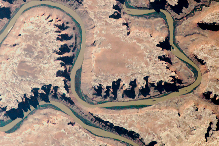
The old river has cut compelling patterns and formations into the red rocks of Utah.
Published Sep 18, 2018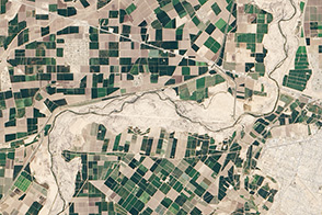
A one-time pulse of water is bringing a burst of new life to the lower Colorado River.
Published May 1, 2014
A satellite image offers inky evidence of the organic-rich freshwater that the Suwannee River delivers to the Gulf of Mexico.
Published Oct 27, 2018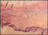
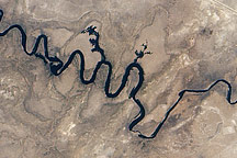
he largest tributary of the Colorado River between Lake Powell and the Grand Canyon, the Paria River flows southeast from its headwaters in southernmost Utah to join the Colorado River between Page, Arizona, and Marble Canyon. The Paria River provides spectacular scenery, and is known for the very narrow “slot” canyons that it cuts through the layered rocks of the Colorado Plateau.
Published Jun 23, 2008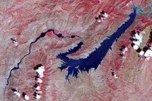
This false-color image shows the central part of the Vakhsh River, including the Nurek Dam and reservoir.
Published Nov 25, 2008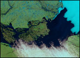
In September 2010, water again flowed through this riverbed after several dry years.
Published Oct 8, 2010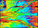
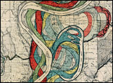

Man and nature have both altered the course of a southwestern U.S. river.
Published May 21, 2012