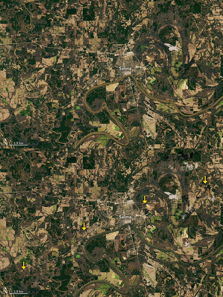


On January 12, 2023, strong to severe thunderstorms swept across the U.S. Southeast, from Mississippi to Georgia, spawning numerous tornadoes. Central Alabama was particularly hard hit, where destructive storms destroyed homes and caused widespread power outages.
One of the twisters touched down in Dallas County, Alabama, as a strong EF2 tornado. According to the National Weather Service (NWS), this storm tore across the landscape for almost 23 miles (37 kilometers) with wind speeds that peaked at 130 miles per hour. It tracked northeast from near Orrville, continued through downtown Selma, and ended near Burnsville.
The tornado’s path of damage becomes apparent in this animation, which alternates between satellite images captured before and after the storm. The first image was acquired on January 6, 2023, with the Operational Land Imager-2 (OLI-2) on Landsat 9. The post-storm image was acquired on January 14, 2023, with the OLI on Landsat 8.
The visualization above highlights the location of tornado tracks in one of several areas in Alabama damaged by tornadoes on January 12, including Selma. Red areas are where there were larger differences between the two satellite images. Most of these differences are found along the tornado tracks, where trees were uprooted, and vegetation and structures were damaged.
The track across the left-middle of the image is from the EF2 event that passed through Selma. The track toward the top-right is the beginning of a stronger and longer tornado. This deadly EF3 event tracked northeast for almost 77 miles (124 kilometers) with wind speeds that peaked at 150 miles per hour. It snapped trees, flipped cars, and destroyed numerous homes.
NASA Earth Observatory images by Joshua Stevens, using Landsat data from the U.S. Geological Survey. Story by Kathryn Hansen.