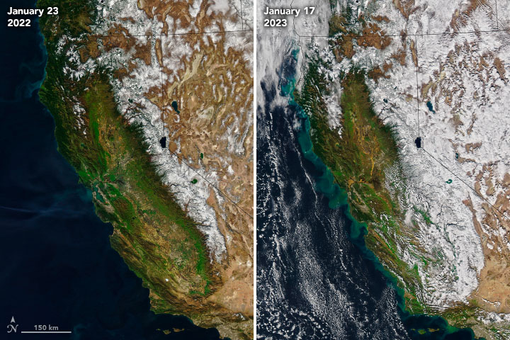
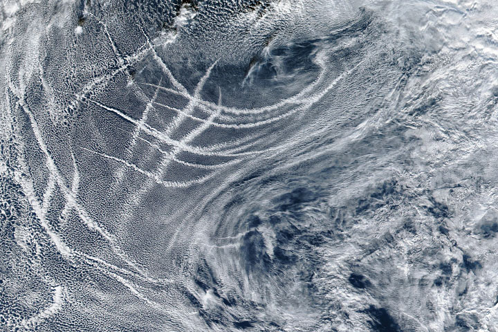
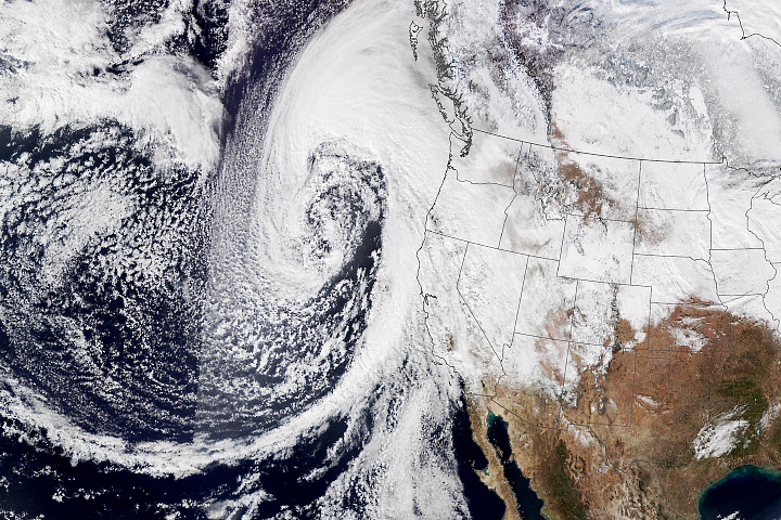
The end is in sight for the siege of atmospheric rivers hitting California in recent weeks. According to forecasters, dry weather was expected to arrive late in the week of January 16, 2023, ending one of the wettest periods in the Bay Area in 160 years. December 26, 2022, through January 16, 2023, was the wettest 22-day period in the San Francisco area since 1862, according to the National Weather Service. Virtually all of the state received rainfall totals of more than 350 percent above average in the first half of January 2023.
Rain and snow from the recent atmospheric rivers contributed to a hefty snowpack in the Sierras and higher water levels in many of the state’s water reservoirs. However, not all of the water that fell stuck around. When soils become saturated, water can’t infiltrate below the surface and runs off into nearby waterways, sometimes taking soil with it.
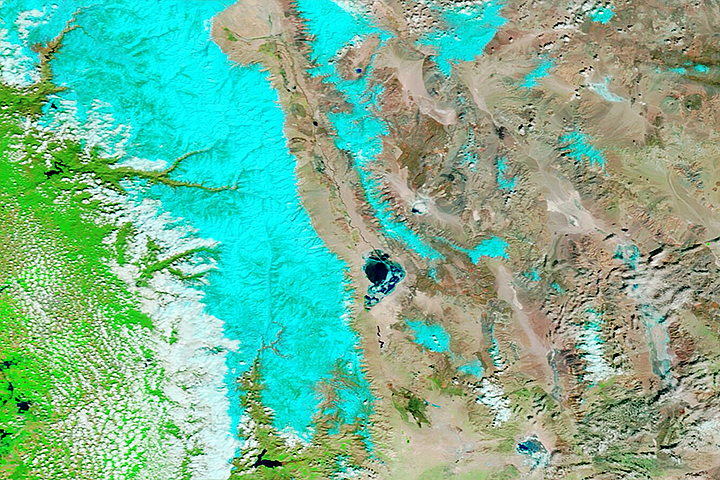
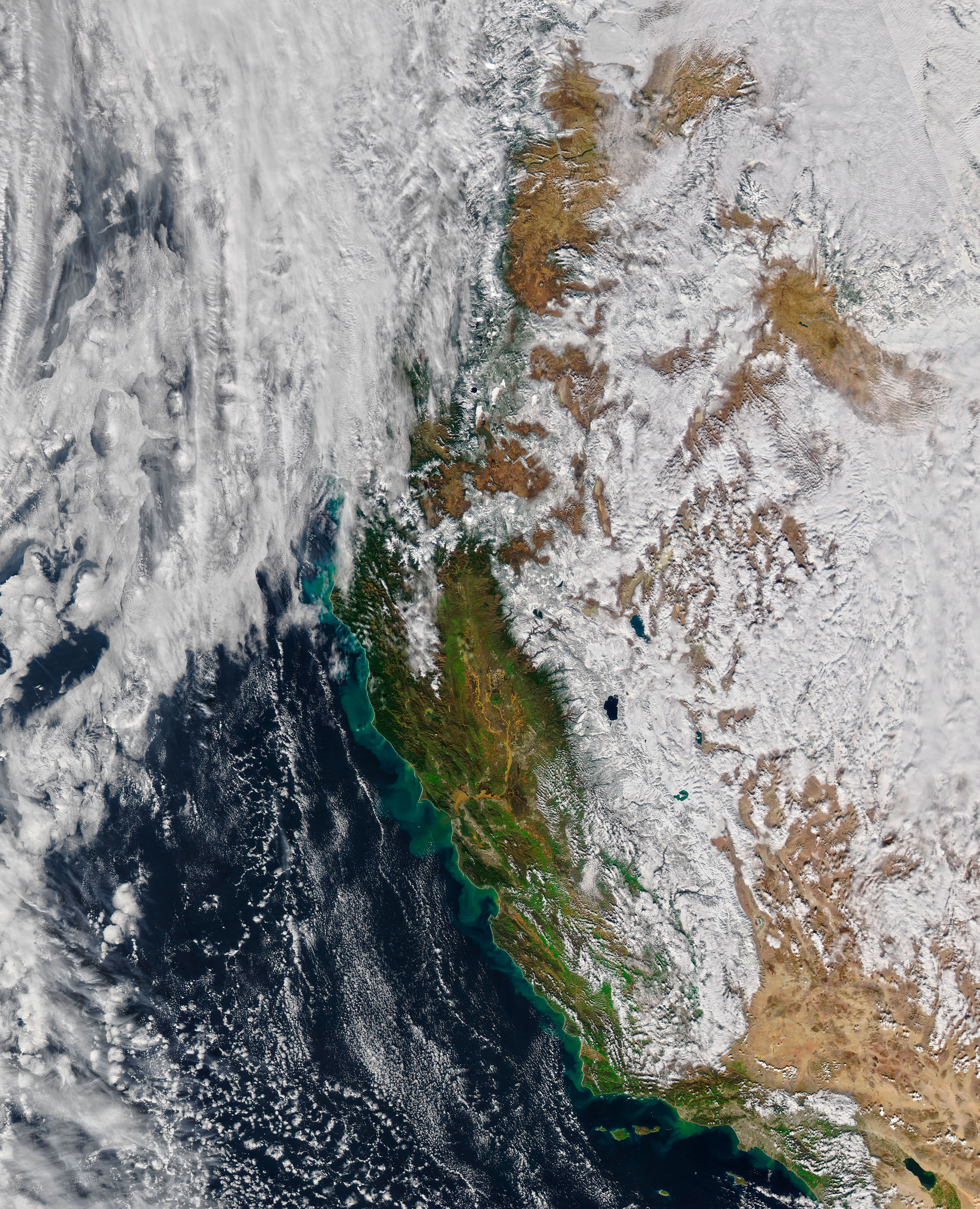
The image on the right shows swirls of sediment off the coast of California on January 17, 2023, compared to more typical conditions on January 23, 2022 (left). The natural-color images were acquired by the Moderate Resolution Imaging Spectroradiometer (MODIS) on NASA’s Aqua satellite. Green swirls of sediment can be seen billowing into the Pacific Ocean from the coastline from Oxnard to Eureka.
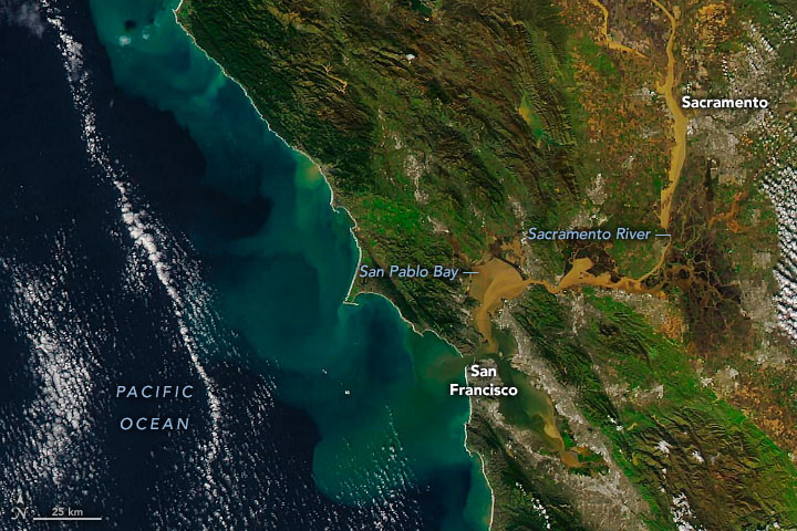
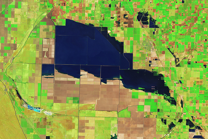
The detailed image shows the Bay Area on January 17, 2023. Tea-colored sediment swirled in San Pablo Bay, fed by the soil-laden waters of the Sacramento and San Joaquin rivers. These rivers are California’s longest and second longest rivers, respectively, and drain much of the Central Valley’s fruit, vegetable, and grain-producing acres.
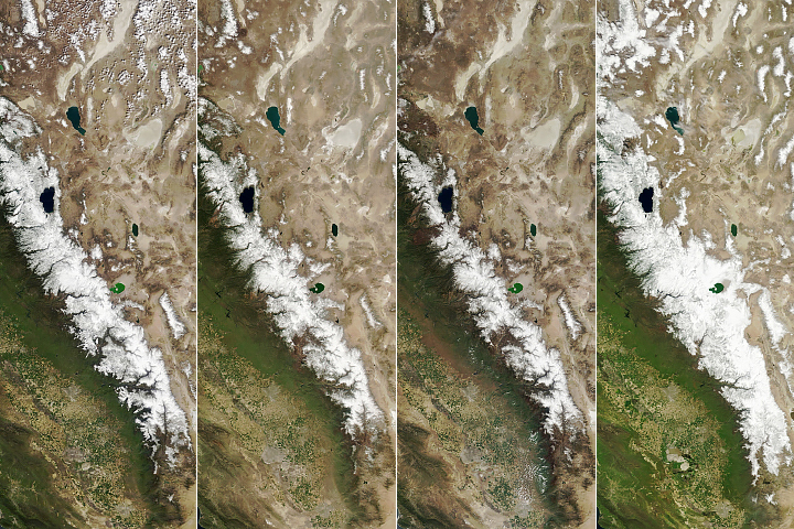
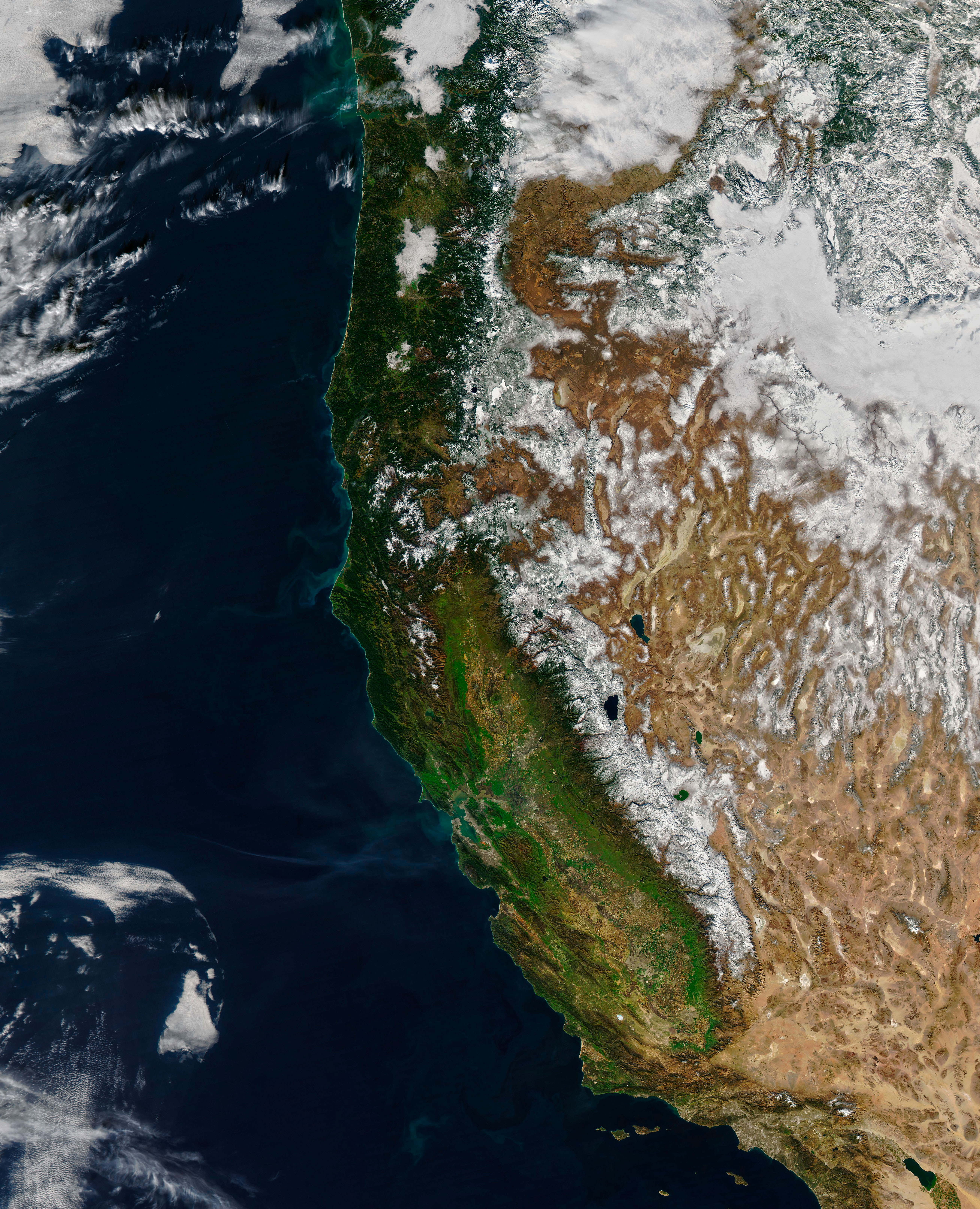
Some of the precipitation, however, did stick around—especially in the mountains where it fell as snow. In the images at the top of this page, notice the difference in snow cover between January 17, 2023, (right) and January 23, 2022 (left). Snow cover along the Sierra Nevada is more extensive in the more recent MODIS image. Mountain snowpack across the state on January 18 was 248 percent of average for that day and 124 percent of average for April 1 (the typical seasonal peak), according to recent snow surveys. Snowpack was especially greater than normal in the southern Sierras, where it was 292 percent of normal for January 18.
NASA Earth Observatory images by Joshua Stevens, using MODIS data from NASA EOSDIS LANCE and GIBS/Worldview. Story by Emily Cassidy.


