The Earth Observatory has published its last Image of the Day on this website. Please join us on our new home at science.nasa.gov/earth/earth-observatory.
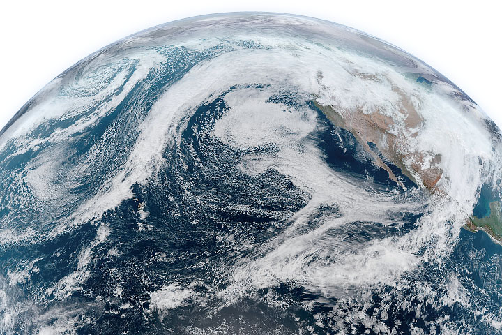
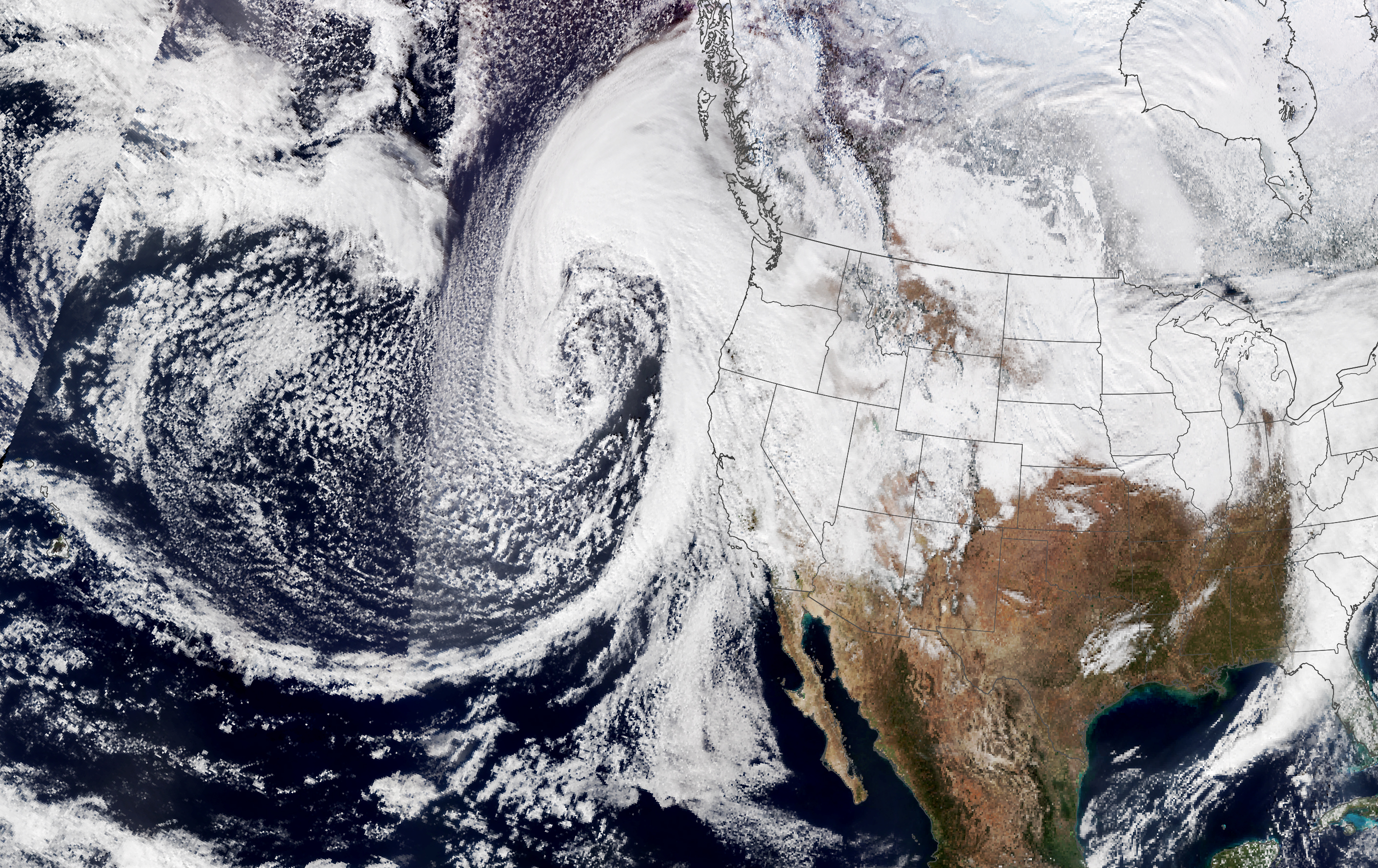
Just four days after heavy rain hit California, the state was drenched with another atmospheric river on January 4 and 5, 2023. A plume of moisture from the tropical Pacific interacted with a low-pressure system that rapidly strengthened over the northeast Pacific, producing a storm that caused flooding, toppled trees, and downed power lines.
According to the National Weather Service, coastal areas of California saw wind speeds of 40 to 80 miles per hour. On the evening of January 4, wind speeds exceeded 100 miles per hour near Lake Tahoe. About 1 to 3 inches of rain fell on communities near Santa Cruz and San Francisco on the evening of January 4, but the storm continued to drop rain on the Bay Area as it moved east on January 5. Some areas south of Big Sur saw 6 to 8 inches of rain in 24 hours.
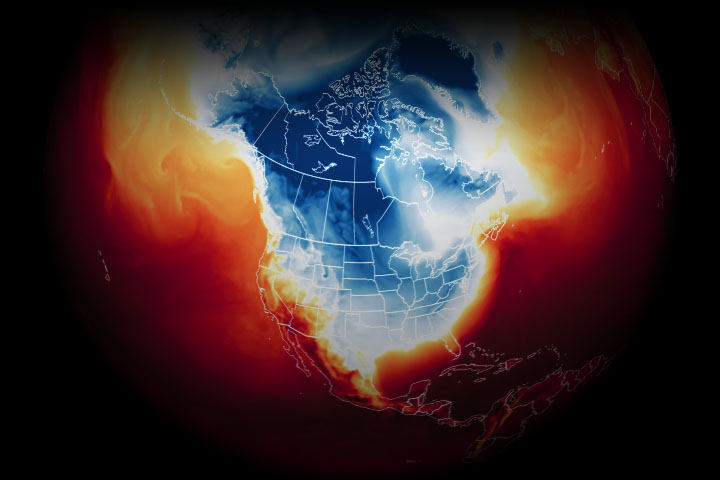
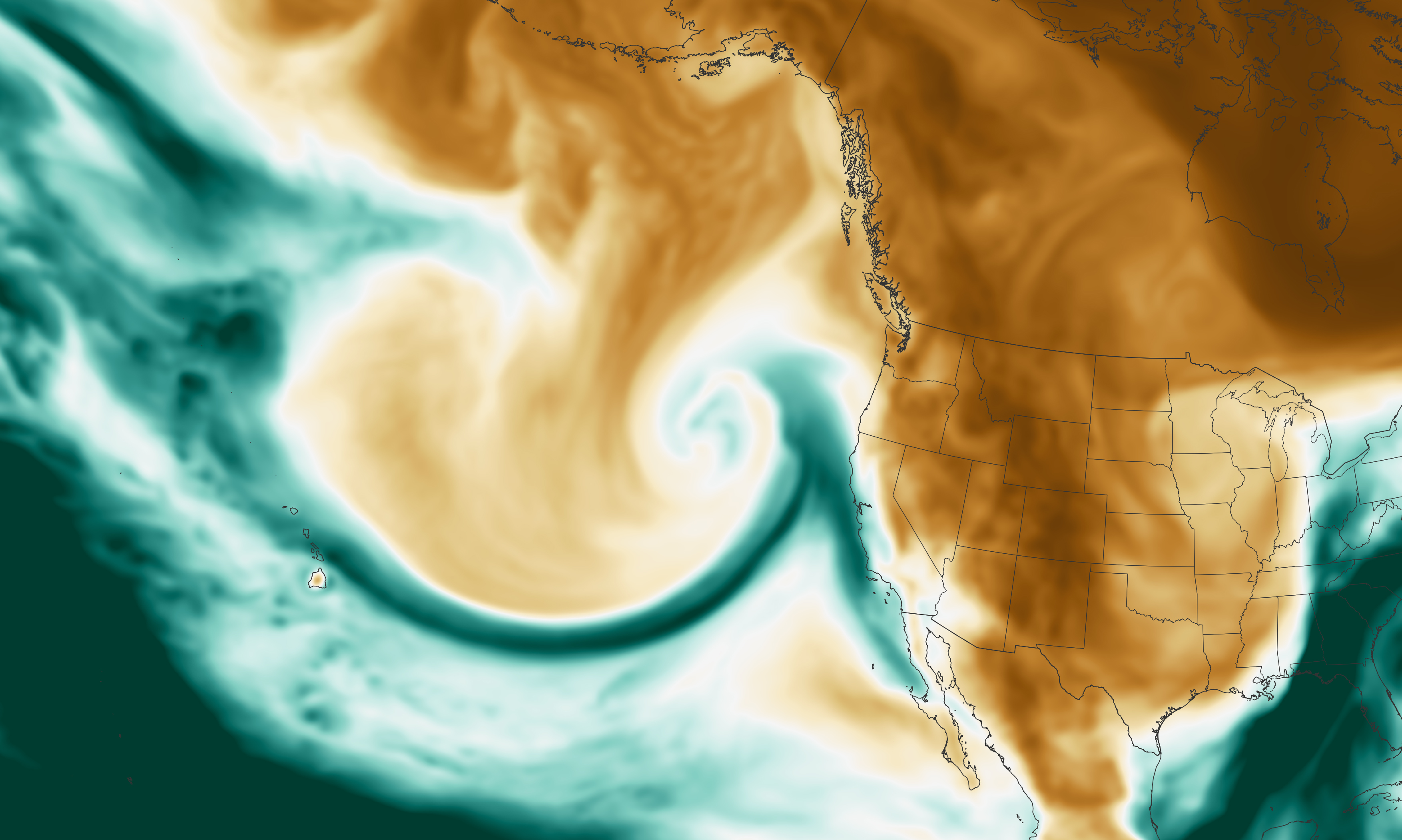
This map shows the total precipitable water vapor in the atmosphere at 5:30 a.m. Pacific Standard Time on January 4, 2023. Precipitable water vapor is the amount of water in a column of the atmosphere if all of the water vapor were condensed into liquid. Dark green areas on the map indicate a narrow band of moisture flowing from the tropical Pacific toward the West Coast, making this atmospheric river an example of a “Pineapple Express.” The image was derived from NASA’s Goddard Earth Observing System, Atmospheric Data Assimilation System (GEOS ADAS), which uses satellite data and models of physical processes to calculate what is happening in the atmosphere.
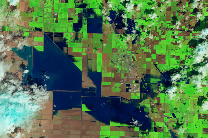
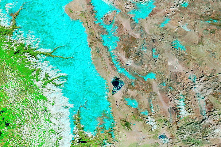
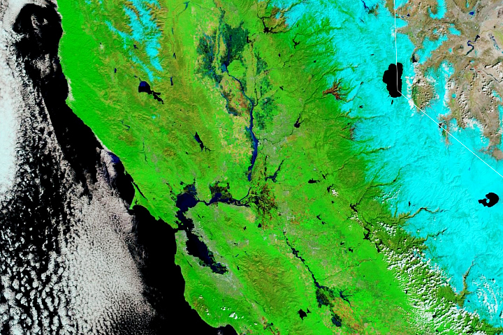
The series of atmospheric rivers drenching California in recent days could be seen as welcome relief to the state’s persistent drought. Atmospheric rivers occur regularly in wintertime, and they account for up to 50 percent of all rain and snow that falls in the western United States. However, the rapid succession of atmospheric rivers leaves communities more susceptible to flooding and could cause landslides.
The image above was acquired on January 4, 2023, at 1:20 p.m. Pacific Standard Time by the Visible Infrared Imaging Radiometer Suite (VIIRS) on the NOAA-20 satellite. It shows the storm as it was intensifying, which contributed to the high wind speeds. When air pressure in a mid-latitude cyclone rapidly drops and winds intensify, these storms can undergo a process meteorologists call bombogenesis. Storms with central pressures that fall an average of least 1 millibar per hour for 24 hours are sometimes called “bomb cyclones.”
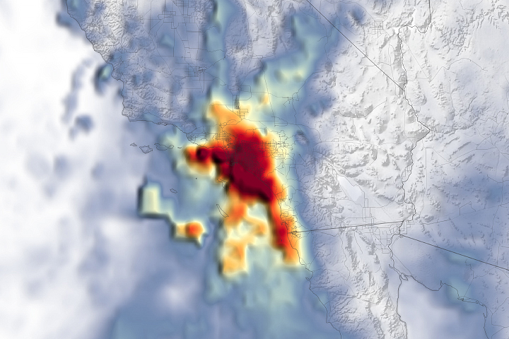
Downed power lines contributed to leaving over 170,000 homes without electricity as of the morning of January 5, according to PowerOutage.us. Most of the outages were seen in coastal counties such as Mendocino, Sonoma, and San Mateo.
Atmospheric rivers are among the most damaging storm types in the middle latitudes, especially with regard to the hazardous wind they produce, according to research led by Duane Waliser at NASA’s Jet Propulsion Laboratory. Waliser and colleagues examined the most destructive windstorms of the last 20 years—the top 2 percent in terms of wind speeds near Earth's surface—and found that atmospheric rivers were associated with up to half of these storms.
As Californians cleaned up from this latest storm system, the National Weather Service’s Weather Prediction Center expected more atmospheric rivers to reach the state on January 7 and 9, 2023.
NASA Earth Observatory images by Lauren Dauphin, using GEOS-5 data from the Global Modeling and Assimilation Office at NASA GSFC and VIIRS data from NASA EOSDIS LANCE, GIBS/Worldview, and the Joint Polar Satellite System (JPSS). Story by Emily Cassidy.