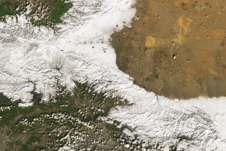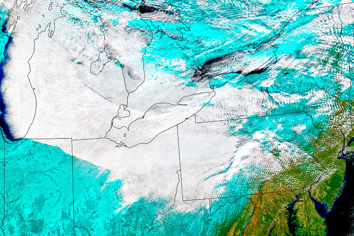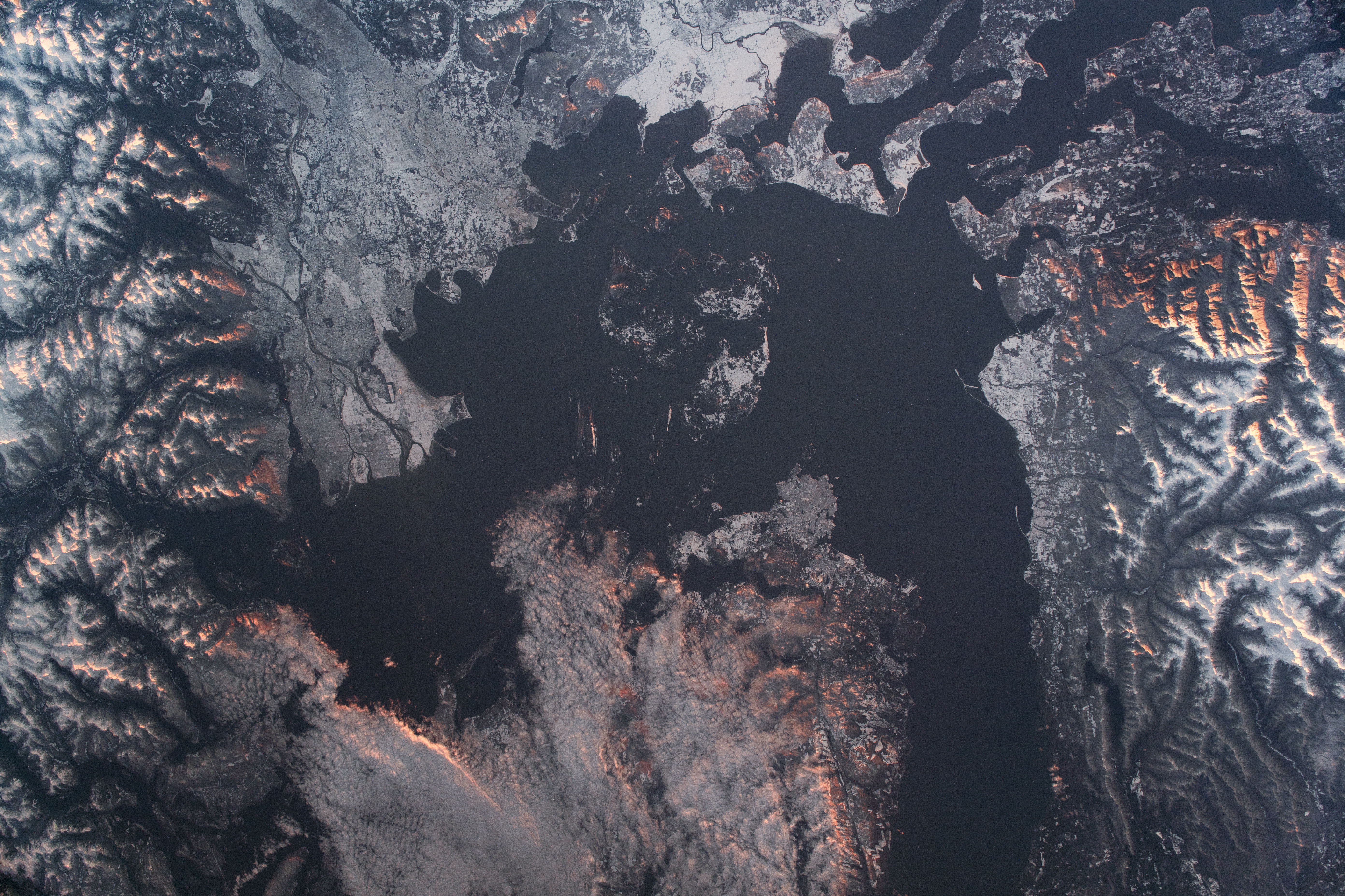
While the people of the Pacific Northwest were waking up to freshly fallen snow, an astronaut photographed this sunrise view of the state of Washington (United States) and the province of British Columbia (Canada). Cities, towns, and islands around the Salish Sea were blanketed in snow. Clouds and mountain peaks were illuminated by the rising Sun’s warm hues.
Winter had officially arrived that week in the Pacific Northwest, with temperatures in some areas dipping to 17° Fahrenheit (-8.3° Celsius) and setting new record lows. The blast of cold and snow followed several rainy fall months.
In the photo, various hues of grey and white provide an outline for the rivers, city grid structures, and coastlines. The Olympic and Coast Mountains bracket the urbanized area, with darker mountain valleys standing out against the snow.
Haro Strait acts as a boundary between Washington’s San Juan Islands and the mostly cloud-covered Vancouver Island of Canada. This major shipping channel connects the Strait of Georgia and Strait of Juan de Fuca, both of which are part of the Salish Sea. Puget Sound leads south to the Seattle area (just out of the frame). These water bodies help support local and international economies by providing trading access for various goods and tourist attractions such as whale watching.
Astronaut photograph ISS066-E-98996 was acquired on December 29, 2021, with a Nikon D5 digital camera using a focal length of 78 millimeters. It is provided by the ISS Crew Earth Observations Facility and the Earth Science and Remote Sensing Unit, Johnson Space Center. The image was taken by a member of the Expedition 66 crew. The image has been cropped and enhanced to improve contrast, and lens artifacts have been removed. The International Space Station Program supports the laboratory as part of the ISS National Lab to help astronauts take pictures of Earth that will be of the greatest value to scientists and the public, and to make those images freely available on the Internet. Additional images taken by astronauts and cosmonauts can be viewed at the NASA/JSC Gateway to Astronaut Photography of Earth. Caption by Sara Schmidt, GeoControl Systems, JETS Contract at NASA-JSC.