

Technology is a wonderful thing until its dark side is appreciated. I have written about plastic in prior blogs. I’ll probably have to write about plastic and the ocean for the rest of my life so more people are aware of the terrible toll that plastic has on marine life and the entire marine ecosystem.
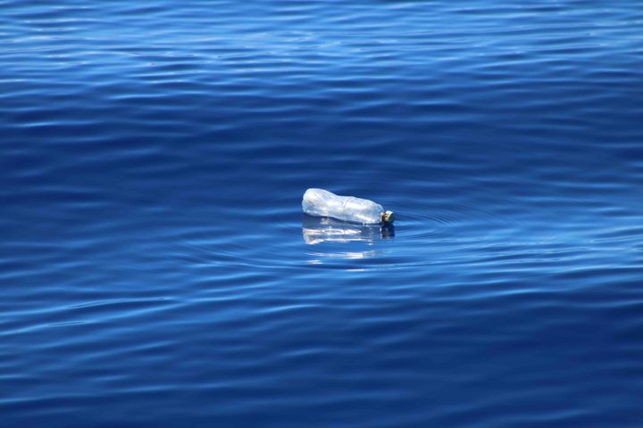
A plastic bottle floating in the open ocean is not a rare scene.
Over the SPURS expeditions (Atlantic and Pacific Oceans) from 2012 to today we have seen much visible plastic in the open ocean. This month on Revelle, people have remarked on how little plastic we have seen. Likely that is just luck, because we know its out there.
As a relatively modern material technology, we humans see plastic, for the most part, as a critical and necessary element of our lives. It’s hard to imagine life without plastic, nor should we.
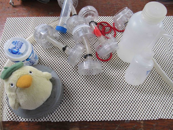
We have lots of plastic items on the Revelle.
We just need to pay more attention to the fate of all our plastic goods. Plastic is ubiquitous and its dark side is that it is a very long-lived substance. For plastic there is no corrosion, dissolving, or biodegrading (thankfully, perhaps, biodegradable plastic is now being invented!). The problem for the ocean is that about 8 million metric tons of plastic are estimated to enter the ocean each year. It is thrown away, washed away, blown away, and generally forgotten as it disappears into the ocean. It is illegal to dump non-biodegradable materials at sea and modern ships follow these international guidelines. The primary source of plastic in the ocean is not dumping at sea but plastic escaping from the land. We have the ways and means to control our plastic destiny if only we could control its disposal at the source!
Recent calculations project that by 2050 there be more plastic in the ocean than fish. Wherever you look, the facts about plastic in the ocean are alarming. The emerging science continues to raise new concerns. Are plastics changing the microbial ecosystem of the ocean? Is there any life form in the ocean that will not be impacted by plastic?
Much of the news one hears about plastic in the ocean relates to “garbage patches” near the center of all the ocean subtropical gyres. This is where surface circulation converges and floating material can accumulate. We can easily imagine what makes up these patches – it is the same material that washes up on islands and coasts worldwide – plastic bags, water bottles, fishing gear, styrofoam, and the detritus of modern life. One imagines the worst – growing islands of plastic debris – for example the well-known “Pacific Garbage Patch” between California and Hawaii. Sadly, there also “waves” of additional debris from tsunamis. Events in the Indian Ocean in 2004 and Japan in 2011 injected enormous amounts of coastal civilization into the ocean.
In reality some visible accumulations of large debris do occur, but they are difficult to find in the vast expanses of the ocean. It may be critical that we focus less on the cosmetic problem of visible garbage and focus more attention on the hidden problem of plastics. By hidden problem I mean this; if one tows a fine mesh net, you will find plastic almost everywhere in the ocean, today! In the ocean plastic is gradually broken into smaller and smaller pieces – eventually becoming what is known as microplastic (less than 5 mm in size). Microplastic becomes fully mixed with the microscopic plants (phytoplankton) and animals (zooplankton) that are the primary food source for ocean life-forms as diverse as sponges, anemones, small fish, and baleen whales. Life and death in the sea is becoming inextricably linked to plastics. Finding microplastics in sea life is the new normal.
The NASA Physical Oceanography Program assists in the study of plastic pollution of the ocean in a number of ways. With present satellite technology it is nearly, if not impossible, to detect from space plastic in the ocean. If dry and if large enough, plastic would have a sufficiently unique spectroscopic signature that remote sensing might be possible. However, most plastic and debris in the ocean is neither large nor dry, precluding direct detection. NASA Earth observation assets are mainly used to track the surface currents and wind responsible for the movement of marine debris. This data, along with sophisticated models of ocean circulation and debris characteristics, do account for the primary features of plastic and marine debris accumulation and distribution. Oceanography, in general, can predict where one might look for open ocean garbage patches (convergences), what accounts for significant differences in types of debris found on different coastlines (windage), and how fast debris disperses from a single source (general circulation dispersion statistics).
What science cannot explain (yet), among many things, is the mechanical and chemical degradation of plastic to microplastics, the fate of plastics and debris in the marine ecosystem, or fully identify the sources for all the plastics found in the ocean. Much research is yet to be done to understand the new ocean habitat known as the plastisphere.
As individuals we must raise awareness of plastic recycling and re-use. Proper disposal of plastics is critical for the health of the ocean.
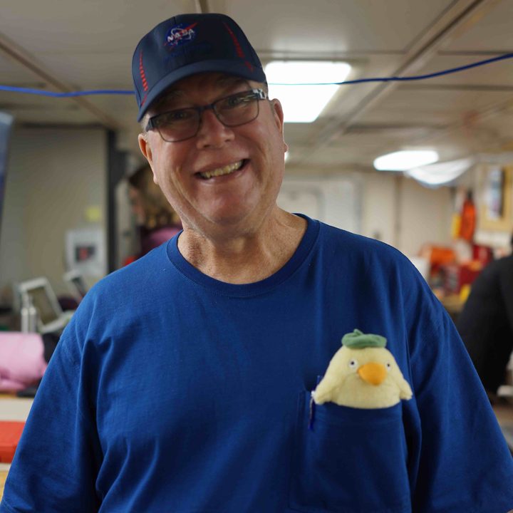
Your blogger, Eric Lindstrom, with Ootori-sama.
One of the key pieces of the puzzle we seek to solve in SPURS relates to turbulence. We really need a deeper knowledge of how turbulence near the ocean surface mixes the surface waters (See prior blog: What is ocean microstructure and why study it?). Rainfall here freshens the ocean, but mixing from saltier waters below and from north and south make the ocean saltier. So, some of the key observations in SPURS are measures of turbulence. Microstructure measurements on the Surface Salinity Profiler (SSP) provide a direct measure of turbulent mixing in the upper meter of the ocean (See prior blog: Chasing the Elusive Surface Salinity Profile).
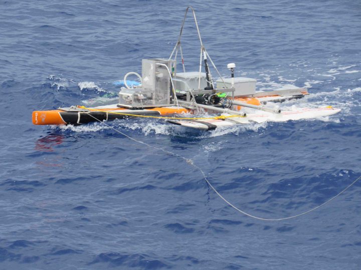
Surface Salinity Profiler.
Cunningly, the APL team is using another indirect measure of turbulence to simultaneously support and enhance interpretation of the SSP measurements. The Controlled Flux Technique (CFT) is simple in concept and provides a good qualitative measure of the increases and decreases of mixing at the ocean surface as we tow the SSP.
The CFT concept is to shoot a high power laser pulse at the ocean surface, heating the surface instantly by about 3C. An infrared camera (sensitive to temperature variations) photographs the spot where the laser hit the surface and using 25 snapshots per second tracks the cooling of the patch back to normal over the course of about one second. The speed at which the temperature returns to normal is a very good estimate of the amount of turbulent mixing at the surface. More turbulence means a fast decay to ambient temperature. Just the qualitative knowledge of the ups and downs of turbulence provided by CFT method is an enormous help in interpreting the SSP turbulence data.
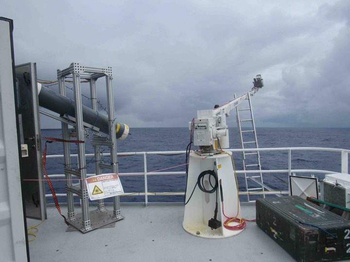
Laser (left) and infrared imager.
The laser in use is big and powerful, a 125Watt CO2 laser that shoots 100 millisecond pulses of 10.6 micron (wavelength) light at the surface. The laser light cannot penetrate water or flesh but its purpose is to quickly raise the temperature of the surface of the ocean which means that it can also burn a person or ignite a sheet of paper. Scientists can locate the beam by waving a two by four in the air. When the laser beam hits the wood there is a puff of smoke and a burst of flame. Ah!! There is the beam! We are all safe on the ship because the laser is pointed out away from the ship. The infrared laser beam is almost totally absorbed by the seawater so there is no danger of reflection.
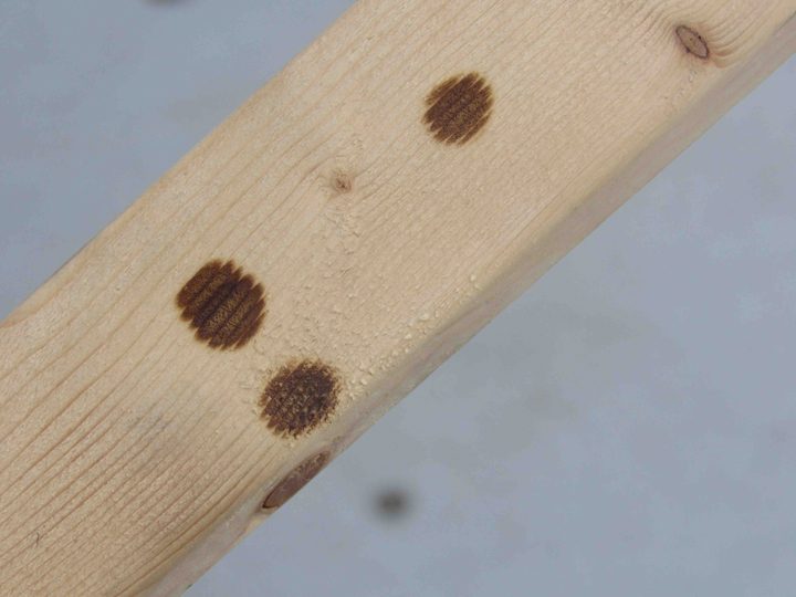
Three scars of laser pulses on a two-by-four.
The camera imaging the sea surface generates large volumes of data – about 1 Gigabyte per minute of use and we are sometimes making 10 hour runs every day! Bill Asher from UW Applied Physics Lab is running the CFT experiment and has brought petabytes of data storage. Interpretation back home will keep his desktop computer grinding for months!
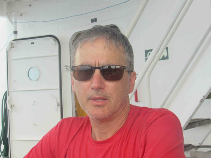
Bill Asher explains the Controlled Flux Technique.
Lucky for us we have a data processing mascot aboard the trip to assist Bill and other SPURS-2 scientists. Ootori-sama is a kind spirit duck whose “water karma” will assure good luck in all water-related data processing. Its is fun for us to inject some humor and superstition into shipboard life (See prior blog: Hello, Knorr? It’s The International Space Station Calling) especially around Halloween!
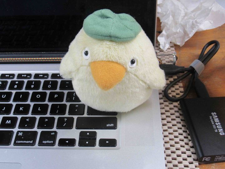
Ootori-sama working on CFT data processing.
The science to come out of the CFT analysis and the SSP in SPURS-2 is pretty simple. Conventional wisdom holds that rain INCREASES turbulence at the ocean surface. Last year’s work with CFT and SSP hints at the contrary idea – that rainfall may reduce wave micro-breaking at the ocean surface an REDUCE turbulent mixing. Fresh water tends to stabilize the ocean surface because the fresh water is more buoyant than salt water – but it also seems to have additional ways and means to reduce turbulence. Knowing these facts is key to modeling upper ocean salinity and interpreting the salinity measurements from space. How fresh water mixes into the ocean via rainfall is essential information for understanding the water cycle on the planet.
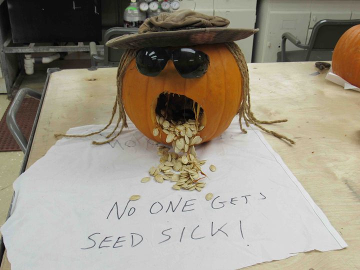
Aboard Revelle we prepare for Halloween. Pumpkins were distributed for a carving competition. Pumpkin slashing, drilling, and maiming is in full swing. Halloween decorations are appearing and costumes are being considered.
We arrived at the site of the NOAA mooring at 11N, 125W and recovered the entire string of equipment. As with most moorings in mid-ocean, it had acted as a Fish Aggregation Device (FAD) and some tuna and mahi-mahi were caught for our dinner. We recovered two Wave Gliders, visited the central SPURS mooring at 10N, 125W (see video in last blog post), and rendezvoused with a SailDrone for cross-calibration of instruments with Revelle.
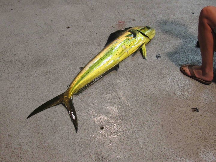
Mahi-mahi caught near the NOAA mooring.
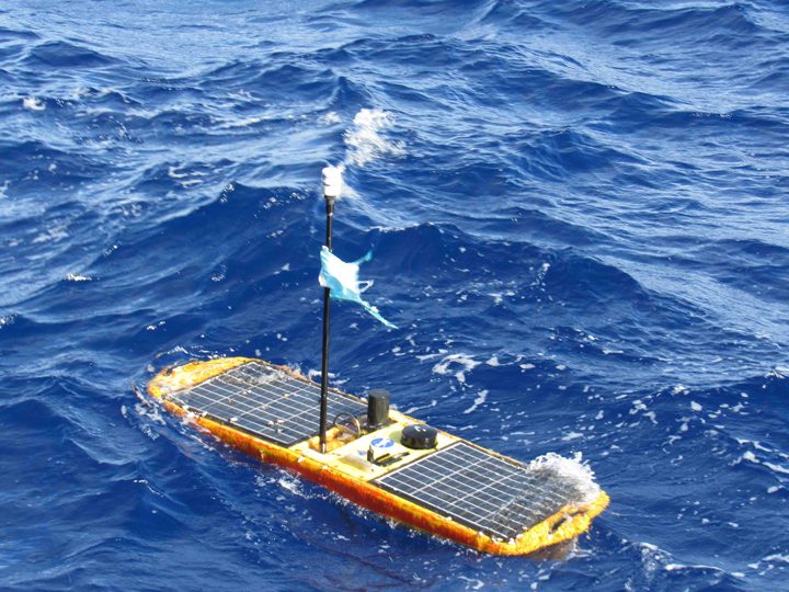
The Wave Glider after 14 months at sea.
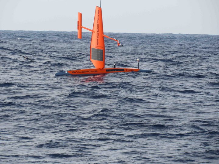
Rendezvous with the SailDrone.
Because it is a issue for all those aboard the ship, I thought I would try to explain our communication “challenges” for you as my “topic of the day.” Although communication between those at home and those on a ship has improved over the decades, being in mid-ocean still has quite a few communication challenges.
Clear voice communications via satellite phone is possible but the price (~$10/min) is prohibitive except for emergencies and critical needs. Some institutions send their staff to sea with their own personal satellite phones (not NASA). There are also Voice over Internet Protocol (VOIP) calls (those calls are limited to about 10 minutes) but the quality is poor enough that it is recommended only for those with patience for monosyllabic interpretation.
The preferred method of communication is email. It too is transmitted via a shared (with the oceanographic fleet) satellite link. We have strict rules as to size of email attachments (2Mb).
For research and business we can access the internet as well, but need to be aware that there are daily limits on our use of the shared satellite resources – 150Mb of download per day per person. This is easily used up by certain kinds of downloads and email programs, so everyone has to tighten up there computer habits while aboard ship. It reminds one of using the old slow “dial-up” connections that were common before cable and wifi.
For me, doing the blog, I face the challenges daily. I can send text just fine, but I have to downsize all photos before transmission in order to meet the 2 Mb limit in email attachments. NASA has asked me to provide short movies (15 sec clips) as well. These have to be transmitted by yet another method to a public FTP site at Scripps in San Diego so NASA can collect them there.
Critical science data files are transmitted to and from the ship like the movie clips, by dropping them in special folders that process the data transmission via satellite more efficiently than email programs. It is very helpful to us on the ship to have satellite and model data processed by our “dry team” at the NASA Jet Propulsion Laboratory in Pasadena, CA. They transmit files to us daily in what is called the “tarball.” (See previous blogs: The Sticky Mess in the Tarball; Modeling And The Dry Side of SPURS).
Fred Bingham is on the ship as our SPURS data manager and he acts as the clearing house for information requests from the dry team. Ultimately, he assembles SPURS data sets into a well-documented package that can be archived by NASA and analyzed by the scientific community in years to come as a single complex but comprehensive data set. (See previous blog: Managing SPURS Data)
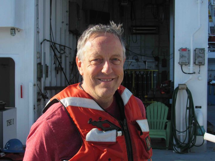
Fred Bingham, SPURS data manager.
Oceanographic data is collected and preserved in a number of ways. Some of our instruments and moorings transmit data home in real time independently. However, some data is internally recorded in an instrument sitting in the ocean depths and can only be saved for posterity when we recover the instrument (that is one objective of this SPURS-2 expedition – gather up all the instruments with their valuable data).
As you can see, being at sea separates us into our own quiet place, linked to the world with “dial-up” speeds and strict limits on the volume of communication. The isolation is embraced by most seagoing scientists as a rare gift in our hyper-connected world.
I try not to make this blog a travel diary, but sometimes an event is worth a sidebar. So, before I launch into words about our voyage planning, I must tell you about the flying fish.
No matter how many times you go to sea, flying fish are a wonder of nature. Just the fact that we see individual fish scooting above the surface for long distances (many 10s of yards) is amazing enough. However, there are times when the deep blue surface of the water transforms to a shimmering silver and miraculously turns into hundreds of small flying fish launching themselves as one in the same direction. It’s amazing to watch and hard to capture on film from a moving ship. The fish don’t fly as much as glide with “skitter,” as they touch the water intermittently and then buzz their tail at the surface like an outboard motor. With this added energy they keep themselves gliding above the water surface using their outsized pectoral fins as glider wings. They must have a tough life—with large fast fish like tuna and mahimahi stalking them from below and birds stalking them from above. However, they must have a keen sense for when to be in the water and when to launch into the air—and evolution has provided them with the means to act on the threats. How they coordinate their mass takeoffs and landings as a school is, I would guess, a mystery. It is certainly awesome!
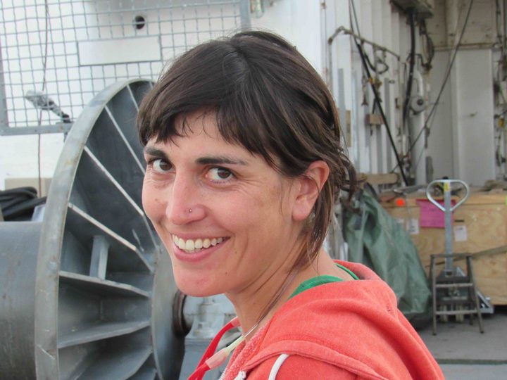
Kyla Drushka, chief scientist.
So, I digress! Our Chief Scientist, Kyla Drushka, from the Applied Physics Lab at University of Washington has been coordinating planning and logistics for this voyage for about a year—since the end of the SPURS-2 deployment voyage in 2016. She has a complex assignment because there are 24 distinct scientific instruments or suites of instruments aboard the vessel—each with a different responsible scientist either ashore or aboard. Coordination of the sampling from all these instruments and how it interacts with the location and speed of the ship is the primary job of the chief scientist. It is akin to conducting a symphony orchestra of oceanographic measurements—all of which require special interaction with the symphony hall in order to operate properly—to make good scientific “music.” Some sensors require us to be moving fast, some slow, some upwind, some downwind, some stopped. Some require our full attention and some operate autonomously. On site, here in the tropical ocean, we are recovering instruments deployed from the ship last year, deploying and recovering a variety of devices that sample only the weeks we are here, and deploying permanently some instruments that become part of the sustained Global Ocean Observing System. From the ship itself we are making a wide variety of detailed measurements of the ocean as we move about. Kyla has listened to everyone’s requirements and delivered a symphonic arrangement that sounds wonderful in our mental rehearsal of the scientific findings. All we have to do now is execute the arrangement in the real world.
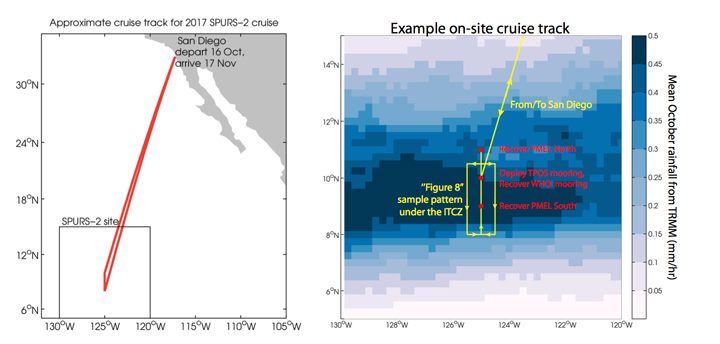
SPURS-2 cruise plan.
Overall this SPURS voyage, like others before, seeks a balance in the overall plan of action. Ultimately the goal is to learn how to interpret satellite measurements of surface salinity. This cannot be done without assessing the ocean physics that effect surface salinity and the “forcing” of signals by evaporation and precipitation. Thus, the expedition includes the ways and means for us to assess upper ocean mixing, the role of eddies in stirring the upper ocean, a detailed look at all scales of precipitation, and estimates of evaporation. Of course we cannot measure everything everywhere, so the primary role of the experiments and expeditions are to collect observations that can help us perfect computational models of surface salinity behavior that accurately mimic our satellite observations. Models can deliver estimates of what is happening around the globe and over long stretches of time – scales out of reach from ship observations. Good models lead to better prediction and we certainly need better predictions of ocean behavior for high quality predictions of climate. That kind of impact is what motivates the SPURS team.
The video below shows the view from a small boat as scientists approached a mooring in order to change some batteries. The R/V Revelle is visible in the background. (GoPro video by Raymond Graham/WHOI Mooring Group.)
Finally, as I was drafting the paragraphs above, a sea bird landed on the stern of Revelle. Not just any sea bird but a Peruvian booby. This bird is either blown of course and needs a rest or I need to go back to Booby identification school! I bid you farewell for the day and hope offended birders will tell me how unusual it is to find a Peruvian Booby at 125W, nearly 20 degrees north of the equator.
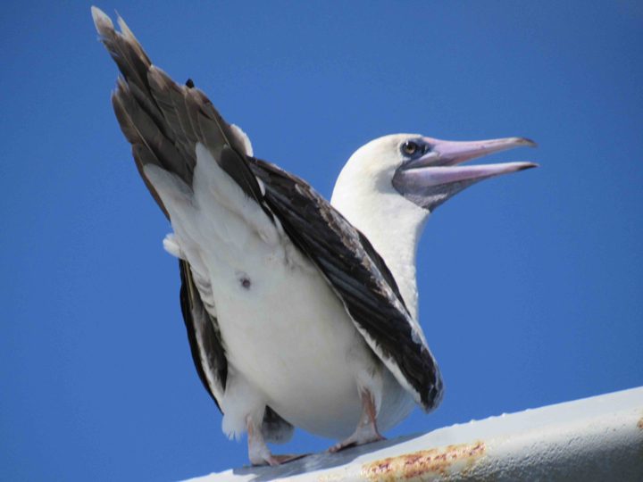
An off-course Peruvian Booby?
One of the issues that is never far from one’s thoughts on a ship is preparation for emergencies. We are a long way from first responders or help of any kind. Therefore, crew and passengers (us scientists) need to be prepared to help ourselves and our mates. This blog is meant to reassure those ashore that your friends and family on Revelle are safety conscious and prepared for emergencies.
Revelle is a very safe and capable platform. It is outfitted with an enormous array of equipment whose sole purpose is to save lives and alert the world if we have any emergency aboard. On Revelle we have weekly drills to rehearse actions in case of the three most likely emergencies. Those three things are fire, man-over-board, and abandonment of the ship. If we were in some other place in the world a fourth emergency would also be on our rehearsal agenda – piracy! Piracy is not a concern out here in the open Pacific Ocean, but in some areas of the world it would an urgent issue for crew and passenger training.
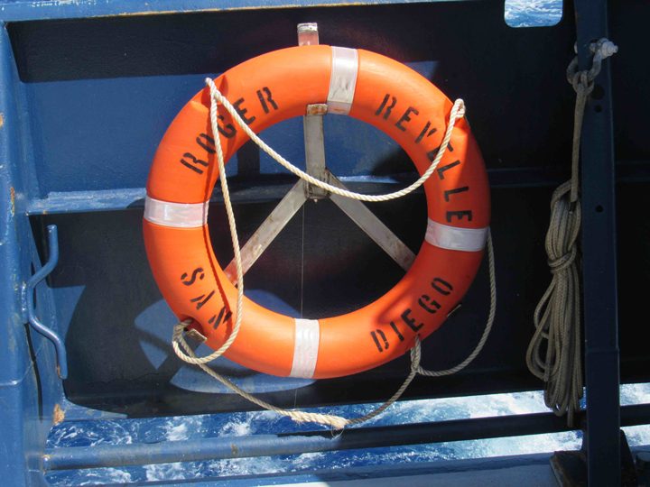
Life rings at the ready on the aft deck.
During drills we learn where to go for various alarms, what to bring, and what we (passenger scientists) might be expected to do for that particular emergency. In case of fire, the crew is highly trained and the science party would likely be moved out-of-the-way to a safe spot. However, we do need to know how to raise the fire alarm and the different kinds of fire extinguishers available. Obviously initial action can be critical to stopping a small situation from becoming a major crisis. In case of man-over-board, someone must alert the bridge immediately, keep eyes on the person in the water, and begin getting floating objects into the water (kind of trail of breadcrumbs that can lead the ship back to the person). In case we are called to abandon ship, everyone needs to know how to launch a life raft (we have plenty!) and be familiar with the communications equipment available in the rafts.
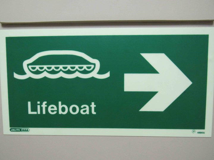
It is not hard to find a life raft should we need one.
Another issue entirely, and more of a daily concern, is working safely on deck at sea. Oceanography often involves movement of heavy equipment on a platform that may be rocking and rolling and slippery with rain or sea water. Common sense safety requires everyone to be outfitted with a floatation vest and a hard hat during deck operations. It is also common sense to take precautions at night NOT to work alone.
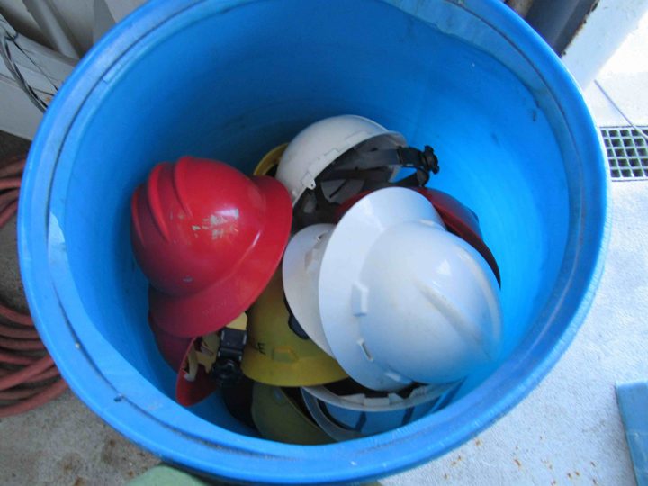
A bin of hard hats ready for a hardworking scientist.
Finally, there is the issue of how our personal safety impacts all aboard. We are in a confined space so illness can spread fast. That means that we must all pay attention to the public health, such as hand washing and reporting health issues. One must pay careful attention to the hazards one may create in our work spaces. The illness or injury of one person potentially impacts everyone’s projects and the overall expedition. So, overall, there is a increased awareness and devotion to safety when at sea.
I don’t think anyone on the home front should worry about us. All of us are looking out for one another and the crew of Revelle has an awesome commitment to safety and functioning of the ship.
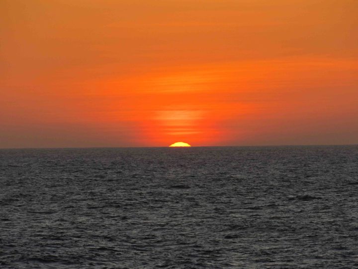
The sunset as seen from the ship on October 18, 2017.