NASA aircraft return to the Arctic to assess the health of the region’s ice.
Published May 3, 2012
New elevation measurements will give researchers an unprecedented understanding of the thickness of sea ice, which will be used to help improve climate modeling and forecasts.
Published Dec 18, 2018
Hundreds of scientific papers have come out of NASA’s Operation IceBridge, which ended this week.
Published Nov 23, 2019
One of NASA’s workhorse planes, the DC-8, is being used this month to provide critical insight on the health of the ice sheets and shelves at the southern tip of the world.
Published Nov 16, 2010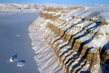
Acquired March 29, 2011, this photograph shows canyons along the coast of northwestern Greenland.
Published May 1, 2011
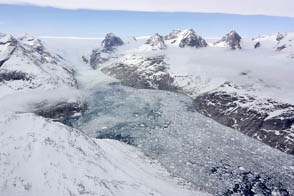
Openings amid the Greenland Ice Sheet show that it’s a long way down.
Published May 12, 2015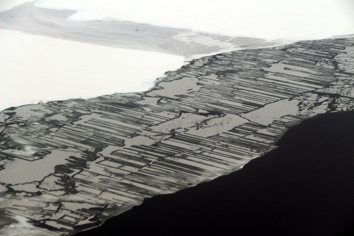
As a result of the collision, blocks of ice slide above and below each other in a pattern that resembles a zipper or interlocking fingers.
Published Nov 22, 2017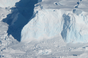
Researchers working on Operation Icebridge captured fresh photos and data from the ice on the bottom of the world.
Published Nov 10, 2012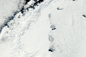
The MODIS instrument on NASA’s Aqua satellite captured this clear view of the Antarctic Peninsula, the Larsen Ice Shelf, and the sea ice covered waters around the region in October 2011.
Published Oct 15, 2011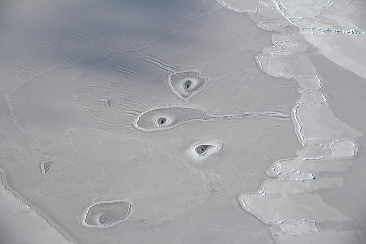
Scientists pose an array of explanations for the strange circular features visible on sea ice in the eastern Beaufort Sea.
Published Apr 21, 2018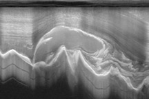
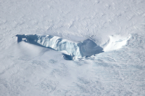
Researchers working in Antarctica have found evidence of large-scale ice making at the bottom of that continent's massive ice sheets.
Published Apr 21, 2011alert message
