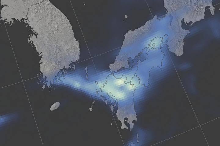
Following closely after a tropical storm, a rainstorm triggered deadly floods and landslides in Japan’s southern island of Kyushu.
Published Jul 8, 2017Image of the Day Atmosphere Land Floods Severe Storms Human Presence
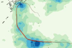
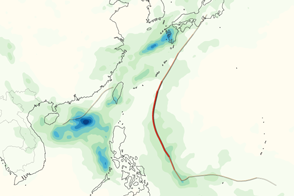
This color-coded image shows the storm track and rainfall amounts associated with Typhoon Ma-on in July 2011.
Published Jul 22, 2011
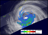
This color-coded map shows rainfall amounts associated with Tropical Storm Talas, the deadliest storm to strike Japan since 2004.
Published Sep 6, 2011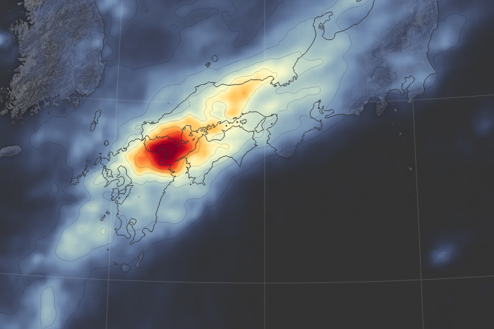
Storms and heavy rains causes Japan’s worst flooding disaster in 35 years.
Published Jul 10, 2018Image of the Day Land Floods Severe Storms Human Presence Remote Sensing
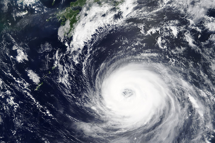
A storm spinning off the coast of Japan promises widespread rain.
Published Oct 4, 2014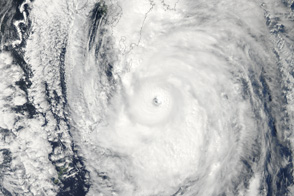
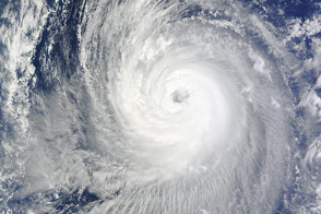
Poised to go ashore over Japan, Typhoon Roke is a large, well-developed storm in this image from September 20, 2011.
Published Sep 21, 2011
The typhoon’s rapid intensification was followed by far-reaching damage in Honshu.
Published Oct 15, 2019Image of the Day Atmosphere Land Water Severe Storms Human Presence
Guchol and Talim brought heavy rain to the western Pacific Ocean in June 2012. This image shows rainfall totals and storm tracks.
Published Jun 20, 2012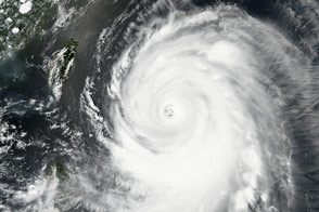
Two typhoons lined up in the Northwest Pacific Basin, tracking northwest toward Japan.
Published Aug 20, 2018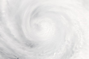
Though downgraded from a super typhoon, the storm was expected to pound Japan with several days of intense rainfall.
Published Jun 20, 2012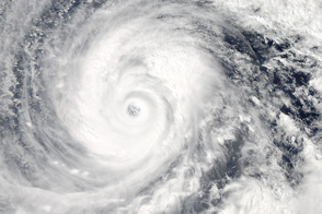
The second massive storm of October 2014 barrels down on Japan.
Published Oct 10, 2014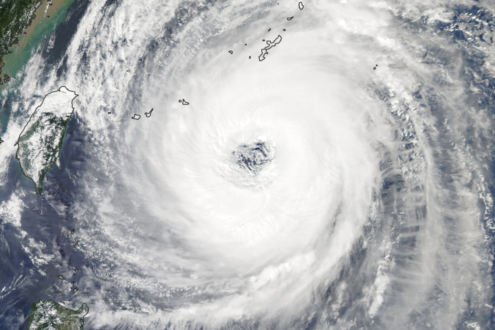
As the storm turns toward Japan, the country’s meteorological agency warns of the potential for heavy winds, rain, landslides, and flooding.
Published Sep 29, 2018
alert message
