Inverted river channels in central Utah look similar to features on Mars—a clue that liquid water once might have flowed in abundance on the Red Planet.
Published Dec 4, 2012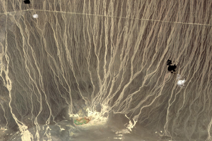
Braided streams along a mountain front form a larger geological feature known as a bajada.
Published May 25, 2019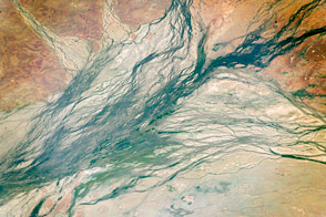
These wide Australian floodplains are unique on the planet. Scientists think they are caused by the extreme variation in water and sediment discharges from the local rivers.
Published Oct 10, 2016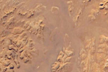
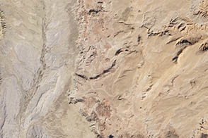
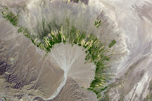
This detailed astronaut photograph shows the classic patterns of an eroded desert landscape, about 300 kilometers (190 miles) south of Libya’s Mediterranean coast.
Published Oct 27, 2008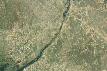
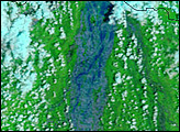
Acquired April 16, 2011, this natural-color image shows water flowing through the Bukalo Channel toward Lake Liambezi in easternmost Namibia.
Published Apr 25, 2011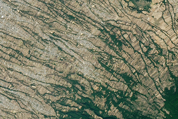
The network of narrow stream valleys that flow off this towering volcano in central Mexico are sometimes used as roads—or convenient places to set up soccer pitches or sift for building materials.
Published Aug 29, 2020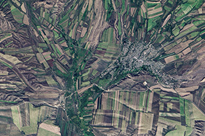
Farming and natural topography turn this Landsat image into something reminiscent of a cubist painting in shades of green and tan.
Published Sep 25, 2013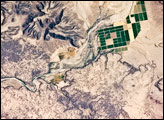
This detailed astronaut photograph depicts a portion of the Gila River channel in south-central Arizona. The northernmost boundary of the Sentinel Volcanic Field is visible in the image, recognizable by the irregular flow fronts of thin basalt lava flows. Active agricultural fields along the Gila River are a rich green set against the surrounding desert.
Published Jul 28, 2008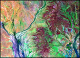
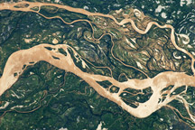
The Paraná River is South America’s second largest, and an important transportation route for landlocked cities in Argentina, Paraguay, Bolivia, and Brazil.
Published May 2, 2011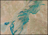
A dry river channel carves through the Zagros Mountains in southern Iran and spreads out across the valley floor in a silvery fan. A broad belt of lush agricultural land follows the curve of the alluvial fan.
Published Dec 2, 2008alert message
