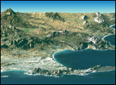

Nelson Mandela took the long view of his country and world, as does this photo from the space station.
Published Dec 15, 2013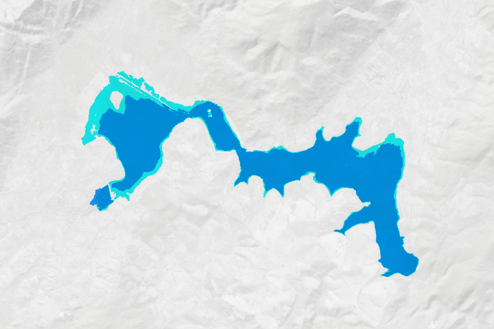
After nearly running out of water in early 2018, the city’s reservoirs are being replenished by rain, conservation efforts, and engineering fixes.
Published Jul 16, 2018Image of the Day Land Water Drought Human Presence Remote Sensing
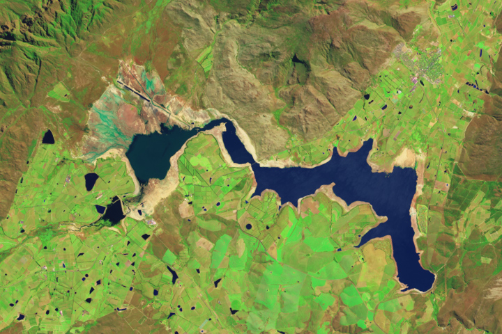
Reservoirs in the South African province are low after three years of unusually dry weather.
Published Nov 7, 2017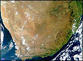
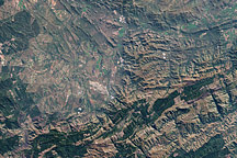
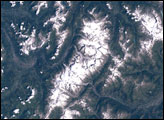
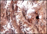
The mountains around the town of Barberton, South Africa, are rich in both history and prehistory. Referred to as the Barberton Greenstone, these mountains derive their name from their greenish hue, and they comprise what may be the world’s best-known greenstone belt.
Published Nov 23, 2008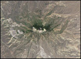
A multi-year drought, a growing population, and management choices have put the city’s water supply in a precarious position.
Published Jan 29, 2018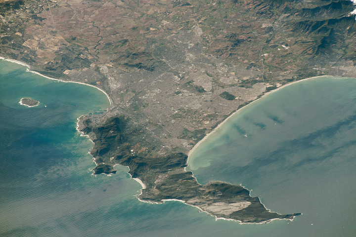
Originally named the Cape of Storms, it was later renamed to Good Hope in order to attract more people to the Cape Sea Route.
Published Aug 18, 2019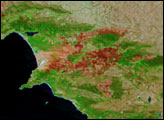
The effects of bushfires in South Africa to the east and southeast of Cape Town are evident in this shortwave- and near-infrared-enhanced satellite image captured by the MODIS instrument on NASA’s Terra satellite on February 6, 2006.
Published Feb 6, 2006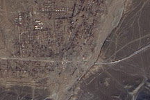
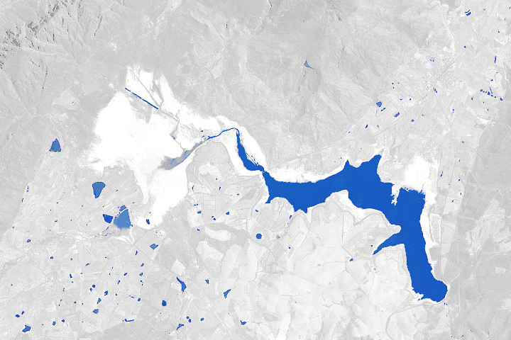
Acquired March 21, 2010, a true-color, high-resolution image shows the settlement of Kyzylagash and its surroundings. On either side of the waterway, two tiny white strips along the highway suggest a destroyed bridge. Rugged mountains, partially covered with snow, push up against Kyzylagash.
Published Mar 22, 2010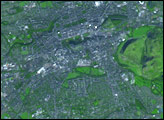
alert message
