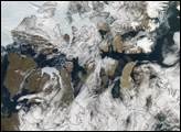
On September 15, 2007, the Moderate Resolution Imaging Spectroradiometer (MODIS) on NASA’s Terra satellite captured a largely cloud-free image of the Northwest Passage. Although the sea route had been characterized as nearly open weeks earlier, persistent cloud cover prevented a MODIS true-color image of the open route.
Published Sep 24, 2007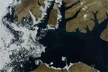
Acquired August 17, 2010, this natural-color image shows a mostly clear McClure Strait, except for some sea ice west of Prince Patrick Island.
Published Aug 18, 2010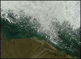
From the time Europeans discovered the North American continent to the mid-twentieth century, sailors searched for a northwest passage that would connect the Atlantic Ocean (and Europe) to the Pacific Ocean (and Asia). No such passage exists through the continent, but during the summer, a northwest route through the Arctic opens up.
Published Aug 1, 2006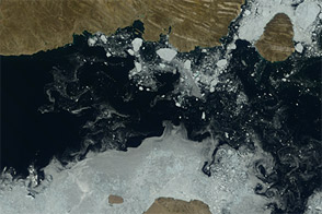
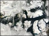
Acquired July 17, 2012, and August 3, 2012, these natural-color images show the retreat of sea ice from the Parry Channel in the Northwest Passage.
Published Aug 9, 2012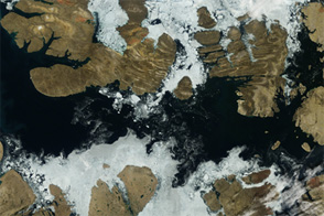
Acquired August 2, 2012, this image shows a largely open Northwest Passage.
Published Aug 6, 2012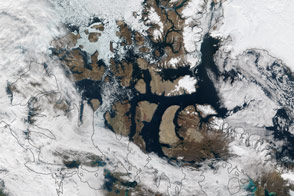
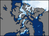
The southern route is open, while the northern route still has some lingering ice in Parry Channel.
Published Sep 13, 2015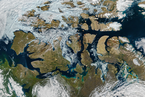
By mid-August 2016, the famed high-latitude sea route in the Arctic Ocean was open.
Published Aug 20, 2016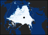
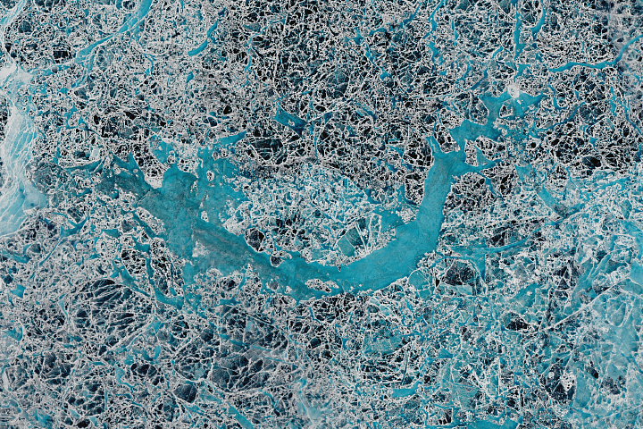
As sea ice around Russia’s New Siberian Islands thins and breaks-up each summer, it takes on the appearance of stained glass.
Published Nov 23, 2018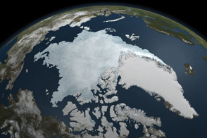
This animation shows Arctic sea ice shrinking to a near record minimum in the summer of 2011.
Published Sep 22, 2011alert message
