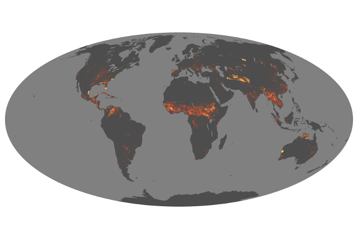
Scientists have answered some important questions about how fires vary around the world and are changing over time.
Published Aug 21, 2019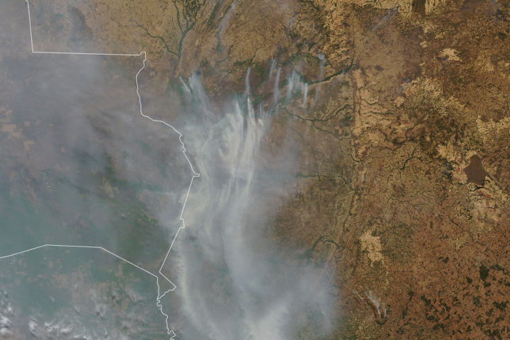
Drought-parched wetlands in South America have been burning for weeks.
Published Sep 17, 2020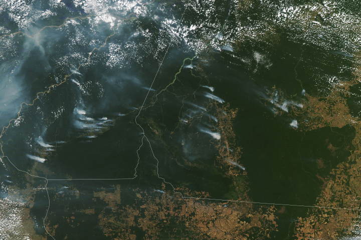
Following a notable increase in fire activity in August 2019 and a gradual rise in deforestation, scientists have been watching for signs of how 2020 might shape up. Several worrisome signs have emerged.
Published Aug 19, 2020Image of the Day Heat Land Fires Human Presence Remote Sensing
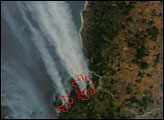
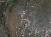
A handful of fires in the Bío-Bío region of Chile were detected by the Moderate Resolution Imaging Spectroradiometer on NASA’s Aqua satellite on January 13, 2007. The largest of the fires are near the coast, south of the Itata River.
Published Jan 16, 2007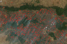
An arc of hundreds of individual fires wraps around the northern part of Cambodia, north of the Tônlé Sab lake, on February 9, 2009.
Published Feb 11, 2009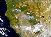
Smoke from several large forest fires blanketed areas of Northern California in late summer, 1999.
Published Sep 2, 1999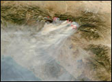
In November 2015, seasonal agricultural fires dotted the landscape of Africa’s largest island.
Published Nov 22, 2015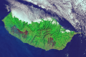
An outbreak of fire on the Portuguese island blackened a large swath of forest.
Published Aug 18, 2016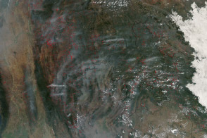
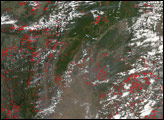
Hundreds of fires veiled northern Indochina in smoke as the traditional land-use burning season neared its peak.
Published Mar 19, 2014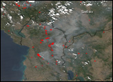
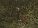
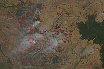
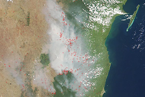
Dozens of fires burn in farmland around Cambodia’s Tonle Sap in this photo-like image taken on January 21, 2011.
Published Jan 24, 2011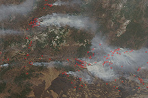
Dozens of fires were burning in eastern Russia on April 29, 2009, when the Moderate Resolution Imaging Spectroradiometer (MODIS) on NASA’s Aqua satellite captured this image.
Published May 1, 2009alert message
