In places where concentrations of the precious metal have been discovered, mining operations are large enough to be seen from space.
Published Jan 30, 2021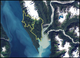
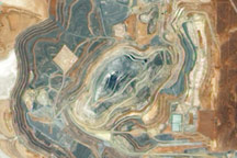
Acquired December 4, 2009, this true-color image shows the Sunrise Dam Gold Mine, roughly 55 kilometers (35 miles) south of Laverton, Western Australia.
Published Dec 20, 2009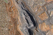
Acquired February 15, 2010, this true-color image shows the Super Pit Mine in Western Australia and part of the neighboring metropolitan area of Kalgoorlie.
Published Feb 21, 2010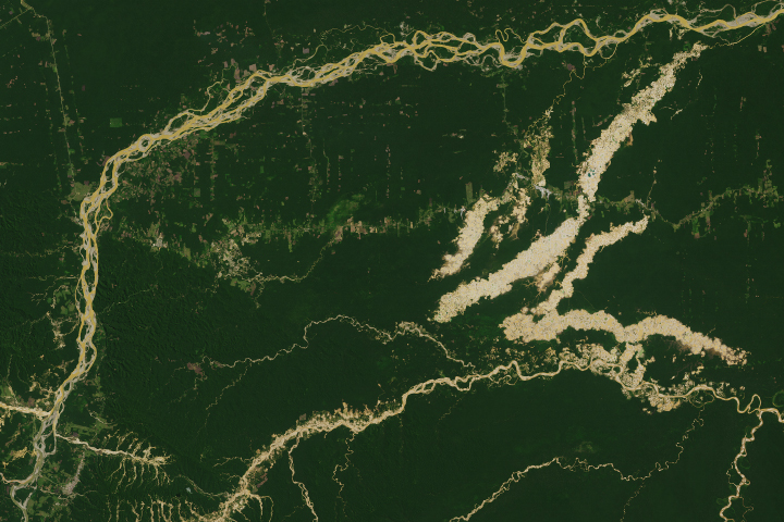
The Madre de Dios region has a rich concentration of endemic species, but their habitats are being threatened by human activity.
Published Apr 19, 2019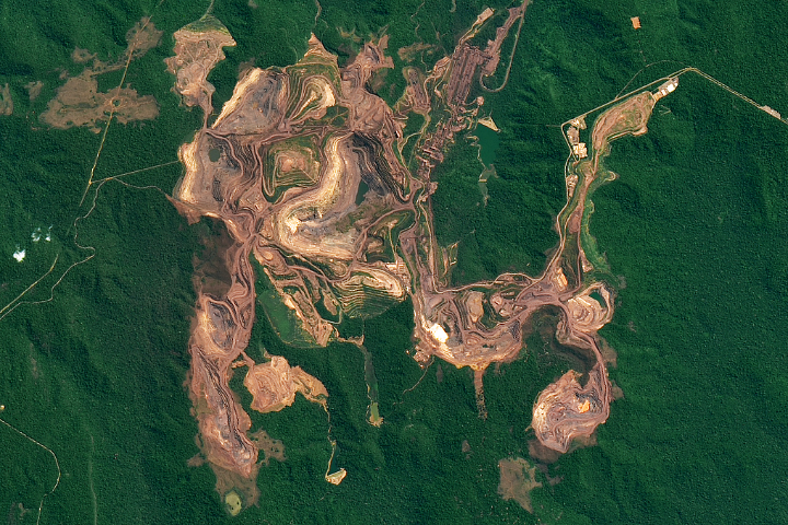
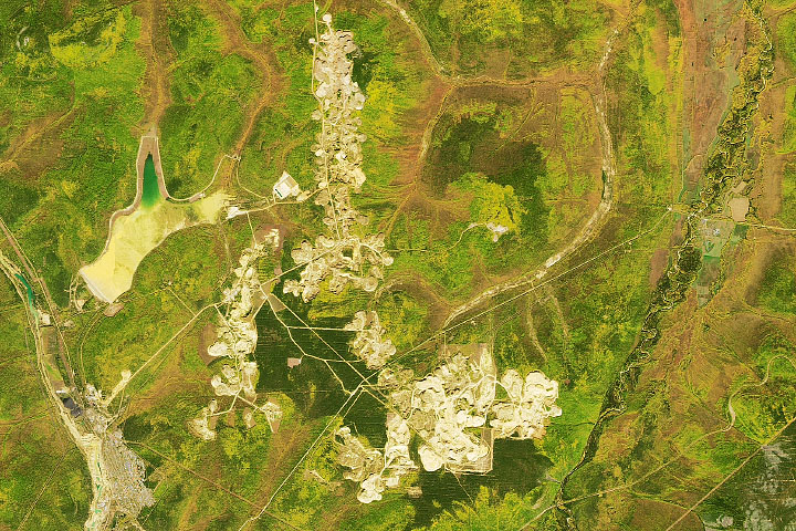
The red-brown earth exposed by open pit mines contrast with the greens of the surrounding Amazon forest.
Published Feb 23, 2019

For the first time, scientists will be able to monitor the daily and hourly weather of the uppermost parts of the atmosphere.
Published Mar 18, 2018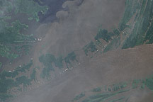
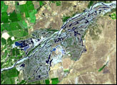
In June 2009, the waters of the Amazon surrounded the villages near its confluence with the Negro River, seeping into the cleared land and filling what had been pale green angular shapes with murky brown water.
Published Jul 17, 2009alert message
