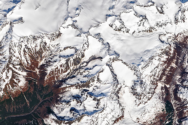
Warm spring weather may have helped trigger a landslide on Yudi Peak.
Published May 28, 2020Image of the Day Land Drought Fires Snow and Ice Temperature Extremes
A combination of seismographic data and satellite imagery is making it easier for scientists to locate elusive landslides. In summer 2013, Landsat 8 helped pinpoint a slide in eastern Alaska.
Published Aug 30, 2013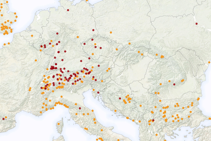
A new NASA project improves landslide inventories with data from the public.
Published Jul 11, 2019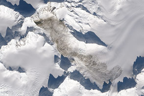
The largest natural landslide to occur anywhere on Earth since 2010 spilled off the flanks of Mount La Perouse in February 2014.
Published Feb 25, 2014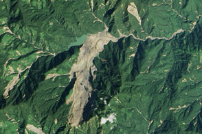
Heavy rainfall from tropical storm Komen triggered a large landslide in Myanmar (Burma).
Published Nov 8, 2015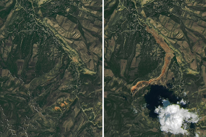
Debris spread more than 3 kilometers (2 miles) from the source to the toe of the landslide.
Published May 22, 2017
A tsunami washed over the low-lying coastal resort region near Camaná,southern Peru, following a strong earthquake on June 23, 2001. The earthquake was one of the most powerful of the last 35 years and had a magnitude of 8.4. After the initial quake, coastal residents witnessed a sudden draw-down of the ocean and knew a tsunami was imminent. They had less than 20 minutes to reach higher ground before the tsunami hit. Waves as high as 8 meters came in four destructive surges reaching as far as 1.2 kilometers inland. Thousands of buildings were destroyed, and the combined earthquake and tsunami killed as many as 139 people.
Published Mar 17, 2002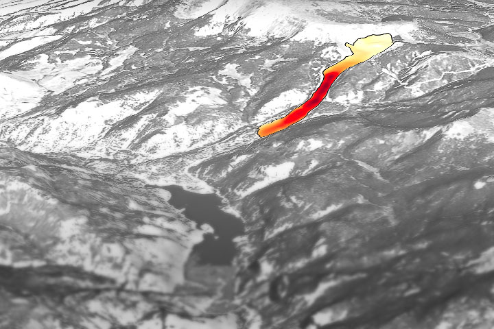
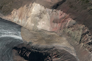
Through the study of an unusual, long-lasting slide, has developed a new technique to make prediction easier and more accurate.
Published Jun 5, 2020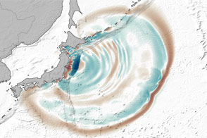
Even at great distances from their source, tsunami waves can grow by being focused and steered by underwater ridges.
Published Mar 12, 2012
New open-source software called SLIP-DRIP uses satellite images and rainfall data to help identify otherwise overlooked landslides.
Published Jul 8, 2016alert message
