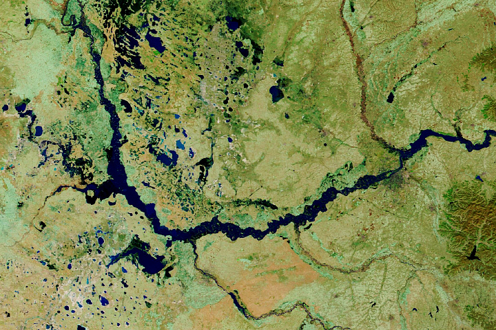
The 2020 monsoon has brought historic amounts of rain to the country.
Published Oct 30, 2020Image of the Day Land Floods Severe Storms Human Presence Remote Sensing
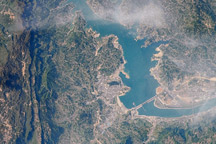
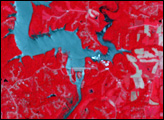
This image from April 15, 2009, is one of the first images that astronauts on the International Space Station have been able to capture of the flooding behind the Three Gorges Dam in China.
Published Jun 8, 2009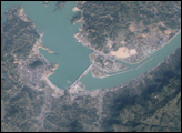
The longest river in Asia, the Yangtze River brings mixed blessings to China. Although it meets the water needs of millions of people, the river regularly overflows its banks. To protect residents and land in the lower Yangtze floodplains, China began construction on the Three Gorges Dam in 1994.
Published Jun 13, 2007
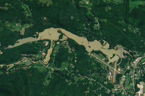
An aerial photo from July 6, 2009, and a satellite image from August 29, 2011, show the North Springfield Reservoir before and after Irene’s heavy rains.
Published Sep 1, 2011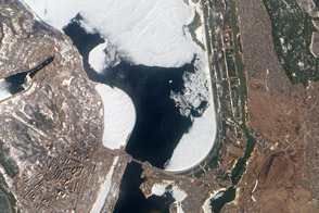
Authorities keeps a watchful eye on ice near a key dam on the Kyiv Reservoir.
Published Mar 31, 2012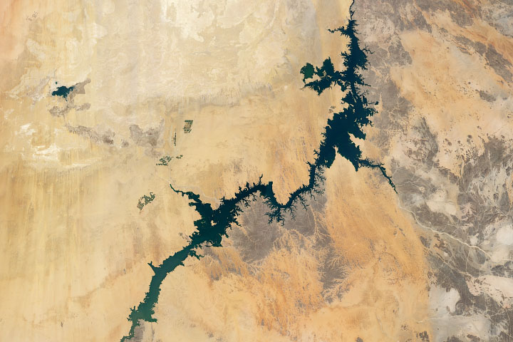
Irrigation from Lake Nasser, one of the world’s largest man-made lakes, has increased the amount of arable land and crop production in Egypt.
Published Jul 8, 2020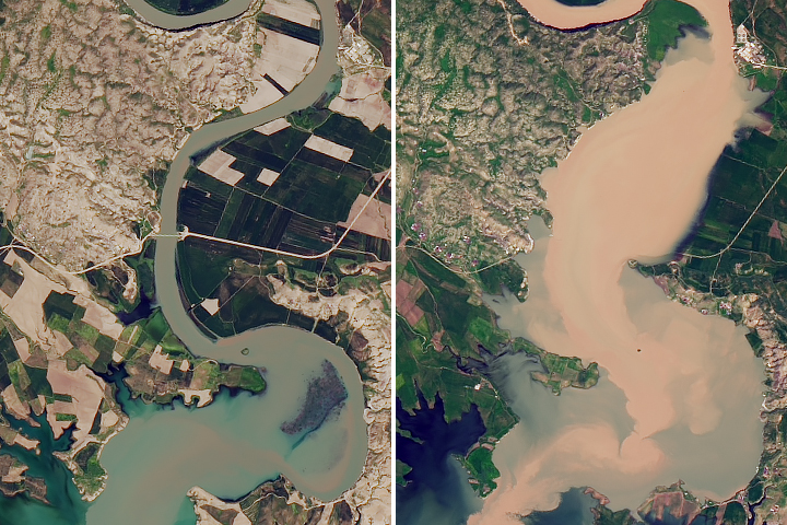
Satellite data shows that water levels in Iraq’s largest reservoir have reached heights not seen in more than a decade.
Published May 8, 2019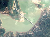
his true-color image, captured by Taiwan’s Formosat satellite on June 4, 2008, reveals changes to Zipingku Reservoir behind the dam in the wake of the 7.9-magnitude earthquake of May 12, 2008.
Published Jun 7, 2008alert message
