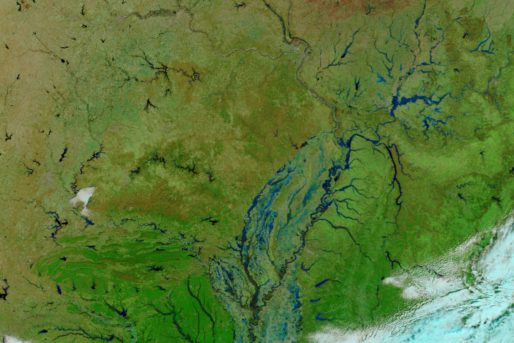
Record-setting rain has sent rivers over the banks in Arkansas, Oklahoma, and Texas.
Published May 28, 2015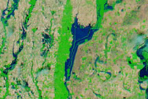
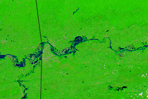
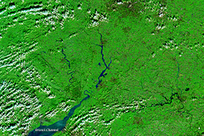
Acquired May 10, 2011, and April 29, 2011, these false-color images show growing floods west of the Mississippi River.
Published May 11, 2011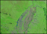
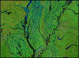
In late February 2018, heavy rains gave rise to damaging floods along the Ohio and Mississippi rivers.
Published Feb 27, 2018Image of the Day Land Water Floods Human Presence Remote Sensing
A series of rainstorms pushed rivers in southern Great Britain to flood stage in February 2014.
Published Feb 17, 2014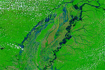
Acquired April 28, 2011, and April 29, 2010, these false-color images compare spring flooding conditions.
Published Apr 28, 2011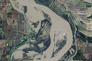
Flooding in early 2016 affected communities along the length of the Mississippi River; here is the view near Arkansas City.
Published Jan 15, 2016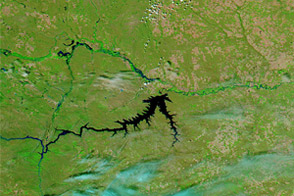
Acquired June 5, 2011, and June 16, 2010, these false-color images compare conditions along the Milk, Souris, and Missouri Rivers in Montana and North Dakota.
Published Jun 6, 2011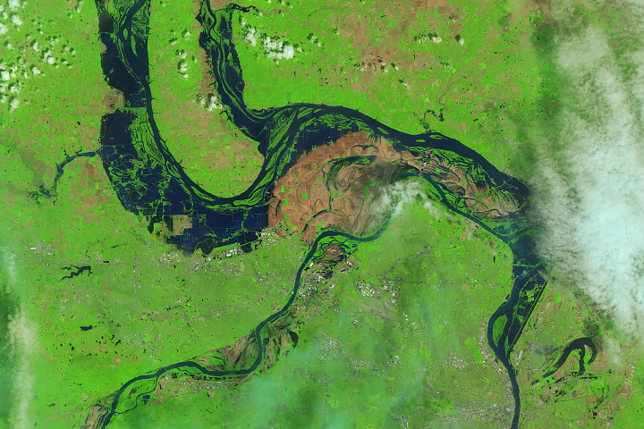
The Landsat 8 satellite observed water out of the river banks and on the floodplains near St. Louis.
Published May 9, 2019alert message
