The 2020 monsoon has brought historic amounts of rain to the country.
Published Oct 30, 2020Image of the Day Land Floods Severe Storms Human Presence Remote Sensing
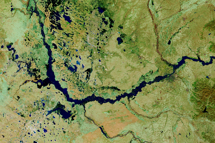
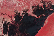
Relentless rains are to blame for ongoing flooding in northeastern China. On September 1, 2003, embankments along the Weihe river, left, burst.
Published Oct 23, 2003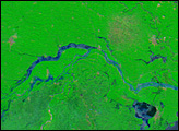
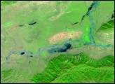
This pair of images from the Advanced Spaceborne Thermal Emission and Reflection Radiometer (ASTER) on NASA’s Terra satellite shows flooding in along the Chobe River in Namibia.
Published Apr 8, 2009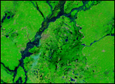
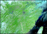
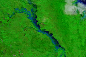
The Songhua River, a tributary of the Amur River, showed significant flooding on August 30 when the Terra satellite acquired this image.
Published Aug 30, 2013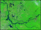
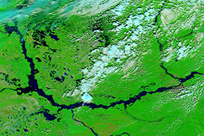
Summer rains have filled China's rivers, triggering floods through much of the country.
Published Jul 21, 2005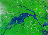
Acquired in late March 2012 and 2011, these images compare conditions along the Isaac River, a tributary of Queensland’s Fitzroy River.
Published Mar 29, 2012