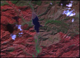
The fire in Alberta, Canada, had burned 2,410 square kilometers of land by May 12, 2016.
Published May 16, 2016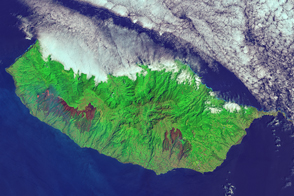
An outbreak of fire on the Portuguese island blackened a large swath of forest.
Published Aug 18, 2016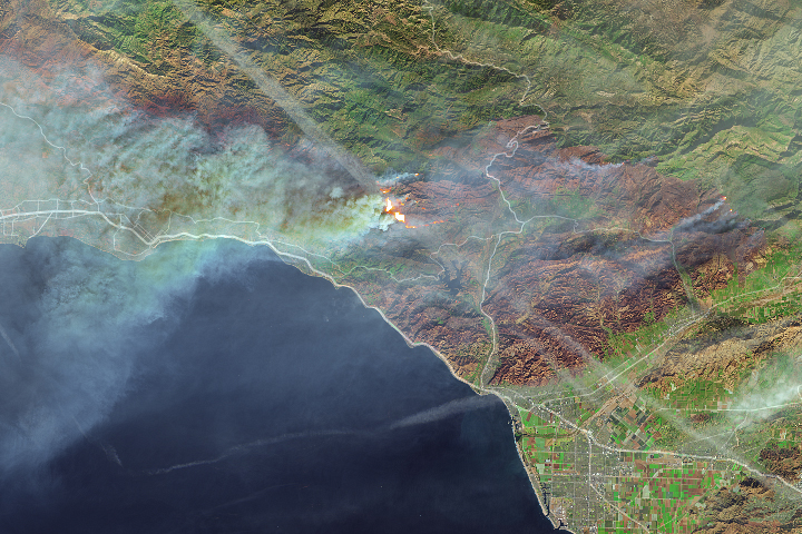
Thick smoke from the blaze blanketed Santa Barbara.
Published Dec 11, 2017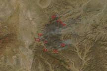
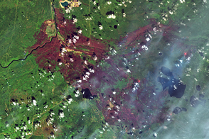
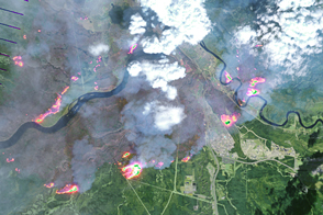
This image pair shows two large fires burning in the mountains of northern Mexico on April 3, 2011.
Published Apr 4, 2011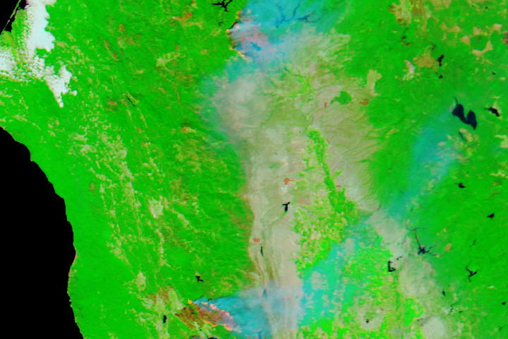
Almost a quarter of a million acres of land and more than a thousand homes have been consumed by three wildfires in Northern California.
Published Aug 4, 2018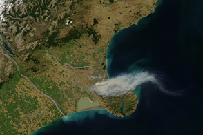
In mid-February 2017, wildfires near Christchurch, New Zealand, spurred the evacuation of more than 1,000 residents.
Published Feb 18, 2017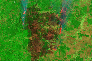
The blazes thwarted firefighters’ efforts, with new hot spots emerging daily.
Published Feb 3, 2017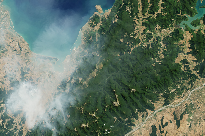
Wildfires near the city of Nelson burned amid a hot, dry summer.
Published Feb 11, 2019
False-color satellite imagery offers insight that goes beyond what the human eye can see.
Published Mar 6, 2016
While a typical digital camera takes one picture of a scene based on information from the visible spectrum, Landsat generates multiple views of everything it images.
Published Aug 1, 2012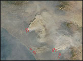
Wildfire continued to spread through Fort McMurray in Canada’s Northern Alberta region.
Published May 5, 2016