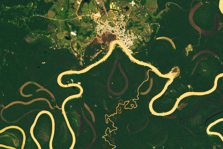
Heavy sediment loads play a role in making it one of the most sinuous rivers in the Amazon Basin.
Published Nov 13, 2019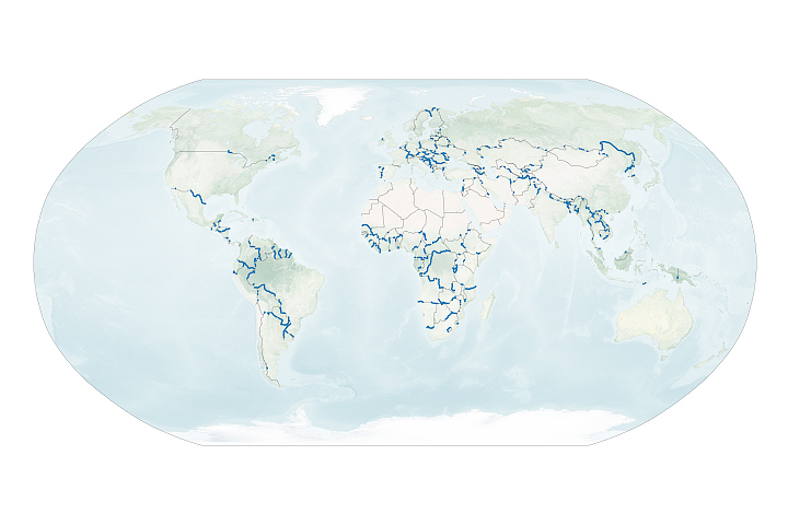
A new dataset reveals interesting patterns about where and why rivers define national borders.
Published Sep 17, 2020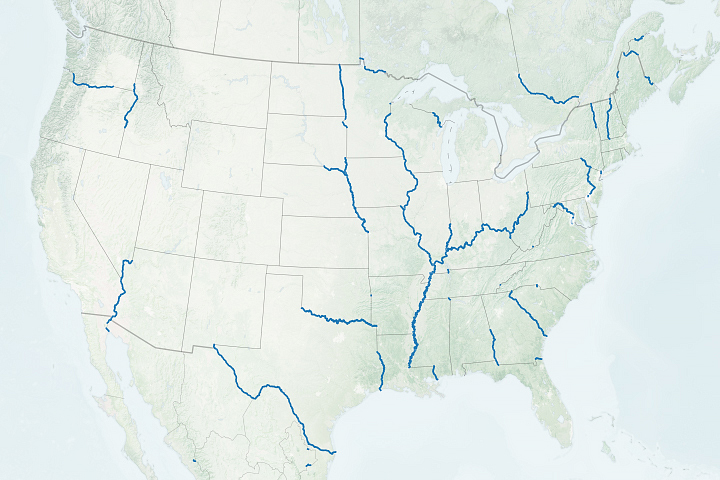
Many state and local boundaries around the world—including many in the United States—are the product of rivers.
Published Sep 8, 2020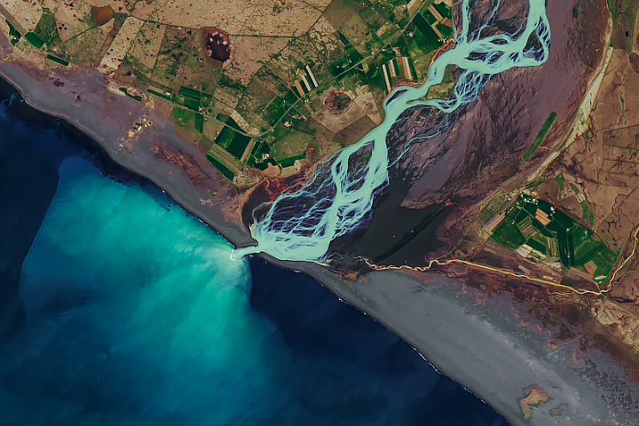
In a country rich with compelling geologic phenomena, even the rivers are connected to the landscape of fire and ice.
Published Aug 6, 2019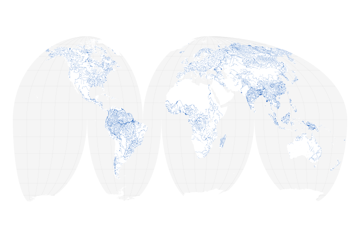
A new map of the world’s rivers and their widths shows that surface waterways are collectively wider and cover more area than previously thought.
Published Jul 18, 2018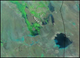
Like many rivers across the world, the Nzoia River in western Kenya pushes over its banks annually. In November 2008, the river burst through the dykes to flood the low-lying land around it.
Published Nov 22, 2008
As they prepare for a satellite that will measure the height and areal extent of rivers in unprecedented detail, hydrologists have released a better map of North American river widths.
Published Jul 9, 2015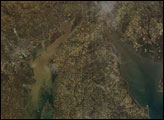
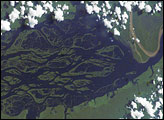
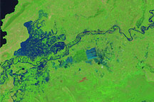
The wide, multi-island zone in the Rio Negro (Black River) shown in this astronaut photograph from September 2, 2006, is one of two, long “archipelagoes” upstream of the city of Manaus (not shown) in central Amazonia. Sixty kilometers of the total 120-kilemeter length of this archipelago appear in this image.
Published Dec 4, 2006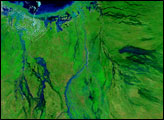
Merging rivers paint the landscape with muddy sediment.
Published Mar 19, 2012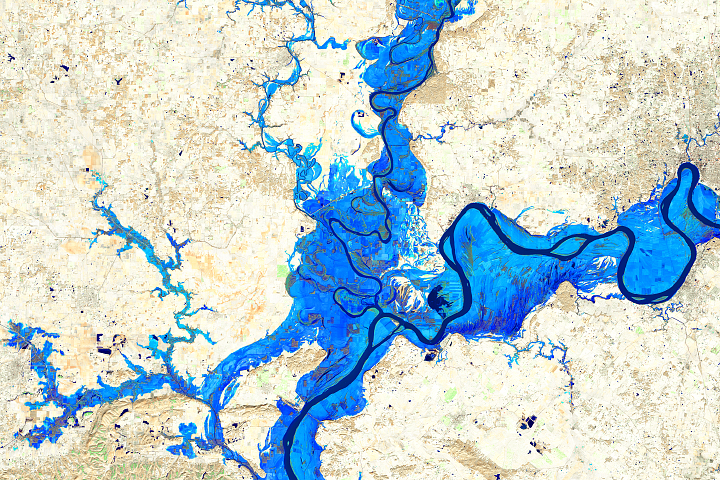
What happens downriver can be largely affected by what happens upriver in the floodplains of major rivers.
Published Mar 15, 2018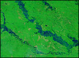
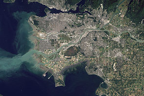
Flowing past the city of Vancouver, the Fraser River delivers a thick plume of sediment to the Strait of Georgia.
Published Mar 14, 2012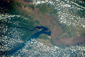
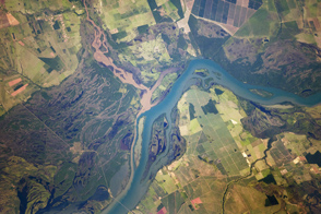
Two rivers meet near the port city of Santarém in the interior of Brazil.
Published Nov 2, 2015