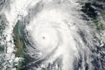
The MODIS instrument on NASA’s Aqua satellite captured this natural-color image of Typhoon Kompasu approaching the Korean peninsula and China on September 1, 2010.
Published Sep 2, 2010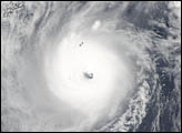
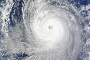
Typhoon Halong churned south of Japan when the Aqua satellite acquired this image on August 6, 2014.
Published Aug 6, 2014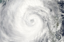
Category 4 Typhoon Megi sprawls over much of the South China Sea in this true-color image from October 20, 2010.
Published Oct 20, 2010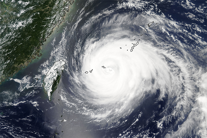
Once a super typhoon, the still powerful typhoon Maria brings damaging high winds and heavy rains towards Taiwan and eastern China.
Published Jul 11, 2018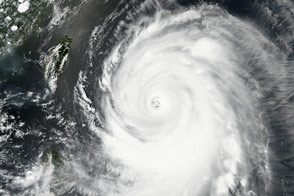
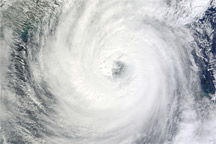
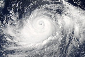
Acquired October 21, 2010, this natural-color image shows Typhoon Megi over the South China Sea.
Published Oct 21, 2010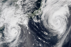
Two typhoons spun over the western North Pacific near Japan.
Published Aug 25, 2015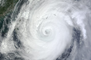
The storm was headed for Okinawa and the main island of Japan in late September 2012.
Published Sep 29, 2012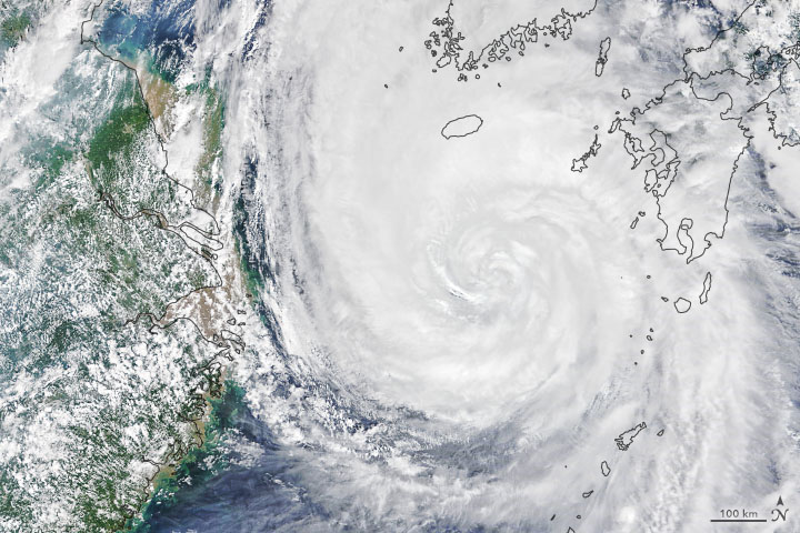
A peninsula that typically sees one typhoon per year might face three landfalling storms in two weeks.
Published Sep 2, 2020Image of the Day Atmosphere Land Water Severe Storms Human Presence
A storm spinning off the coast of Japan promises widespread rain.
Published Oct 4, 2014