Cyclone Megh will bring more rain to a nation that rarely sees more than a few tens of millimeters a year.
Published Nov 10, 2015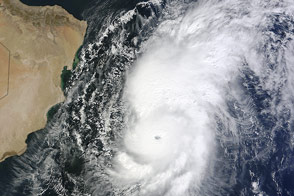
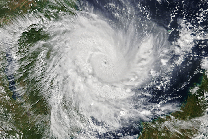
The storm became the third strongest on record for the Arabian Sea, but it was ripped apart by wind shear before reaching land.
Published Nov 2, 2014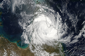
At the time of this image, Nathan was passing over Cape York peninsula.
Published Mar 20, 2015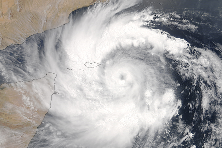
In the span of a week, the region has been hammered by back-to-back tropical cyclones.
Published May 23, 2018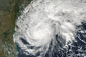
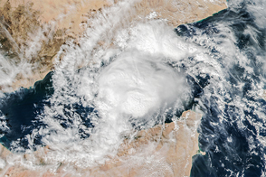
A tropical cyclone approached the coast of India in late November 2013.
Published Nov 21, 2013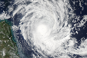
At the time of this image, the strengthening storm was headed for northeastern Queensland.
Published Mar 17, 2015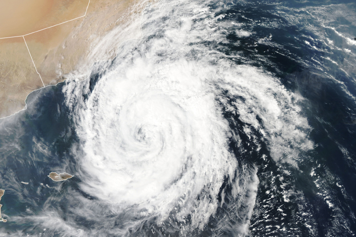
Luban is the third cyclone to develop in the Arabian Sea in 2018.
Published Oct 13, 2018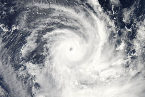
Tropical Cyclone Gillian became the equivalent of a Category 5 hurricane on March 23, 2014.
Published Mar 26, 2014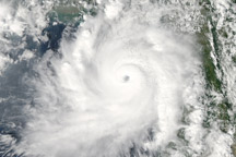
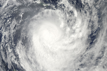
This image of Cyclone Giri approaching Myanmar (Burma) on October 22, 2010, shows a strong, mature storm with a well-defined eye and a circular shape.
Published Oct 23, 2010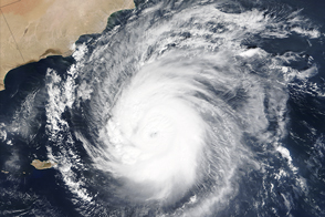
Cyclone Chapala approaches the coast of the Arabian Peninsula.
Published Nov 2, 2015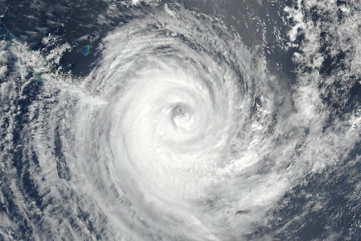
The tropical cyclone was one of the strongest on record to make a direct hit on Tongapatu.
Published Feb 16, 2018Image of the Day Atmosphere Land Severe Storms Human Presence
The tropical cyclone quickly intensified over 36 hours to arrive as a category 4 storm.
Published Apr 25, 2019Atmosphere Land Water Severe Storms Human Presence Remote Sensing
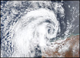
Topical Cyclone Rene was moving over the Pacific Island nation of Niue when this true-color image was taken on the afternoon of February 14, 2010.
Published Feb 15, 2010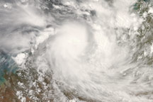
On December 19, 2008, Tropical Cyclone Billy made landfall in Western Australia as a Category 2 storm.
Published Dec 19, 2008