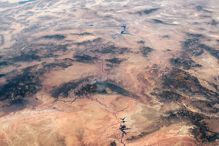
Ancient geologic features and modern creations share the spotlight in this photo of southeastern Utah and northern Arizona taken from the ISS.
Published Feb 23, 2020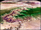
Striking landforms and broad vistas mark the Utah-Arizona border region of the Colorado Plateau.
Published Mar 25, 2013
Sinking blocks of rock created this distinctive network of valleys.
Published Jun 6, 2014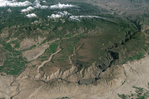
The Gunnison is forced to stay on this beaten path, unable to leave the valley.
Published Dec 17, 2016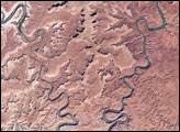
This park in Utah encompasses some of the most remote and rugged terrain in the continental United States.
Published Jan 3, 2008
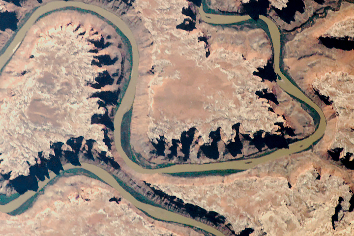
Parts of the Glen Canyon that John Wesley Powell explored in 1869 have been submerged by Lake Powell.
Published Oct 16, 2016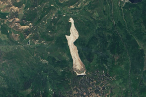
The Grand Mesa of western Colorado is extremely prone to landslides, and on May 25, an unusually large one sped across some three miles near the town of Collbran.
Published Jun 20, 2014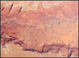
he largest tributary of the Colorado River between Lake Powell and the Grand Canyon, the Paria River flows southeast from its headwaters in southernmost Utah to join the Colorado River between Page, Arizona, and Marble Canyon. The Paria River provides spectacular scenery, and is known for the very narrow “slot” canyons that it cuts through the layered rocks of the Colorado Plateau.
Published Jun 23, 2008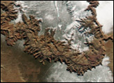

The highlights of this landscape in southern Utah tend to reach down into the Earth, rather than soaring above it.
Published Aug 20, 2017
The geology of the Grand Canyon has amazed visitors since John Wesley Powell first navigated the Colorado River in 1869. Now the Landsat Data Continuity Mission (LDCM) offers a new view of the gorge.
Published Apr 20, 2013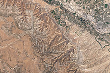
Acquired April 2, 2002, this natural-color image shows Colorado National Monument and nearby agricultural and residential areas.
Published Mar 6, 2011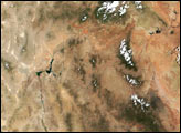
The old river has cut compelling patterns and formations into the red rocks of Utah.
Published Sep 18, 2018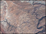
Situated in Utah, the park is home to 2,000 arches and windows in rock, as well as rock spires and pinnacles.
Published May 8, 2005