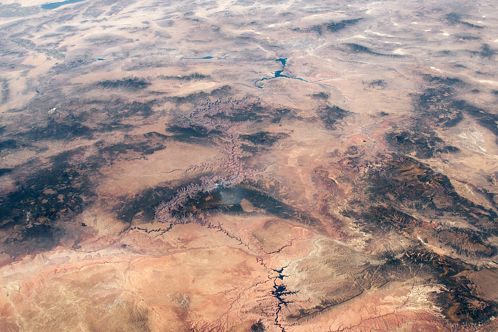
Ancient geologic features and modern creations share the spotlight in this photo of southeastern Utah and northern Arizona taken from the ISS.
Published Feb 23, 2020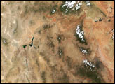
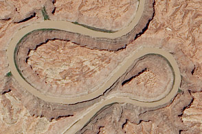
A double oxbow etched into the Colorado Plateau in Canyonlands National Park likely got its shape from an ancestral river.
Published Jun 18, 2014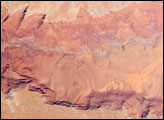
he largest tributary of the Colorado River between Lake Powell and the Grand Canyon, the Paria River flows southeast from its headwaters in southernmost Utah to join the Colorado River between Page, Arizona, and Marble Canyon. The Paria River provides spectacular scenery, and is known for the very narrow “slot” canyons that it cuts through the layered rocks of the Colorado Plateau.
Published Jun 23, 2008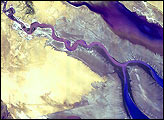

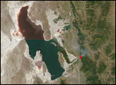
Man and nature have both altered the course of a southwestern U.S. river.
Published May 21, 2012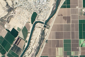
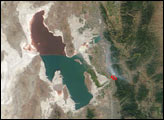
With nearly all of the Colorado River’s water diverted for human uses, its delta has withered. A plan to release some water from dams and reservoirs this spring offers hope for a greener future.
Published Mar 22, 2014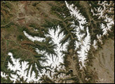
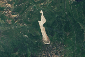
The Grand Mesa of western Colorado is extremely prone to landslides, and on May 25, an unusually large one sped across some three miles near the town of Collbran.
Published Jun 20, 2014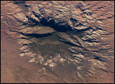
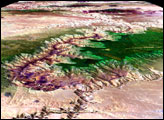
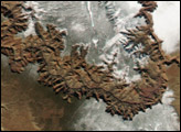
The Colorado Plateau of Arizona, Colorado, New Mexico, and Utah is made of mostly flat-lying layers of sedimentary rock that record paleoclimate extremes ranging from oceans to widespread deserts over the last 1.8 billion years. Navajo Mountain in southeastern Utah is a dome-shaped chunk of igneous rock that intruded into the sedimentary layers and lifted up the overlying layer. Navajo Mountain is one of several of these rock formations, called laccolith by geologists, in southeastern Utah’s portion of the Plateau. This oblique (from-the-side) astronaut photograph highlights Navajo Mountain in the center of the image, surrounded by light red-brown Navajo Sandstone (also visible in the canyon at bottom of the image). The igneous rock at the core of the mountain is wrapped in sedimentary layers. The peak of Navajo Mountain, at approximately 3,148 meters (10,388 feet) elevation, is comprised of uplifted Dakota Sandstone deposited during the Cretaceous Period (approximately 66-138 million years ago).
Published Oct 31, 2005