The snowpack near Boston is greater than in all but two reported locations in Alaska.
Published Feb 18, 2015
This satellite map of snow cover shows that every state in the contiguous U.S., except for Florida, received snow in January 2011.
Published Feb 25, 2011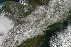
An unseasonably early storm dropped wet, heavy snow from West Virginia to Maine in late October 2011.
Published Nov 1, 2011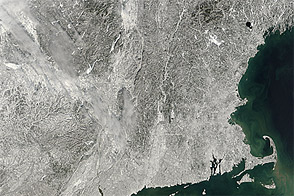
Acquired February 10, 2013, this image shows snow left in New England by a nor’easter.
Published Feb 11, 2013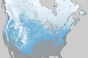
What a difference one year has made in the snow cover over North America.
Published Mar 30, 2012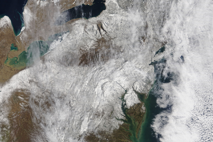
A blanket of snow imparted a wintery appearance to the eastern United States for the first few days of spring 2018.
Published Mar 23, 2018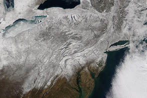
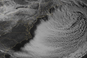
A blizzard brought snow to New England and moderate snow to the Middle Atlantic.
Published Jan 30, 2015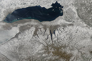
Snow cover sprawled across the northeastern United States in early March 2013, in the wake of a winter storm.
Published Mar 12, 2013
A swath of snow stretches from Mississippi, across Alabama, and into Georgia in this photo-like satellite image from February 13, 2010.
Published Feb 15, 2010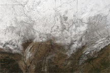
Acquired January 10, 2010, this true-color image shows snow cover stretching from Oklahoma to Pennsylvania. Snow thins toward the southwest.
Published Jan 11, 2010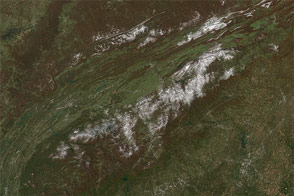
A potent weather system with origins in Manitoba moved south across the Great Lakes on Halloween and blew all the way to Florida, bringing snow and hard frost to regions that don't see either in some winters.
Published Nov 4, 2014
On February 14-15, 2007, a severe winter storm pummeled the northeastern United States and southeastern Canada.
Published Feb 23, 2007Image of the Day Atmosphere Land Severe Storms Unique Imagery Snow and Ice
A cold spring and unusually snowy winter led to this uncommon view of winter snow on Utah’s Uinta Mountains in July.
Published Jul 22, 2011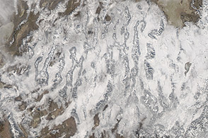
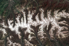
Acquired December 19, 2012, this natural-color image shows snow cover stretching across multiple states in the western United States.
Published Dec 21, 2012