50 trillion pixels of Landsat data give researchers a lot of opportunities to look at Earth processes on scales from days to decades.
Published Apr 16, 2015
A composite view of the United States represents one of the ways scientists are exploring Landsat 8’s capabilities.
Published Feb 11, 2014
When the Landsat archive is combined with modern computing power, scientists can view the planet not just across space, but also time.
Published Jun 11, 2013Image of the Day Land Unique Imagery Human Presence Remote Sensing
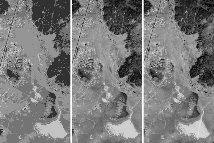
Being able to see traces of human history in satellite imagery is dependent on what details can be resolved on a given image. There are four main types of image resolution.
Published Oct 4, 2017
LDCM extends an unprecedented four-decade record of global land observations.
Published Feb 12, 2013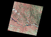
The first scene from Landsat 7 was acquired on Sunday, April 18. The scene includes the Sioux Falls and Yankton areas.
Published Apr 26, 1999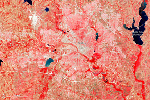
This image of the Dallas metro area was the very first image in the archives of the Landsat mission, launched in 1972.
Published Jul 23, 2012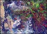
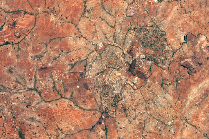
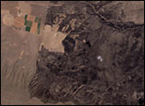
A fishing town became a bustling city after Malawi’s president moved the capital there.
Published Dec 19, 2018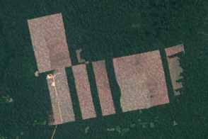
Free, open-access imagery helps scientists monitor remote areas and protect tropical forests.
Published Nov 19, 2013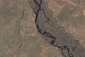
Fifty-six images were stitched together to present a seamless mosaic of what the newest Landsat saw on April 19, 2013. Here are some highlights of the satellite tour.
Published May 16, 2013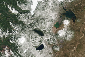
The Cascade Mountains and nearby forests and lakes provide a good test of the visual range of the new LDCM satellite.
Published Apr 30, 2013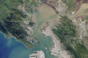
Landsat 8 can observe wavelengths of blue light that will make it easier to observe the swirl of life and water along the world’s coastlines.
Published May 31, 2013
Earth science satellites are designed to study our home planet’s surface and atmosphere, but occasionally they capture views of other objects in low-Earth orbit such as satellites, the International Space Station, and rocket debris.
Published Jun 29, 2016