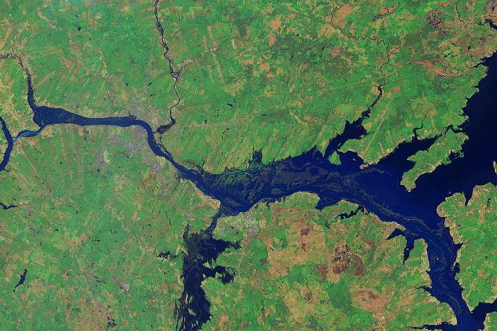
Warm temperatures and a heavy late-season snowpack led to flooding in Canada’s New Brunswick province.
Published May 9, 2018Image of the Day Land Water Floods Human Presence Remote Sensing
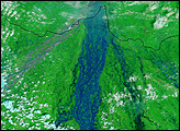
Standing on the ground, it is impossible to gauge the full scope of a disaster the size of the Kosi River floods in northeastern India. On August 18, 2008, the river, swollen with monsoon rains, burst through an embankment into an old channel. By September 2, the river’s course still took it over populated land that had not been prone to flooding in the past. To grasp the full extent of this flood, you need the view from space.
Published Sep 6, 2008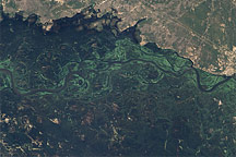
This pair of images illustrates the dramatic flooding of the Zambezi River in Namibia in late March 2009.
Published Apr 2, 2009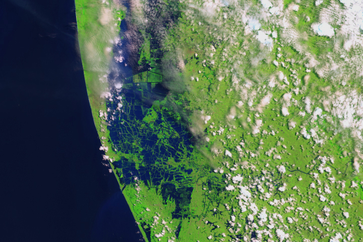
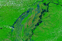
Swollen rivers have altered the landscape in India’s state of Kerala.
Published Aug 24, 2018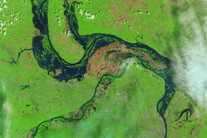
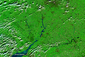
The Landsat 8 satellite observed water out of the river banks and on the floodplains near St. Louis.
Published May 9, 2019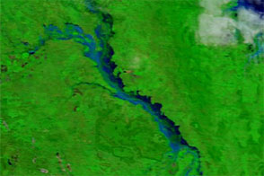
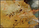
Acquired in late March 2012 and 2011, these images compare conditions along the Isaac River, a tributary of Queensland’s Fitzroy River.
Published Mar 29, 2012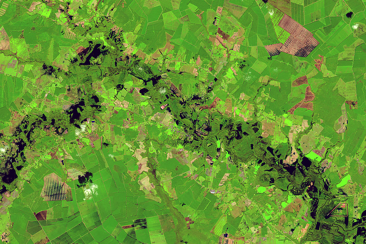
Rivers swelled from the torrential rains of Hurricane Florence.
Published Sep 22, 2018Image of the Day Land Water Severe Storms Human Presence Remote Sensing
A series of rainstorms pushed rivers in southern Great Britain to flood stage in February 2014.
Published Feb 17, 2014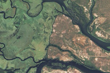
Originating in swampy wetlands, the river tumbles over one of the world’s largest waterfalls, flows through deep gorges, and spreads across broad floodplains.
Published Jun 1, 2010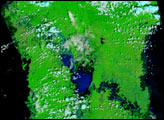
Acquired April 28, 2011, and April 29, 2010, these false-color images compare spring flooding conditions.
Published Apr 28, 2011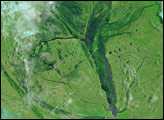
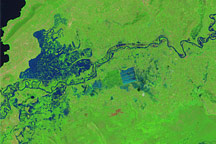
Like many rivers across the world, the Nzoia River in western Kenya pushes over its banks annually. In November 2008, the river burst through the dykes to flood the low-lying land around it.
Published Nov 22, 2008