
Views from the ground and from space are helping scientists understand how soil moisture affects U.S. agriculture.
Published Nov 25, 2015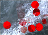
By planting in narrow strips and plowing in patterns that mimic the natural contours of the land, farmers in southeastern Washington are trying to prevent productive soils from washing away.
Published Aug 31, 2014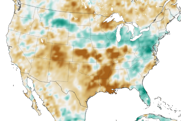
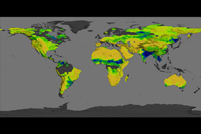
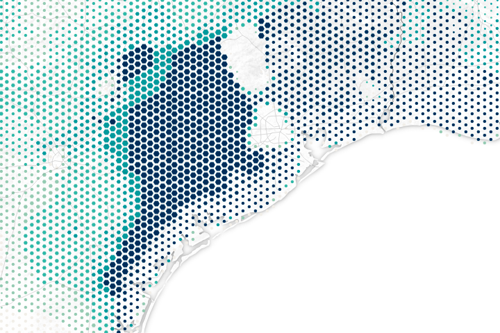
The amount of water contained in the top few centimeters of soil is small on a global scale, but it is critical for agriculture analysts trying to monitor commodity production and humanitarian need.
Published Jun 2, 2018
The proportion of sand, silt, and clay contained in soil across the U.S. affects the amount of water it can hold.
Published Jan 9, 2016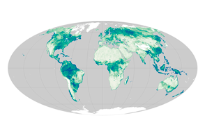
Satellite sensors uncover a global view of the water hidden between soil particles.
Published Nov 12, 2015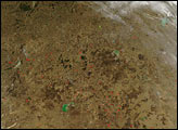
The Aquarius instrument was designed to study ocean salinity, but it is also making an important contribution to studies of the water cycle on land.
Published Jul 15, 2014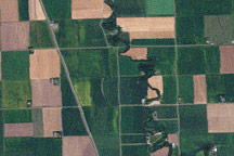
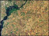
Lush green fields dominate this Landsat image of northwest Minnesota from September 10, 2009, though some crops have already been harvested leaving squares of tan and brown.
Published Sep 18, 2009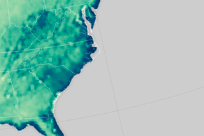
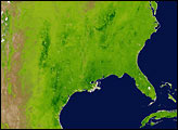
An extreme rainfall event saturated the soil along the U.S. East Coast.
Published Oct 8, 2015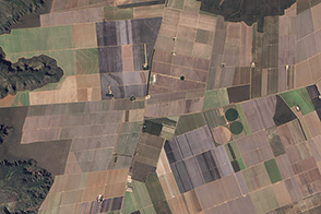
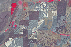
The transformation of Brazil’s tropical savannas into farmland has made western Bahia into a prime area for soybean production.
Published Nov 26, 2015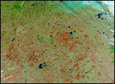
Southern Russia produces roughly 40 percent of the country’s total agricultural output, and Saratov Oblast is the largest producer of grain in the Volga region. Vegetation changes in the province’s agricultural lands between spring and summer are apparent in these images acquired on May 31 and July 18, 2002 (upper and lower image panels, respectively) by the Multi-angle Imaging SpectroRadiometer (MISR).
Published Aug 1, 2002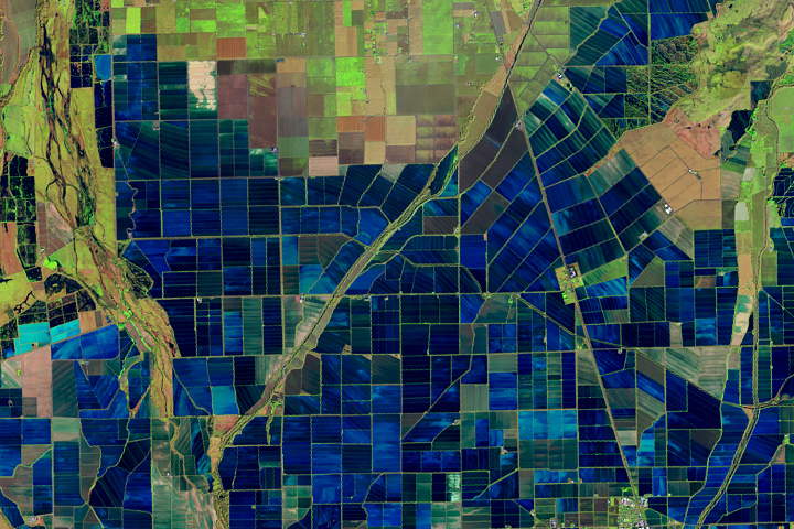
Flooded rice fields in the winter help farmers soften plant stubble for spring tilling. They also provide an oasis for migratory birds.
Published Mar 26, 2019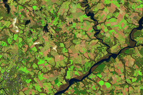
Many farmers in Maryland plant winter cover crops—a practice that reduces how much pollution flows into Chesapeake Bay.
Published Apr 26, 2017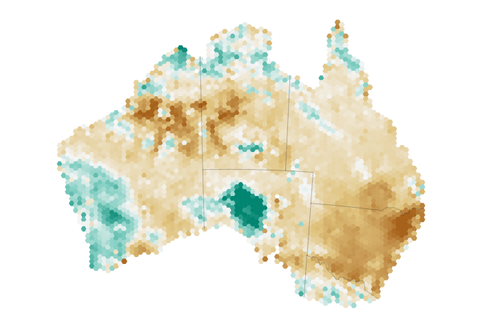
Eastern Australia has been hit particularly hard by drought, taking a toll on the region’s soil moisture and agriculture.
Published Aug 9, 2018Image of the Day Land Water Drought Human Presence Remote Sensing
Harvey dropped buckets of rain on areas that were already very dry or very wet.
Published Aug 31, 2017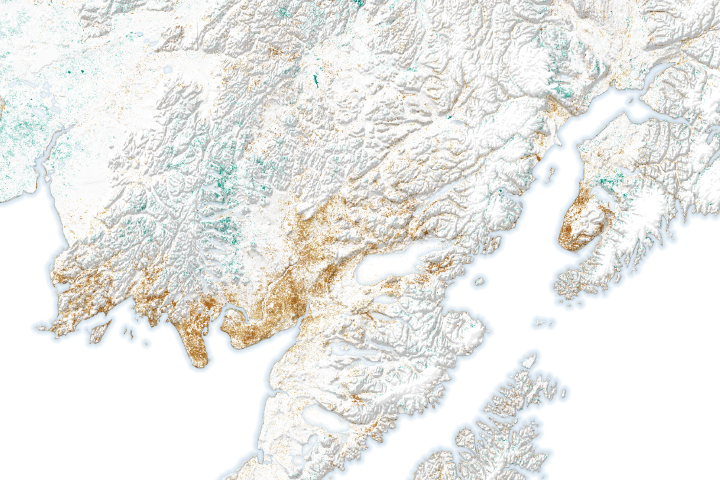
Tree and plant cover has deteriorated considerably in some areas, while advancing in other areas that previously burned or used to be frozen.
Published Jul 27, 2020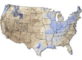
About 40 percent of America’s rose plants come from a small town northwest of Bakersfield, California.
Published Mar 8, 2013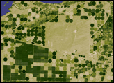
he difference between poplar plantations and native vegetation is illustrated in this pair of satellite images, collected by the Advanced Spaceborne Thermal Emission and Reflection Radiometer (ASTER) on NASA’s Terra satellite on August 27, 2006.
Published Dec 10, 2006