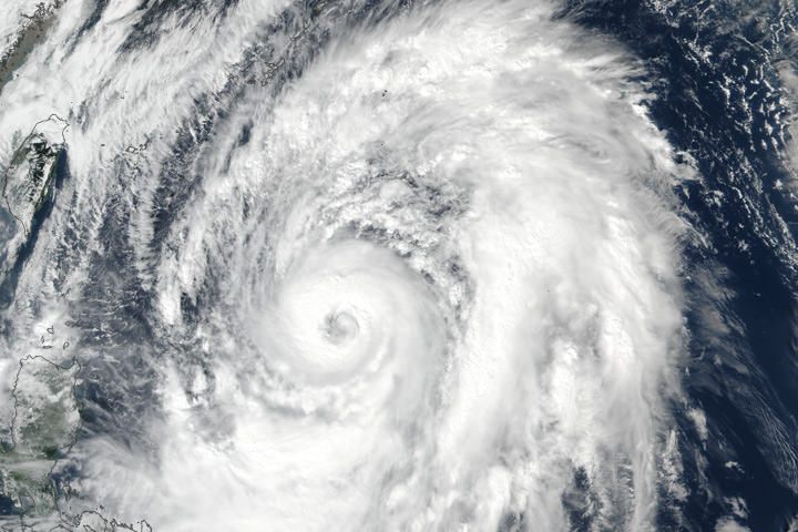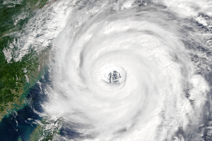

In early September 2017, three hurricanes churned in the Atlantic Basin. A week later, the Northwest Pacific Basin was dealing with multiple typhoons.
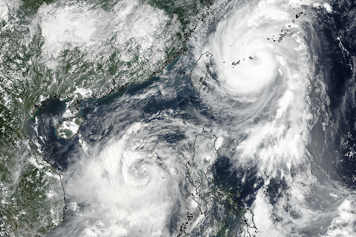
The Visible Infrared Imaging Radiometer Suite (VIIRS) on Suomi NPP captured this image of a pair of storms—Talim and Doksuri—at 2:06 p.m. local time (6:06 Universal Time) on September 13, 2017.
At that time, Typhoon Talim had maximum sustained winds of 90 knots (104 miles or 167 kilometers per hour) and was strengthening as it moved north along the coast of China. Forecasters expected the storm to turn northeast putting it on a track to strike the island of Kyushu, Japan, on September 16.
Meanwhile, tropical storm Doksuri, which had maximum sustained winds of 45 knots (52 miles or 83 kilometers per hour), was moving east-northeast and was expected to strengthen and pass near the Chinese island of Hainan before making landfall in northern Vietnam on September 15.
NASA image by Jeff Schmaltz, LANCE/EOSDIS Rapid Response. Caption by Adam Voiland.
Typhoon Talim and tropical storm Doksuri are heading toward Japan and Vietnam.
More tropical cyclones emerge from the Northwest Pacific Basin each year than any other basin in the world.


