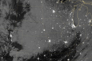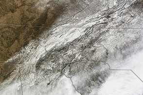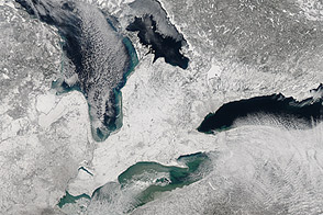
In late February 2013, a major snowstorm made its way across the continental United States, dropping snow from Colorado to the Great Lakes region. The National Weather Service reported snow totals of 5 to 8 inches (13 to 20 centimeters) in many parts of the Central Plains and Upper Mississippi River Valley. Some parts of the Central Plains experienced snowfall rates as high as 4 inches (10 centimeters) per hour, along with thundersnow.
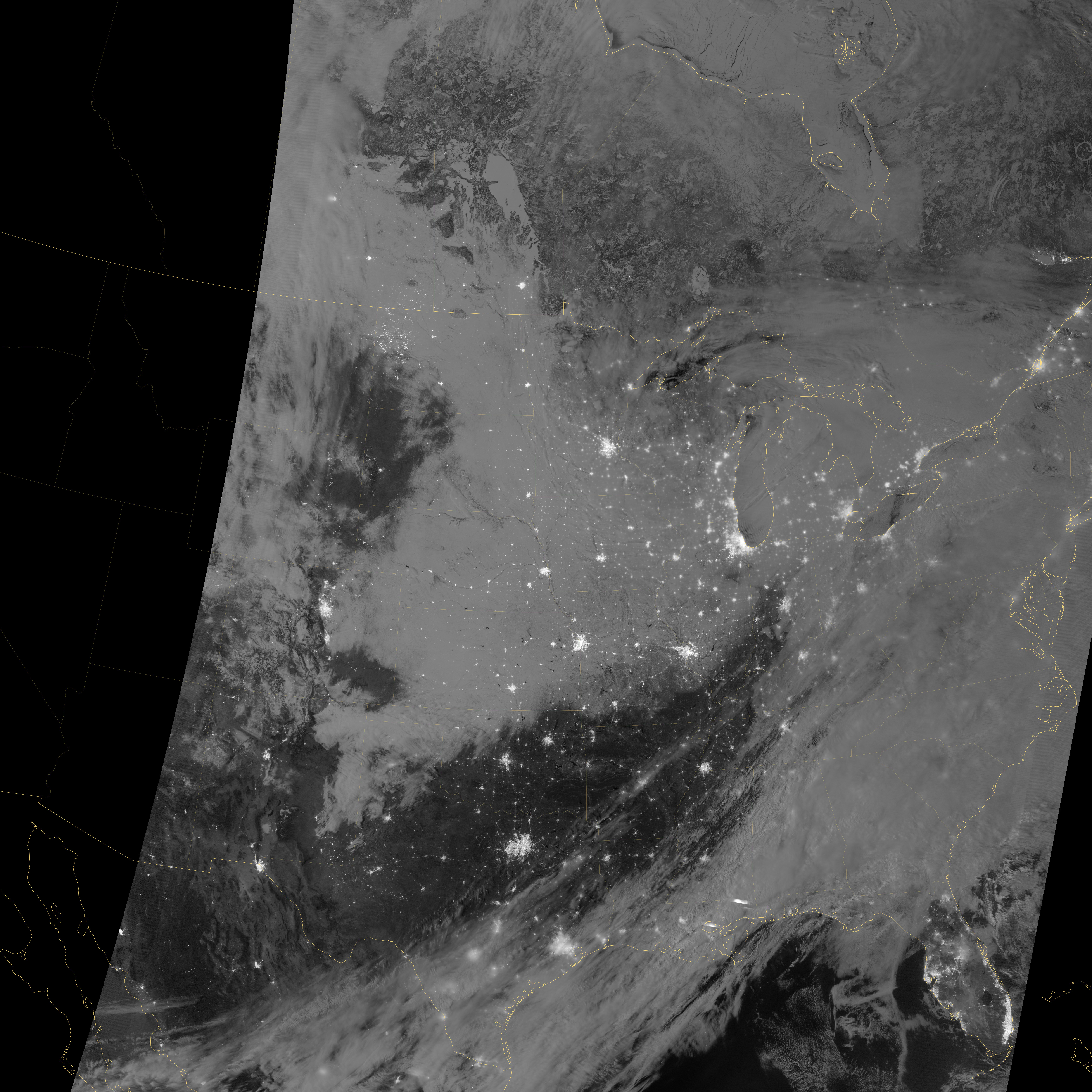
The Visible Infrared Imaging Radiometer Suite (VIIRS) on the Suomi NPP satellite captured this nighttime view at 1:55 a.m. Central Standard Time on February 23. This imagery is from the VIIRS “day-night band,” which detects light in a range of wavelengths from green to near-infrared. The day-night band takes advantage of moonlight, airglow, and starlight to brighten the landscape and uses filtering techniques to observe signals such as city lights and snow cover. On the night of this image, the Moon was nearly full.
City lights glow like clusters of stars against a backdrop of grey and black in this image. The snow appears medium gray, and stretches from northern Texas to the Dakotas,and from the Rocky Mountain states eastward past Chicago. When VIIRS acquired this image, snow cover across multiple states had persisted since the previous night.
NASA Earth Observatory image by Jesse Allen and Robert Simmon, using VIIRS day-night band data from the Suomi National Polar-orbiting Partnership. Suomi NPP is the result of a partnership between NASA, the National Oceanic and Atmospheric Administration, and the Department of Defense. Caption by Michon Scott.