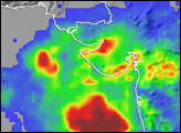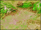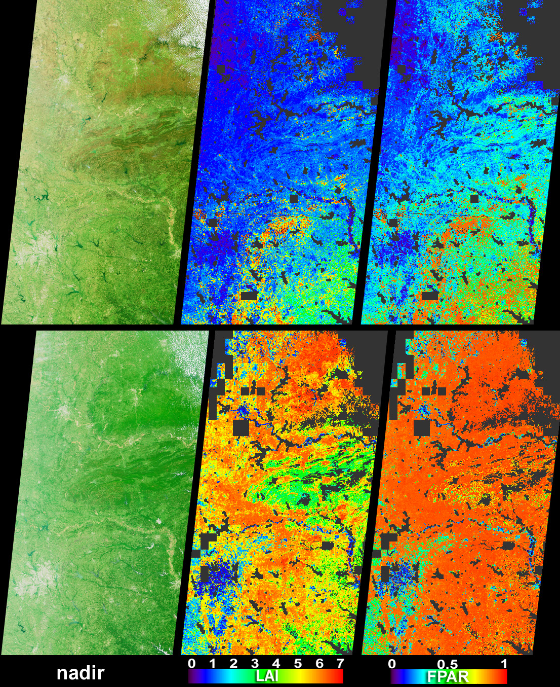
Vigorous vegetation growth in the Southern United States after heavy rains fell during April and early May, 2004, is quantified in these images and data products from the Multi-angle Imaging SpectroRadiometer (MISR). The images were acquired on April 1 (top set) and May 3 (bottom set), and extend through Kansas and Missouri, Oklahoma and Arkansas, and eastern Texas, with the Texas-Louisiana border at the bottom right-hand corner.
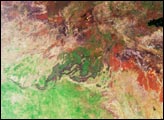
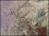
The left-hand images are natural-color views from MISR’s nadir camera. In the month between the April and May images, the overall greenness is enhanced, and the Boston and Ouachita Mountains are transformed from brownish hues to vivid green. The city of Dallas, Texas, appears as the pale gray area at lower left and the Red River (which corresponds with the Texas-Oklahoma border) is apparent as the yellowish feature flowing toward the lower left-hand edge. Scattered clouds appear in the upper right-hand corners of both images. Quantitative values for the vegetation changes are provided by the center and right-hand images. The middle panels show Leaf Area Index (LAI), or the area of leaves per unit area of ground below them, as measured from above. The right-hand panels show FPAR, which is the fraction of the photosynthetically active region (PAR) of visible light (400 - 700 nm) absorbed by green vegetation. LAI and FPAR are two important quantities for monitoring the photosynthetic activity and carbon uptake efficiency of live vegetation. MISR’s LAI and FPAR products make use of aerosol retrievals to correct for atmospheric scattering and absorption effects, and use plant canopy structural models to determine the partitioning of solar radiation. Both of these aspects are facilitated by the multiangular nature of the MISR measurements.
The Multi-angle Imaging SpectroRadiometer observes the daylit Earth continuously and every 9 days views the entire globe between 82 degrees north and 82 degrees south latitude. The MISR Browse Image Viewer provides access to low-resolution true-color versions of these images. These data products were generated from a portion of the imagery acquired during Terra orbits 22810 and 23276. The panels cover an area of about 380 kilometers x 704 kilometers, and utilize data from blocks 61 to 65 within World Reference System-2 path 26.
Image courtesy NASA/GSFC/LaRC/JPL, MISR Team. Text by Clare Averill (Raytheon ITSS/Jet Propulsion Laboratory).