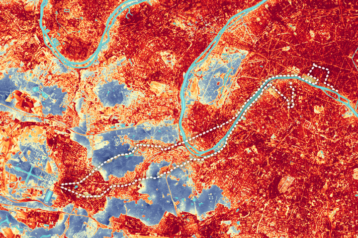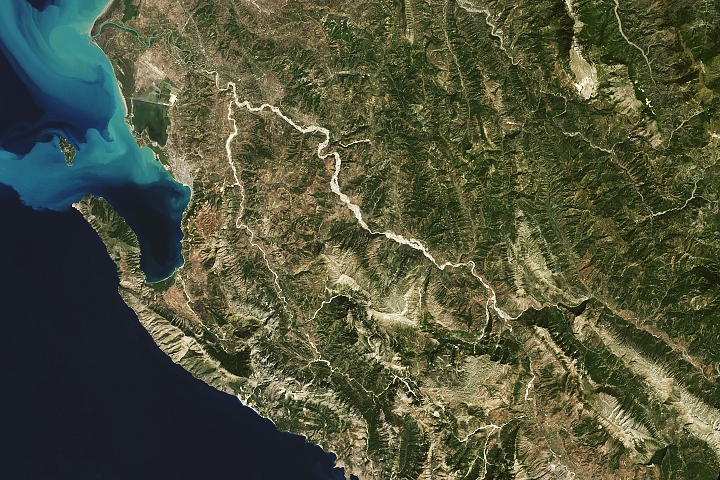
An astronaut aboard the International Space Station captured this nadir (downward-looking) photograph of the Benghazi district in northern Libya while orbiting over the Mediterranean Sea. This detailed photo, taken with a handheld camera using a long focal length lens, shows the Wadi al Qattarah and villages along its banks. The term wadi derives from Arabic and Hebrew and refers to an ephemeral riverbed that only holds water during the rainy season.
Cropland, desert, and built-up areas are visible in this image. The intensively cultivated and irrigated agricultural zone appears as clusters of dark-hued, square fields in the bottom half of the scene. This contrasts with the less developed area in the top half of the image used for livestock grazing and herding.
The image also shows a dam of the Wadi al Qattarah. This dam, together with the main dam to the northeast (out of frame), helps to control floods from the surrounding catchment area. The wadi’s valley, winding down the center of this image, carries water to the Mediterranean Sea on the west-northwestern side of Benghazi city (out of frame).
The dams and rivers in this area have a long history of flooding. This image was taken weeks before Storm Daniel struck Libya with intense rainfall on September 10, 2023, causing devastating floods in the northeastern cities. The storm originated from a low-pressure system that evolved into a tropical-like cyclone known as a medicane. In the city of Derna, about 230 kilometers (140 miles) northeast of this photo, flooding from the storm triggered the collapse of two dams, causing severe damage.
In past decades, the dams along the Wadi al Qattarah have also been damaged or destroyed, leading them to be rehabilitated or rebuilt. Today, they serve as an important protector of Benghazi against floods coming from the wadi and its watershed.
Astronaut photograph ISS069-E-61443 was acquired on August 17, 2023, with a Nikon D5 digital camera using a focal length of 1150 millimeters. It is provided by the ISS Crew Earth Observations Facility and the Earth Science and Remote Sensing Unit, Johnson Space Center. The image was taken by a member of the Expedition 69 crew. The image has been cropped and enhanced to improve contrast, and lens artifacts have been removed. The International Space Station Program supports the laboratory as part of the ISS National Lab to help astronauts take pictures of Earth that will be of the greatest value to scientists and the public, and to make those images freely available on the Internet. Additional images taken by astronauts and cosmonauts can be viewed at the NASA/JSC Gateway to Astronaut Photography of Earth. Caption by Wilfredo García López/Jacobs-JETS II Contract at NASA-JSC.