With the arrival of the spring flood season, millions of Americans living near rivers in the Midwest and Great Plains will be warily watching the weather. In parts of South Dakota, however, last year’s flood season never really ended.
While federal forecasters do not expect flooding in 2020 to be as severe or prolonged as during record-breaking 2019 floods, they do predict major to moderate floods in 23 states, especially North Dakota, South Dakota, and Minnesota.
With many parts of these states coming off their wettest years on record, soils are already saturated. In South Dakota in 2019, many areas received about twice the average amount of precipitation. Rain and snowfall have been so relentless that at least one river has been stuck at flood stage for more than a year.
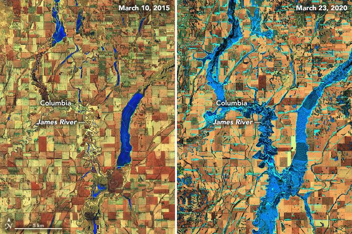
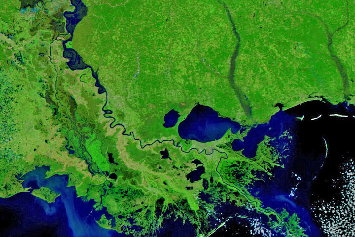
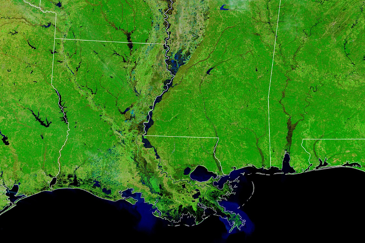
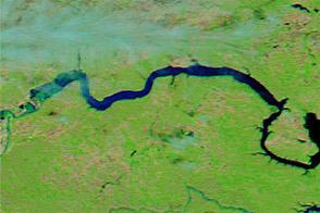
On March 23, 2020, the Operational Land Imager (OLI) on Landsat 8 captured an image showing high water levels on the James River, a tributary of the Missouri River in eastern South Dakota. For comparison, the second Landsat image shows the same area during a more typical spring in March 2015. In this false-color view (bands 6-5-4), ice appears light blue. Open water is dark blue.
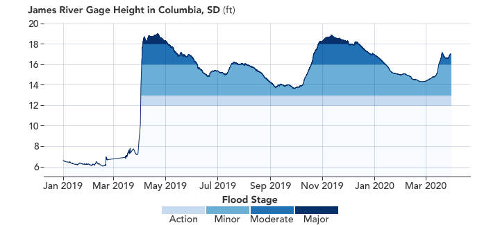
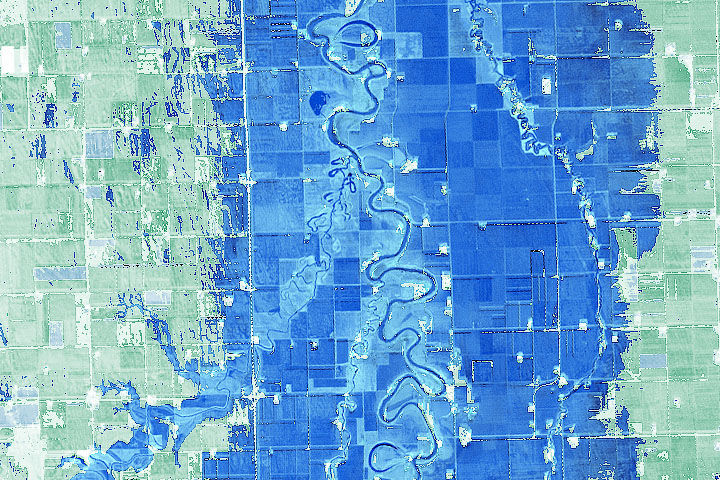
At streamflow gages at Columbia and Stratford, water levels have been at or above flood stage since April 2019, according to data from the U.S. Geological Survey (shown above). Prolonged flooding has occurred at four other stations on the James River as well, according to the Missouri Basin River Forecast Center.
“The river levels never fell in the winter because the ground was fully saturated when it froze last fall,” explained Amy Parkin, a meteorologist at the National Weather Service office in Aberdeen, South Dakota. “As the snow and river ice melted over the past few weeks, the water had nowhere to go.”
The unusually flat terrain in the area has also contributed to the length of the flood. The elevation along the James River only drops 100 feet (30 meters) from the North Dakota border to the Nebraska border, noted Parkin. “The riverbanks are fairly low, and the water does not flow quickly. When there is a strong south wind, we have actually seen the river flow north.”
NASA’s Earth Applied Sciences Disasters Program plays a role in improving the predictions of and responses to disasters and natural hazards. While NASA is a research organization and not an official first responder to natural disasters like NOAA, USGS, or FEMA, it does have specialized satellites, airplanes, and researchers that can provide unique observations to assess flood impacts. Click here to learn more about some of the unique tools and datasets that NASA provides to aid with flood response.
NASA Earth Observatory images by Joshua Stevens, using Landsat data from the U.S. Geological Survey, and water level data from the National Water Information System. Story by Adam Voiland.


