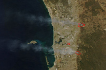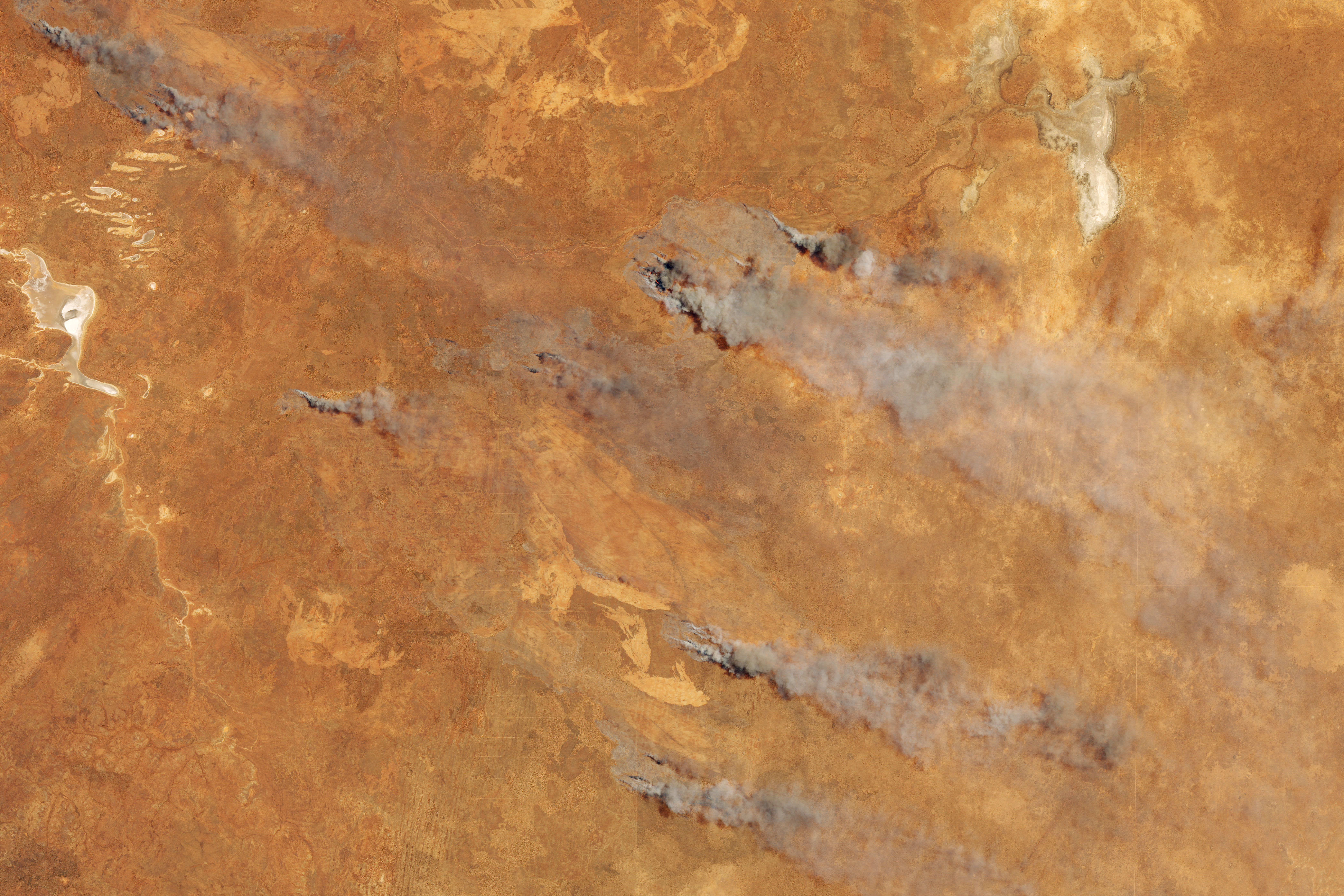
On November 5, 2019, the Operational Land Imager (OLI) on Landsat 8 acquired this natural-color image of fire and smoke in southern Western Australia. The fire burned in the Goldfields region, about 230 kilometers northeast of Norseman.
The fire follows what has been a dry winter and spring, leaving vegetation prone to burning and the fire danger high. Experts say the dryness is a result of the Indian Ocean Dipole, which can affect rainfall and temperatures across Australia.
NASA Earth Observatory image by Lauren Dauphin, using Landsat data from the U.S. Geological Survey. Text by Kathryn Hansen.
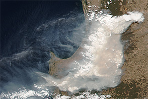
The late-spring fire follows what has been a dry winter and spring across most of the country.

Drought and extreme heat primed much of the continent for unusually extreme fire activity, which was then followed by dangerous flooding.

alert message